
Potato Patch Falls – A Seasonal Waterfall in Pictured Rocks National Lakeshore

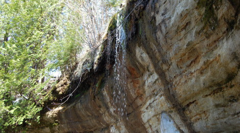
The Pictured Rocks National Lakeshore is well-known for its stunning views of cliffs on Lake Superior, pristine hiking trails and plentiful waterfalls. Not every waterfall in the county is as stunning as Spray Falls or as powerful as Miners Falls, but each one is worth visiting. Potato Patch Falls is a little-known plunge near Miners Beach and Elliot Falls, where a small creek makes a 20-foot drop in a fashion similar to Munising Falls, Tannery Falls and MNA Memorial Falls in Munising.
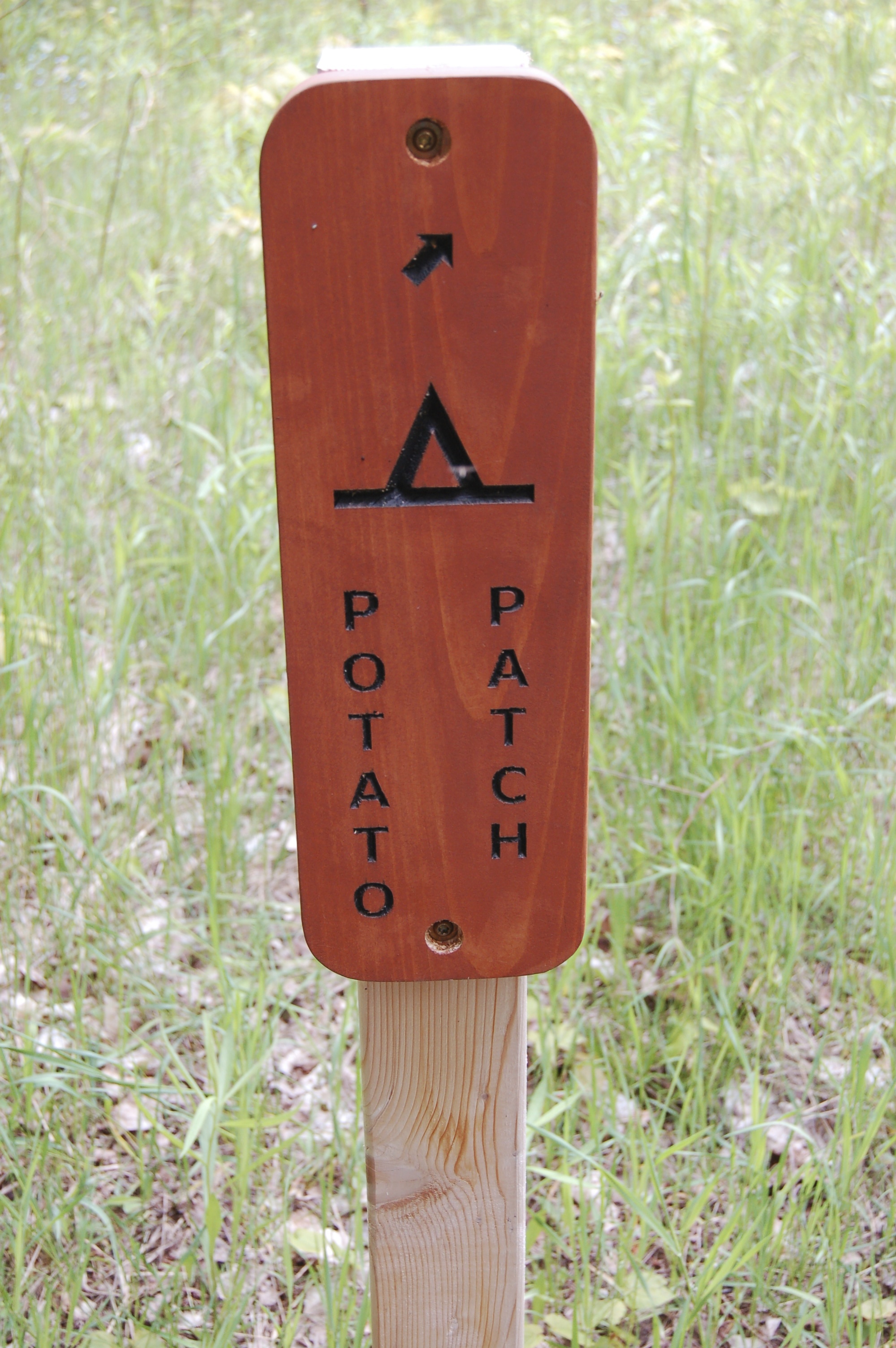
One of the best things about visiting Potato Patch Falls is that while it is only about a mile from the popular Miners Beach, few people head this way to the trailhead parking lot. It is only a quarter-mile trek to get to this waterfall, but it can be a strenuous one as it is mostly uphill. The name of the falls comes from the Potato Patch Backcountry Campsite located near the top of the falls on the North Country Trail.
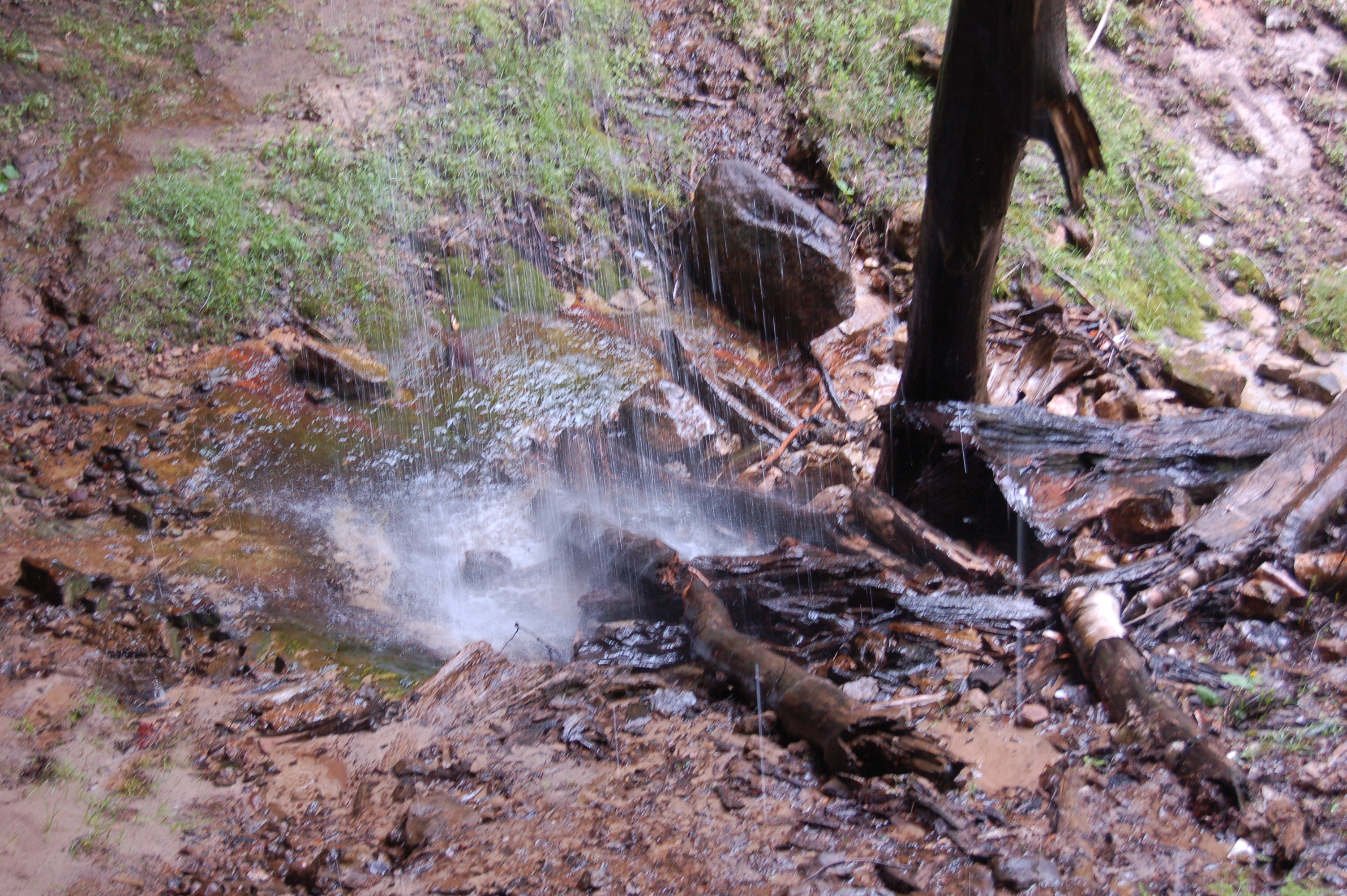
The downside to this waterfall is that it is incredibly seasonal – sometimes after spring melt or a heavy rain it will really be flowing and you will hear it shortly in to your hike. Other times the flow can be so low that it just looks like someone left a hose running at the top of the falls.
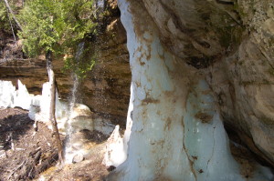
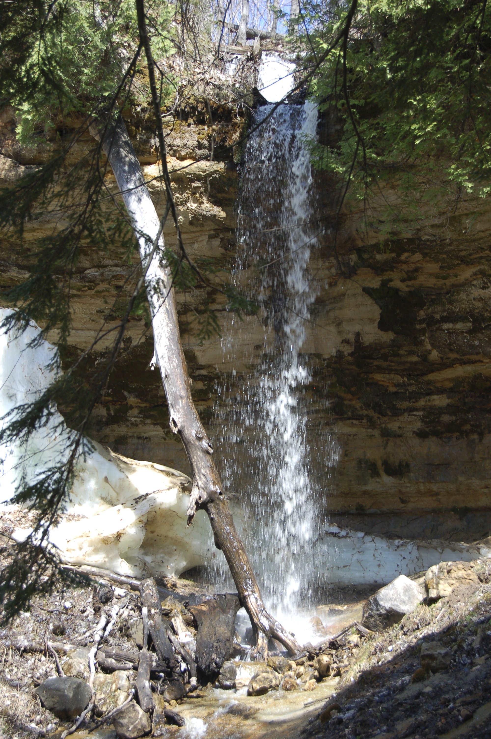
In our two visits,we’ve been lucky to find water each time. Our first visit in June of 2014 and our second visit in May of 2015 found a waterfall about two feet wide dropping over the rock ledge. The 2015 visit found remnants of snow and packed ice under the falls by the plunge pool, a reminder of how long the winters in the Upper Peninsula can last.
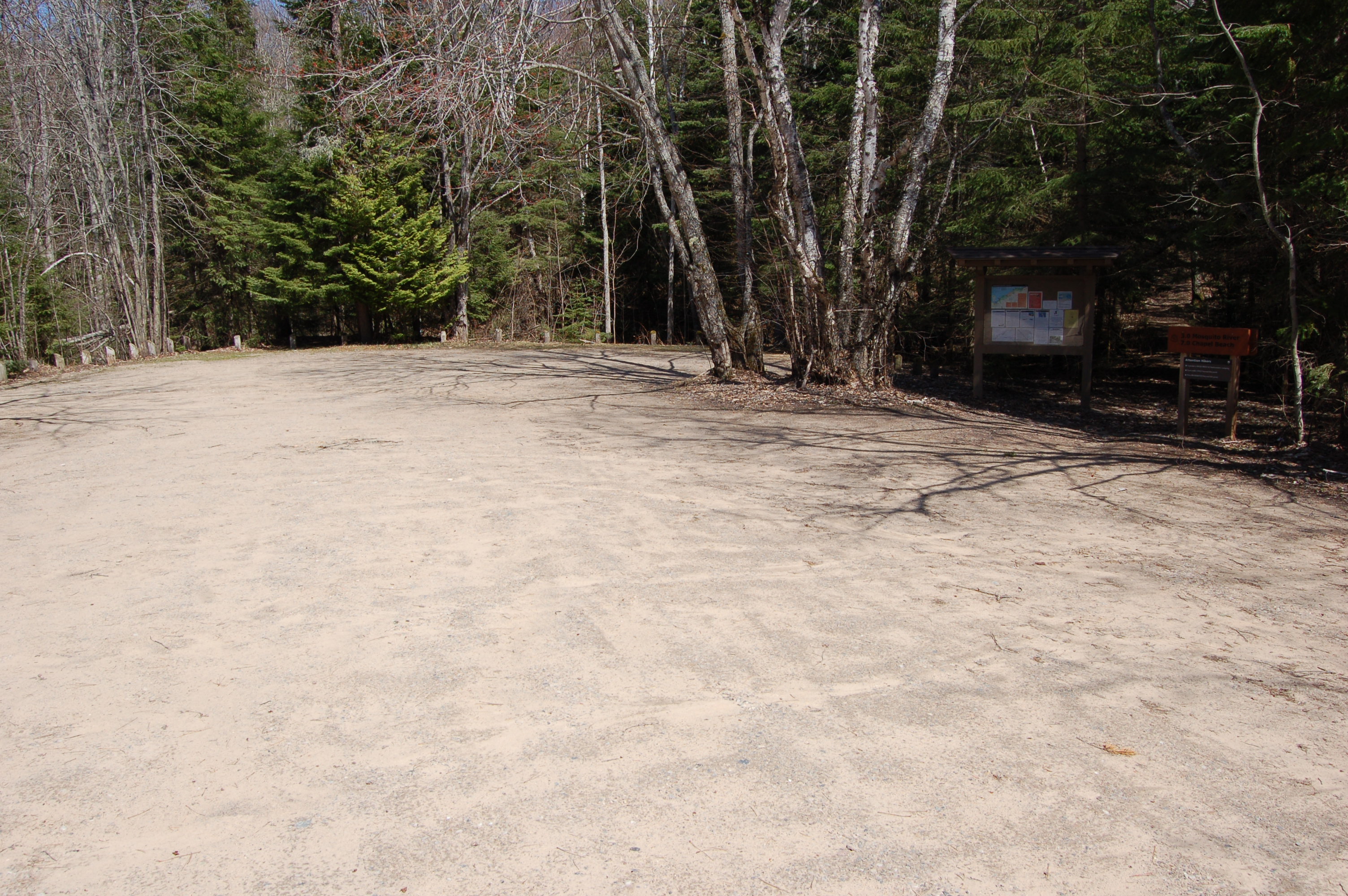
Directions: From Munising, head east on H-58 and follow it to Miners Castle Rd. Take the left there and pass the turn for Miners Falls to take the right turn to Miners Beach. The road to Miners Beach will reach a T intersection after about a mile, and instead of heading to the beach take a right turn towards the trailhead and parking area. From the parking area at the end of the road (shown above), take the trail that heads towards the Mosquito River (3 miles) and Chapel Beach (7 miles). A path on the opposite (Lake Superior) side of the parking lot leads to the beach and Elliot Falls.