
Michigan Trail Tuesday: Sand Point Marsh Trail, Pictured Rocks National Lakeshore
Michigan Trail Tuesdays is a new feature that will showcase a different trail or trail segment each week. The Mitten State is home to thousands of miles of trails, including the new Iron Belle Trail that runs from Detroit in the southeast to Ironwood in the western Upper Peninsula.
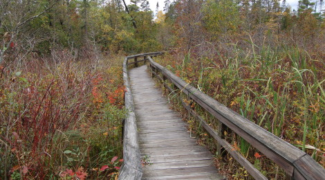
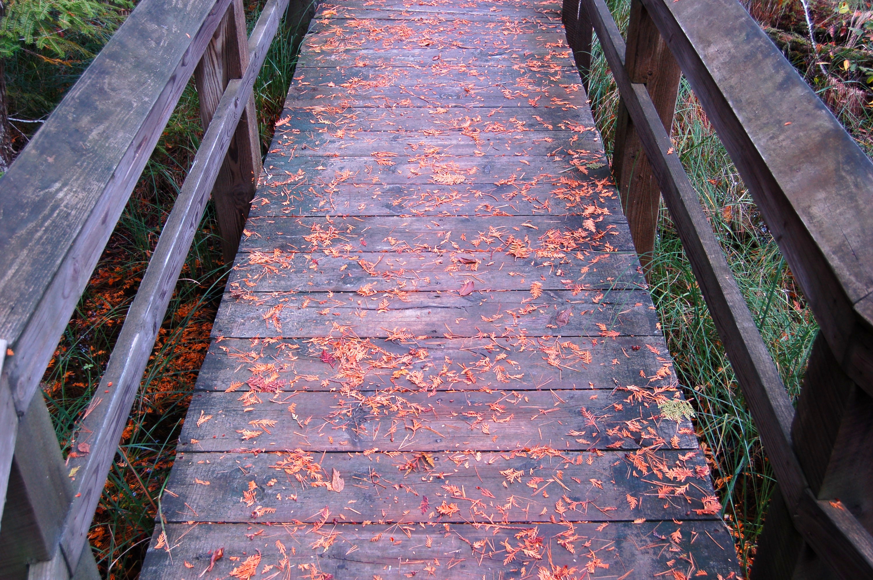
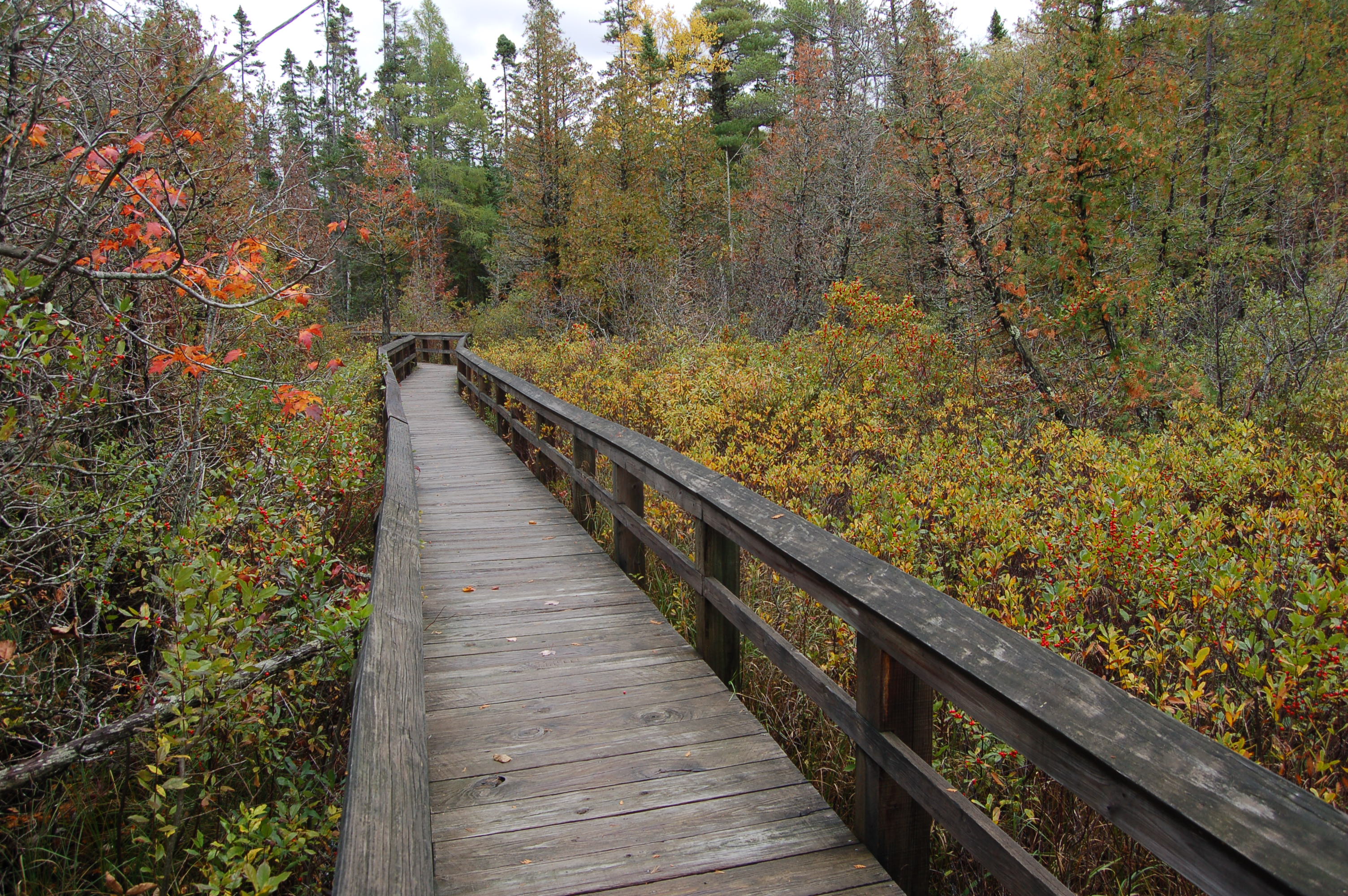
Many people who visit Pictured Rocks National Lakeshore are familiar with trails that lead to stunning waterfalls, rock formations, beaches, and breathtaking views along Lake Superior. Another trail worth checking out that highlights a different side of the lakeshore is the Sand Point Marsh Trail, a half-mile fully accessible boardwalk trail that starts just a few miles outside of the Munising city limits.

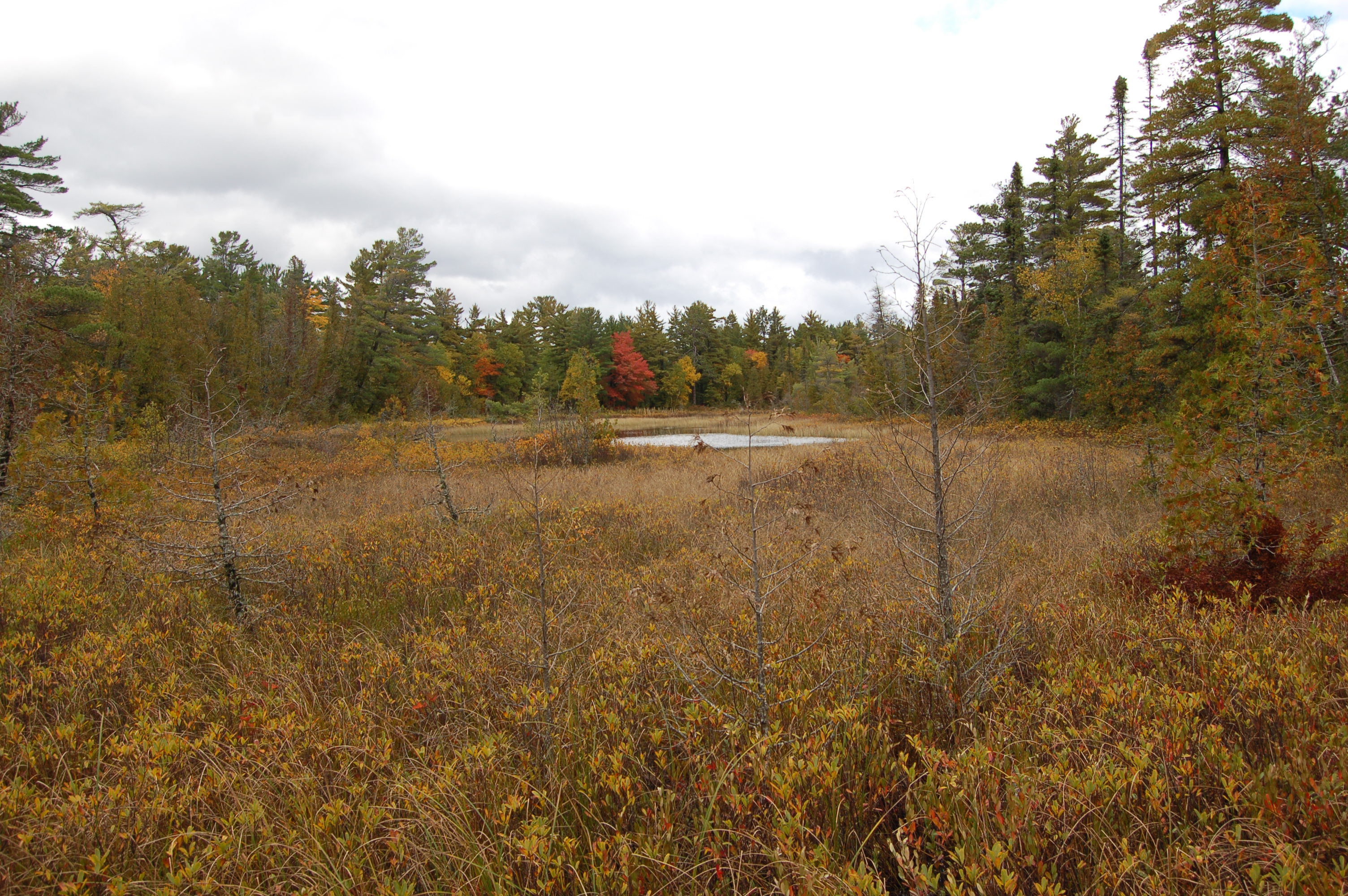
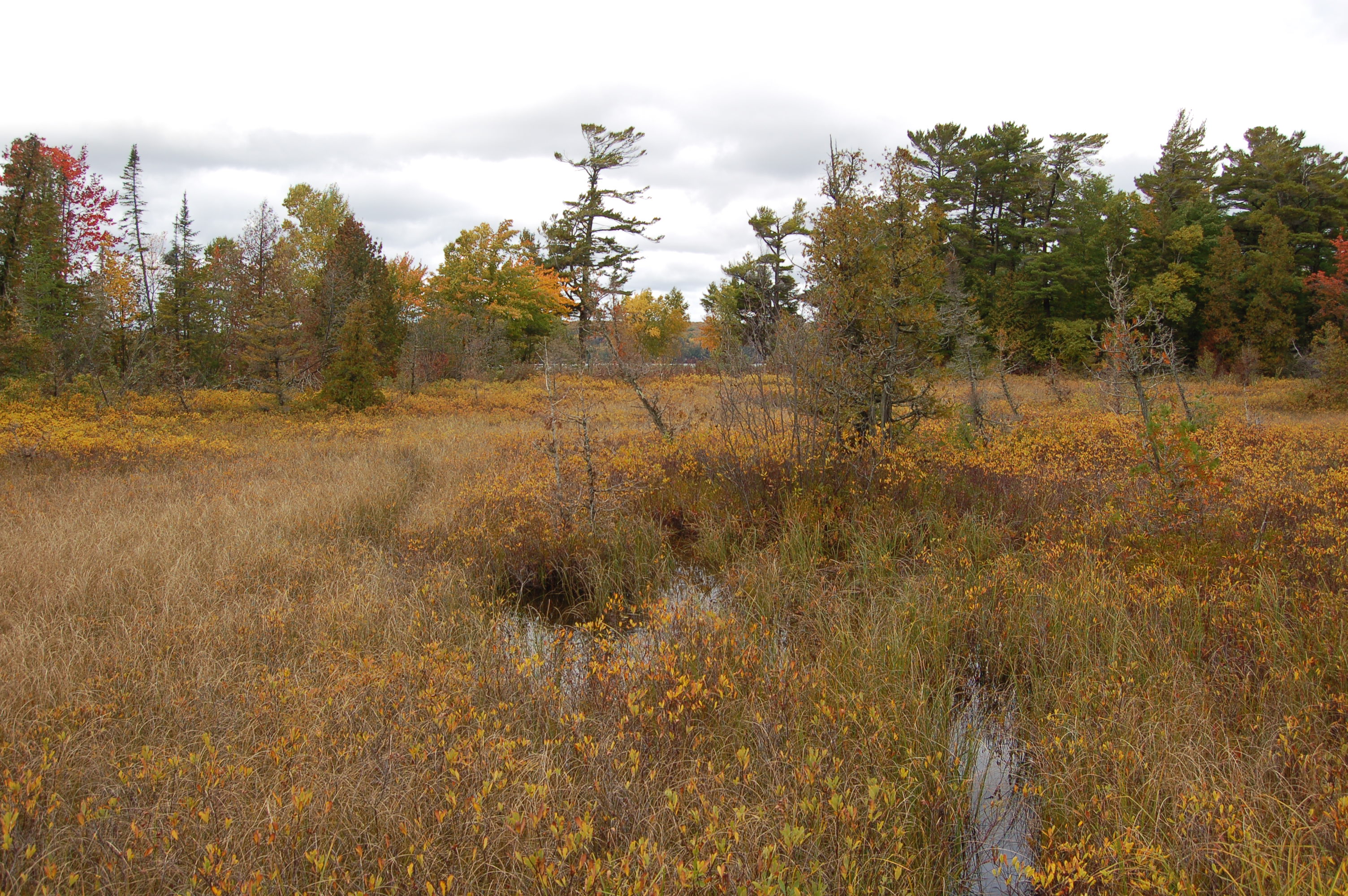
There are 16 points marked with interpretive signs (an online guide is available at https://www.nps.gov/piro/planyourvisit/upload/Sand-Point-Marsh-Trail.pdf), giving more details about the marsh’s wildlife, plants, seasonal changes, and even how and when the boardwalk was constructed. According to the National Park Service, “the trail leads you through a landform mosaic which changes from relatively low and dry forested ‘ridges’ to wet swales occupied by a variety of wetland plant associations.”


A few of the animals you might see while hiking the trail are red squirrels, white throat sparrows, wood frogs, pine martens, snowshoe hare, beavers, painted turtles, garter snakes, blue-winged teals, and common yellowthroats. The diverse plant life includes sedge, holly, leatherleaf, wild blueberries and trees including cedar, dogwood, white pine and red pine.
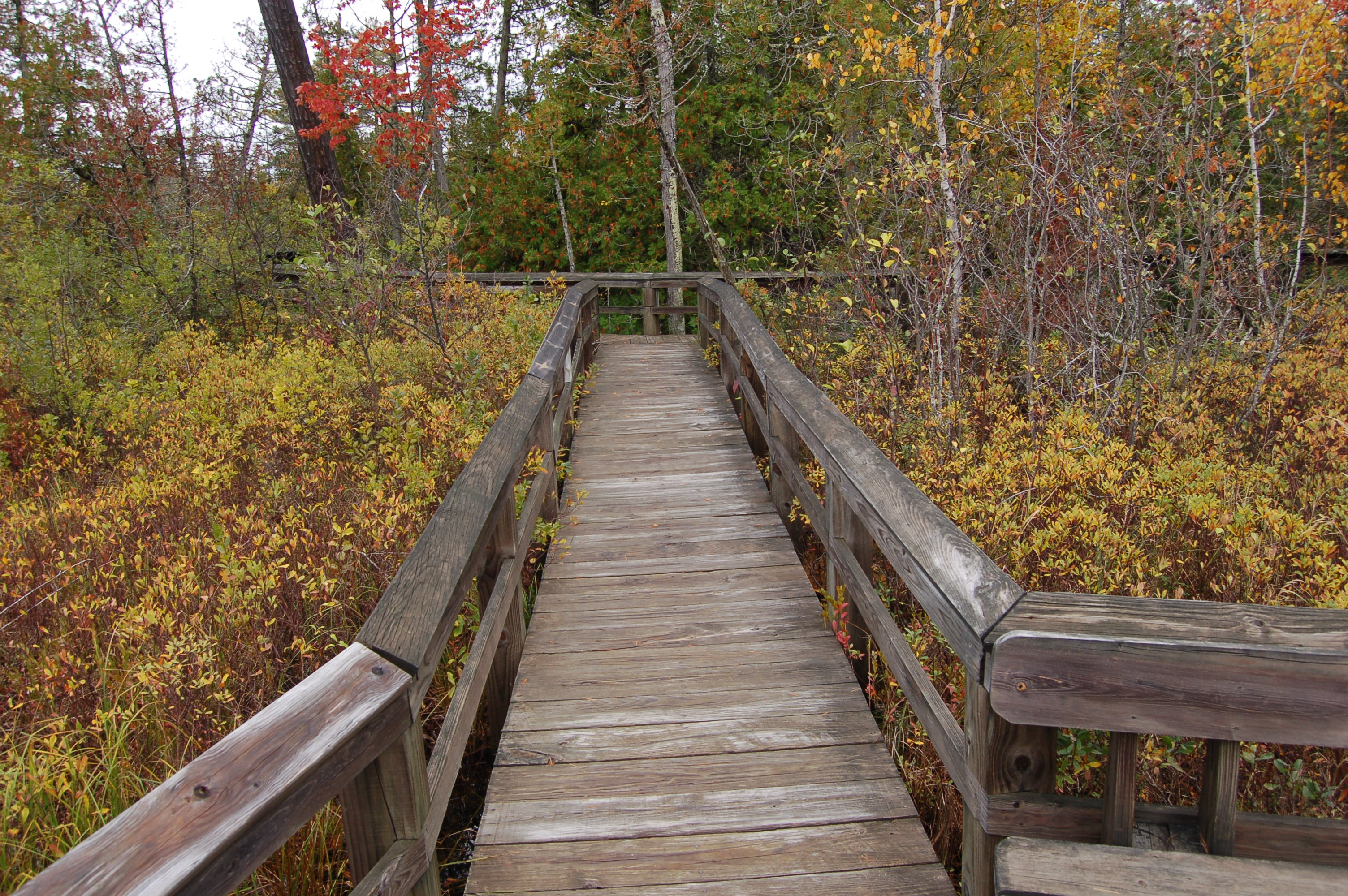
The Sand Point Marsh Trail was constructed in 1989 through a combined effort of Pictured Rocks National Lakeshore staff and members of the Youth Conservation Corps. It was designed with universal access as a focus, and for those with physical disabilities this is one of the park’s best trails. Plan to spend at least half an hour here to fully take in everything, then head across the road and check out the beach and view of Grand Island.
From Munising, head east on E. Munising Ave., then turn left on Washington St. following signs for Munising Falls and Sand Point. Continue on for another two miles as it becomes Sand Point Rd. and look for parking on both sides of the road once you reach Sand Point beach – the road dead ends at the PRNL Maritime Museum.