
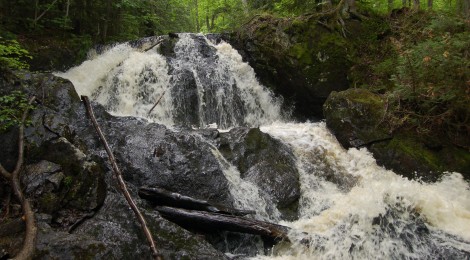
Wyandotte Falls – Houghton County
Twin Lakes State Park is a small but beautiful park just off of M-26 between Houghton and Ontonagon in Michigan’s Upper Peninsula. Its name references Lake Gerald and Lake Roland, with a 62 site campground found on the shore of Lake Roland. The Misery River drains these two lakes into Lake Superior, and on its way there it makes several stunning drops that make up Wyandotte Falls. This quiet, beautiful waterfall is located less than two miles from the state park, tucked in among cedar trees and moss-covered rocks near a golf course.
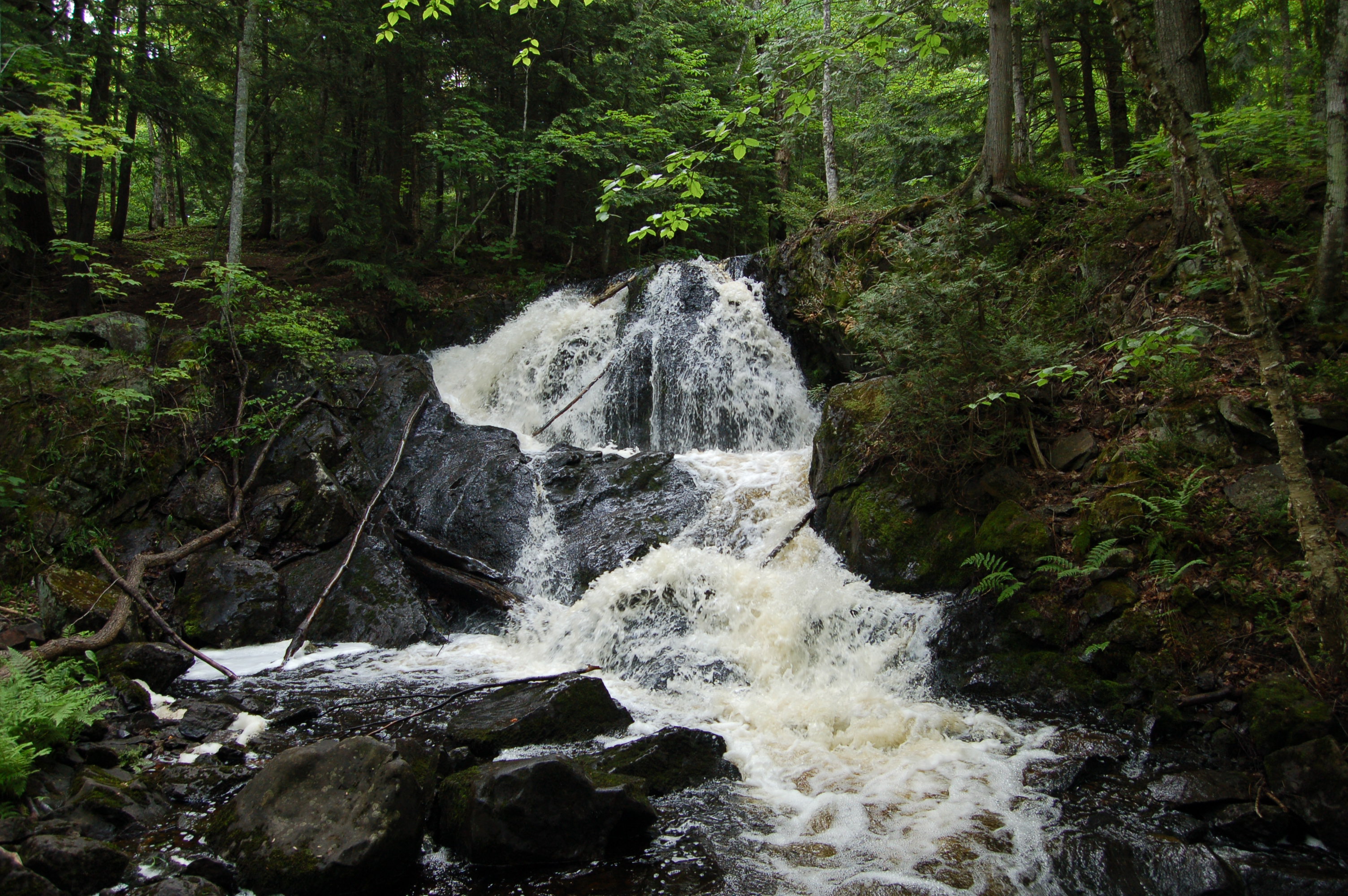
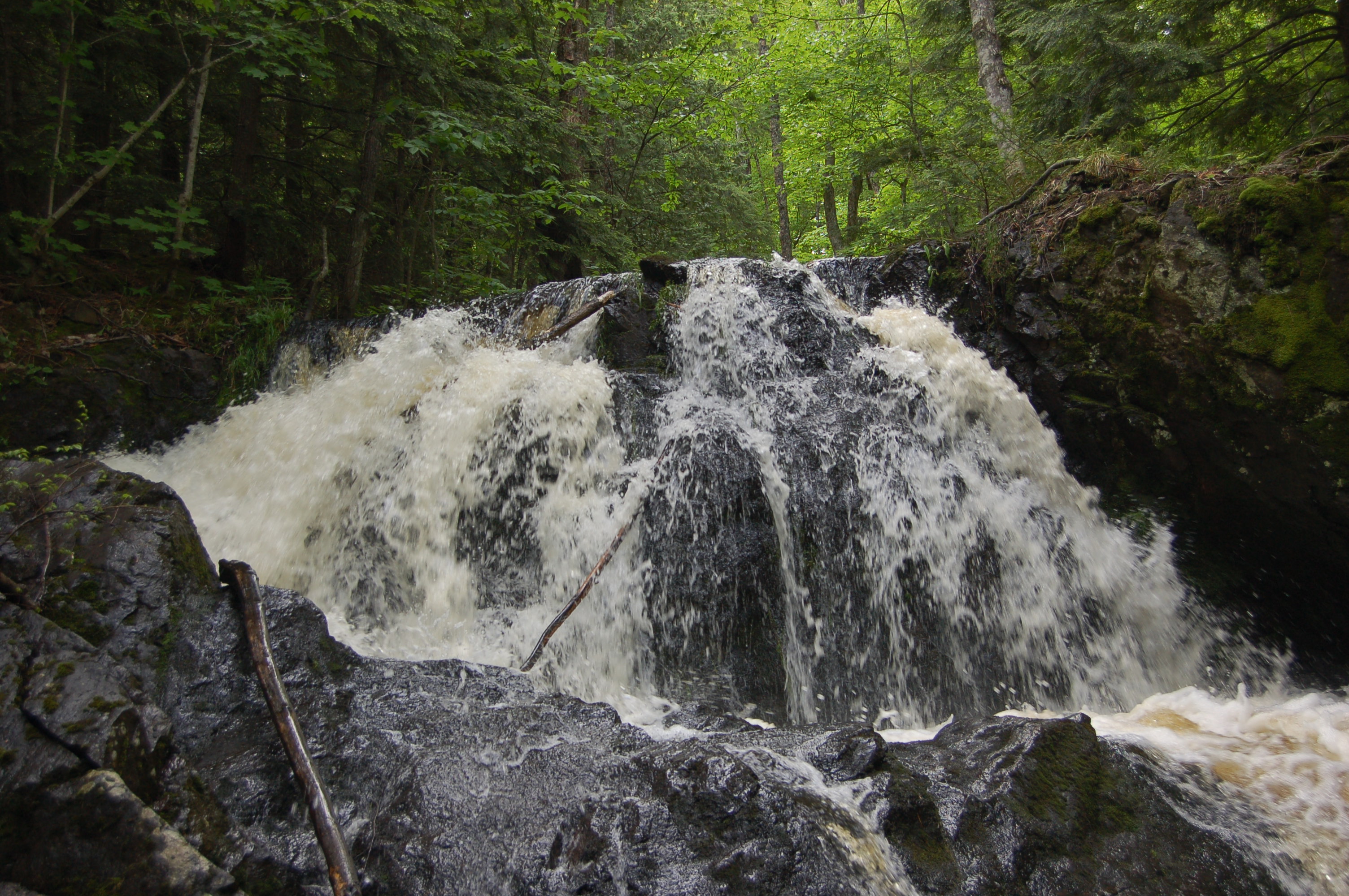
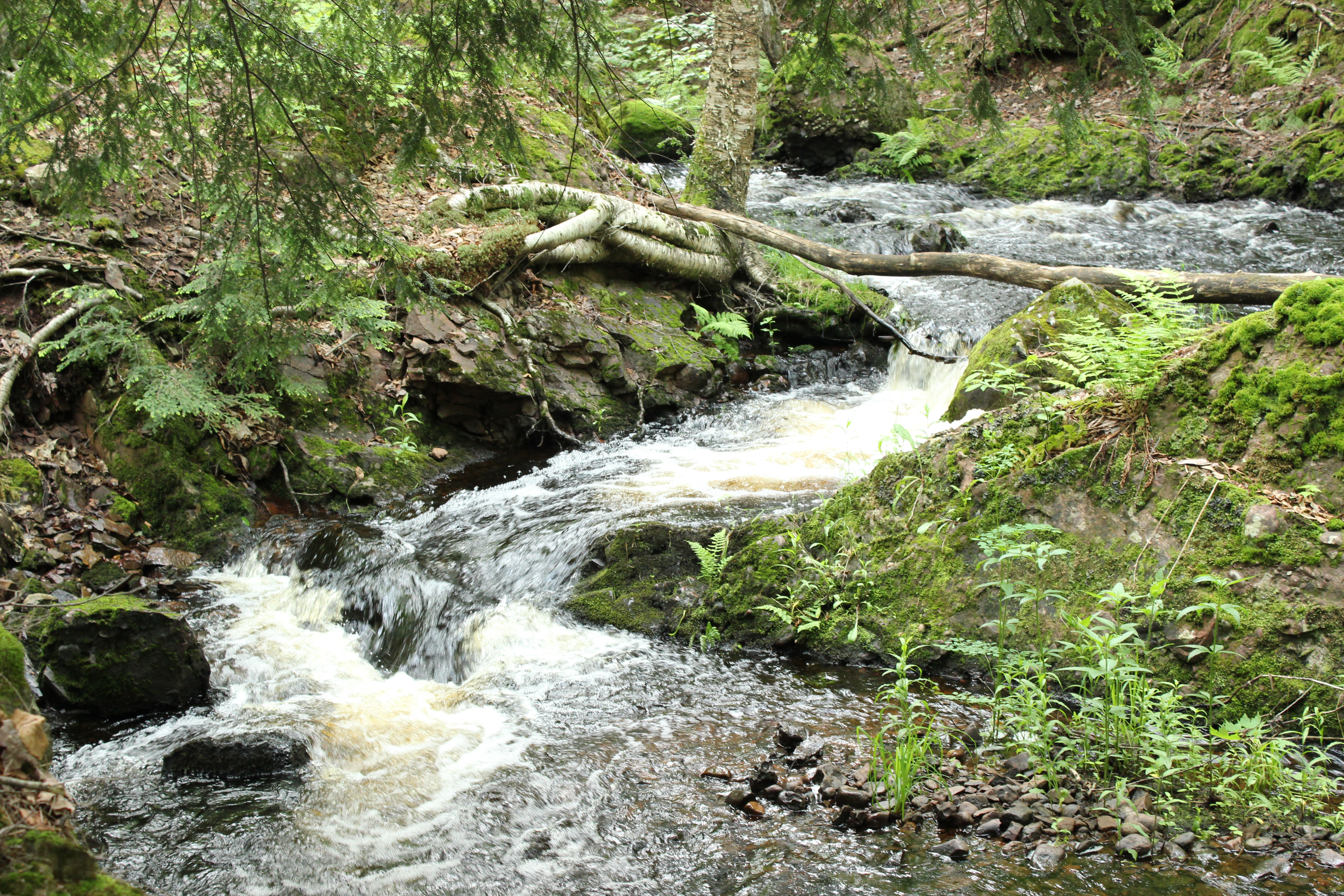
The river winds its way downhill, making numerous drops of a few feet or less before it makes a nearly 10 foot plunge over dark rocks. It briefly pools under this drop before it makes several more drops totaling another ten feet. All told this main section of the falls is about a 20-25 foot drop, with water flow varying a great deal seasonally.
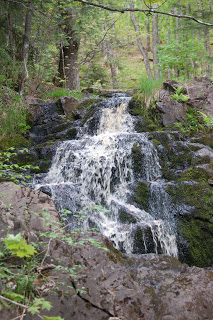
Our first visit was in the summer, and there was barely a trickle of water sliding over the rocks. We returned in the fall that year to find better flow (shown above this paragraph). Our most recent visit in June 2016 found the falls at almost spring run-off levels thanks to recent rains, which made for much better pictures and an all-around better experience.
The walk back to the falls is a short one, and depending on water levels you may hear the river from the parking area. The trail is soft and fairly wide, which makes some hilly sections easier to navigate. The surrounding trees shelter the area from any noise that could come from the golf course, and the moss-lined banks help frame this waterfall for an incredibly simple and peaceful setting. Given the swampy nature of the area, bugs can be quite thick here in spring and summer months, so plan accordingly.
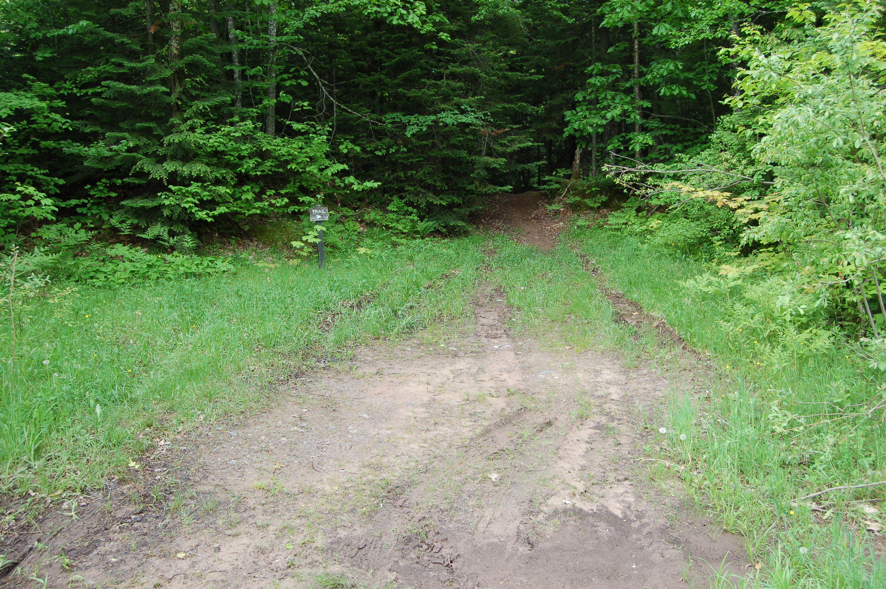
Directions: From M-26, about a mile south of Twin Lakes State Park, head west on Poyhonen Rd. (signs will note this is the turn for Wyandotte Hills Golf Club). Stay on this road for almost a mile, passing the course and a few cabins. There will be parking on either side of the road, and a fairly obvious clearing on the south side is where the trail begins (shown above). Check out the video below for a full look at the waterfall and some of the smaller drops above it.