Hungarian Falls – View Several Stunning Waterfalls in Houghton County
If you’re looking for a waterfall adventure that features some stunning drops in a somewhat secluded area in the Upper Peninsula, take the time to visit Hungarian Falls. Located near Tamarack City in Houghton County, there are as many as six significant drops here on Hungarian Creek (also called Dover Creek) depending on water levels. We’ve visited three times, with each trip bringing a different but excellent experience. An added bonus is that this is a very quiet and less-often visited area, we’ve rarely seen other visitors on our trips here – just evidence that it’s a popular spot for late-night drinking and bonfires.
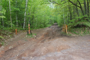
The short trail road to the “parking area” mentioned in the directions below has been impassable in a normal vehicle the last two times we have been there, so we’ve parked on the side of the road and hiked the .2 miles to get there. From the fork, we head to the right past a large pond until we reach Upper Hungarian Falls.
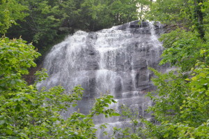
This waterfall is about 10 feet wide at the top and drops 15-20 feet. The water flow at the upper falls will be a good indicator of how good the rest of the falls will look, the photo above is from our visit in June of 2014.
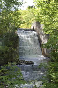
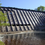
Re-tracing the trail from the upper falls past the pond and taking the first fork that cuts across the creek will bring a view of another waterfall that is formed by the creek flowing over a dam (in 3 visits, there has been water here 2/3 times).
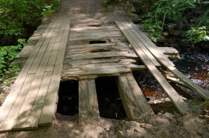
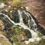
There is an old wooden bridge that crosses the creek and will lead to good views of the other falls, and as you can see it is in pretty rough shape. It has gotten a little worse each year we have visited, and it seems likely that it will not hold up much longer. Shortly after crossing the bridge, there will be a path into the woods on the left that follows the creek. The next drop isn’t very far, and you will be guided to it by the sound of rushing water. We usually refer to this as Unnamed Hungarian Falls.
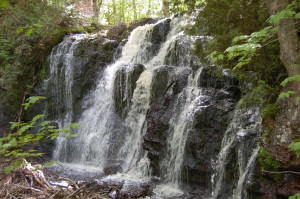
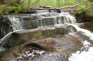
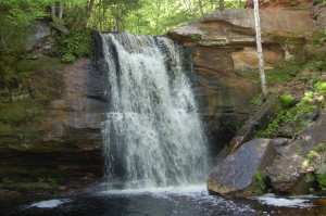
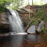
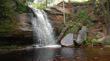
This drop is only 3-5 feet in total, but beautiful in its own way. The smooth rock ledges that the creek flows over have signs of pothole formations, showing just how powerful the water can be here during spring melt and runoff. Continuing down the same path will soon lead to my favorite drop in the area, a plunge over red rock into a calm pool:
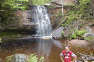
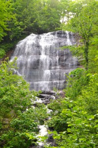
The red color of the rock walls also shows through in the pool below this waterfall, contrasting nicely with the green forest surroundings. It is possible to do some exploring here and get close to the base of the falls, with the pool being quite shallow. This is commonly referred to as Middle Hungarian Falls.
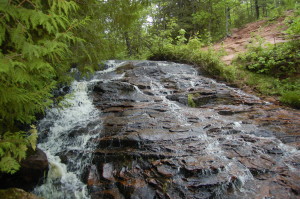
The final drop is somewhat harder to see in full, as the creek makes a complete plunge into the gorge below. The photo above is a side view of the upper part of that drop and while we’ve ventured further along the cliff edge, it is quite scary at times and trees block a full view or good photos. Our recent attempt to see these falls by starting from the gorge below was unsuccessful due to fallen trees blocking the path. I have seen pictures and video from below, and this might just be the most stunning drop on the creek. Hey, at least there’s a reason to keep going back, right?
Edit 12/31/2017: In June 2017 we managed to finally make it to Lower Hungarian Falls. We started our hike off of the first trail road (there’s an ATV bridge that crosses the gorge) and followed a faint path to the falls. There were many downed trees and due to recent rain it was muddy and somewhat dangerous, but we persevered by following the creek until we reached the stunning drop (well worth the ankle sprain suffered along the way).
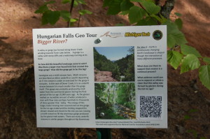
As you can see in the video and photos above, there is a great deal of variation in the size and makeup of each of these waterfalls. Being able to reach them all with less than a mile of hiking is truly a special experience, and one that we would recommend to all waterfall enthusiasts. An encouraging sign on our last visit was that Michigan Tech seems to have taken an interest in the area recently, placing several informational signs like the one below.
Directions: From M-26 west of Lake Linden in Tamarack City, turn north onto 6th Street and go 2 blocks to a fork. Drive uphill on the left fork to the third trail road on the left. If road conditions allow, turn left and go .2 miles to a fork. If not, park on the side of the road and proceed on foot. The right fork goes to the Upper Falls, the left fork to the lower falls. It is about a 15-20 minutes walk to the falls.

