
Manabezho Falls – Presque Isle River, Porcupine Mountains Wilderness State Park
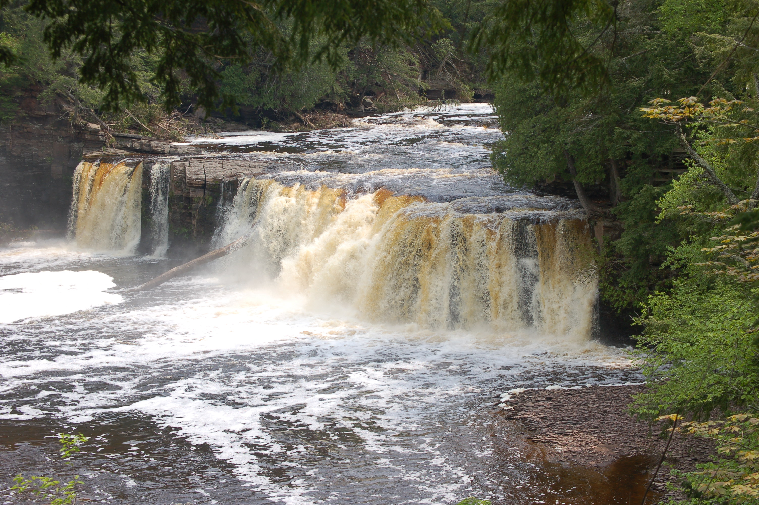
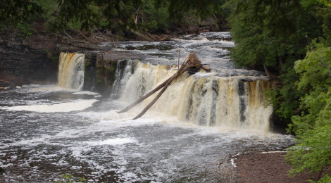
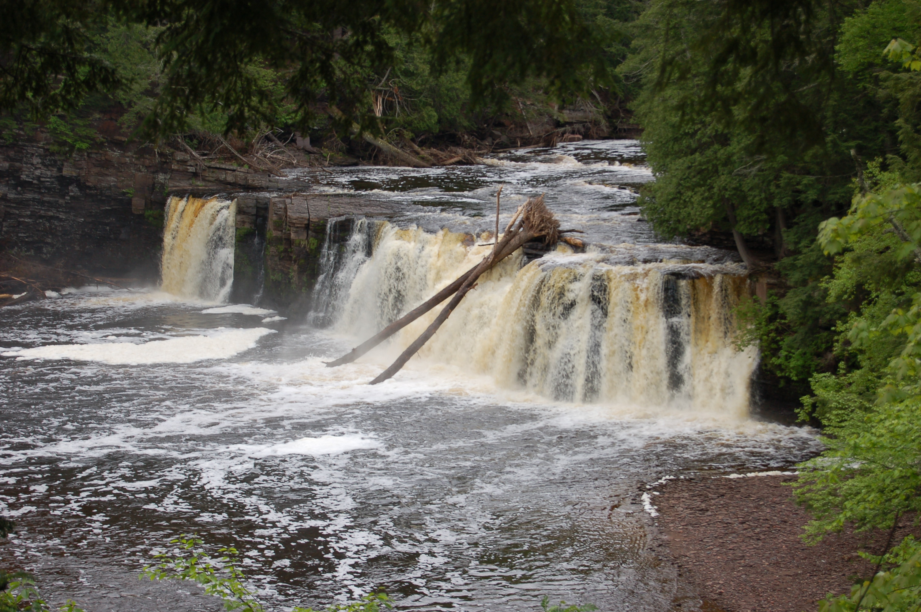
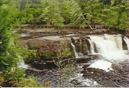
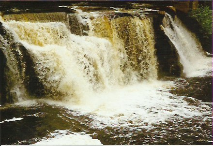
On the far west end of Porcupine Mountains Wilderness State Park in Gogebic County, the Presque Isle River makes several significant drops on its way to Lake Superior. Three impressive drops make up a stunning loop hike that starts near the campground. The largest drop is Manabezho Falls, which is where the river makes a 25-foot drop.
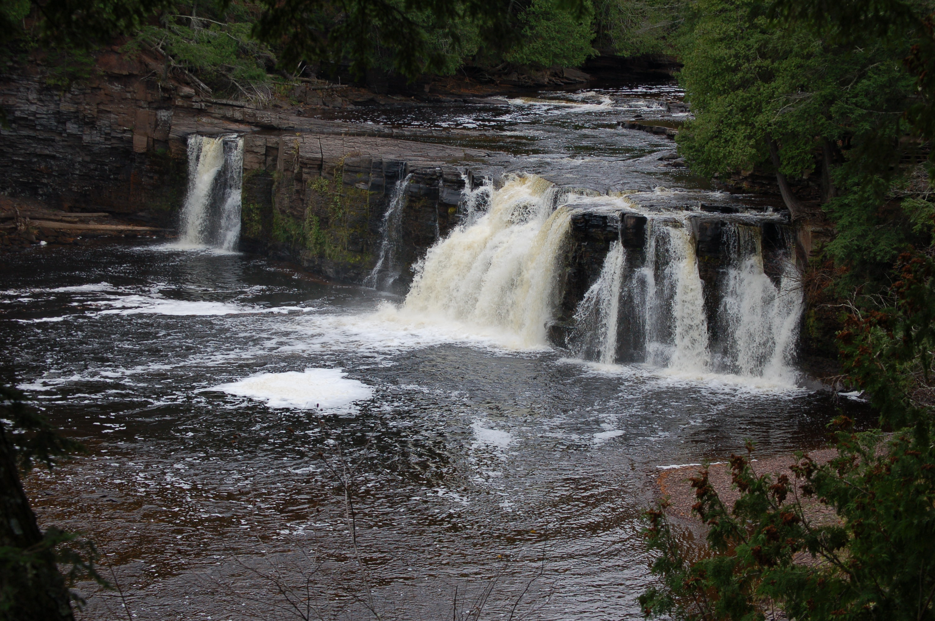
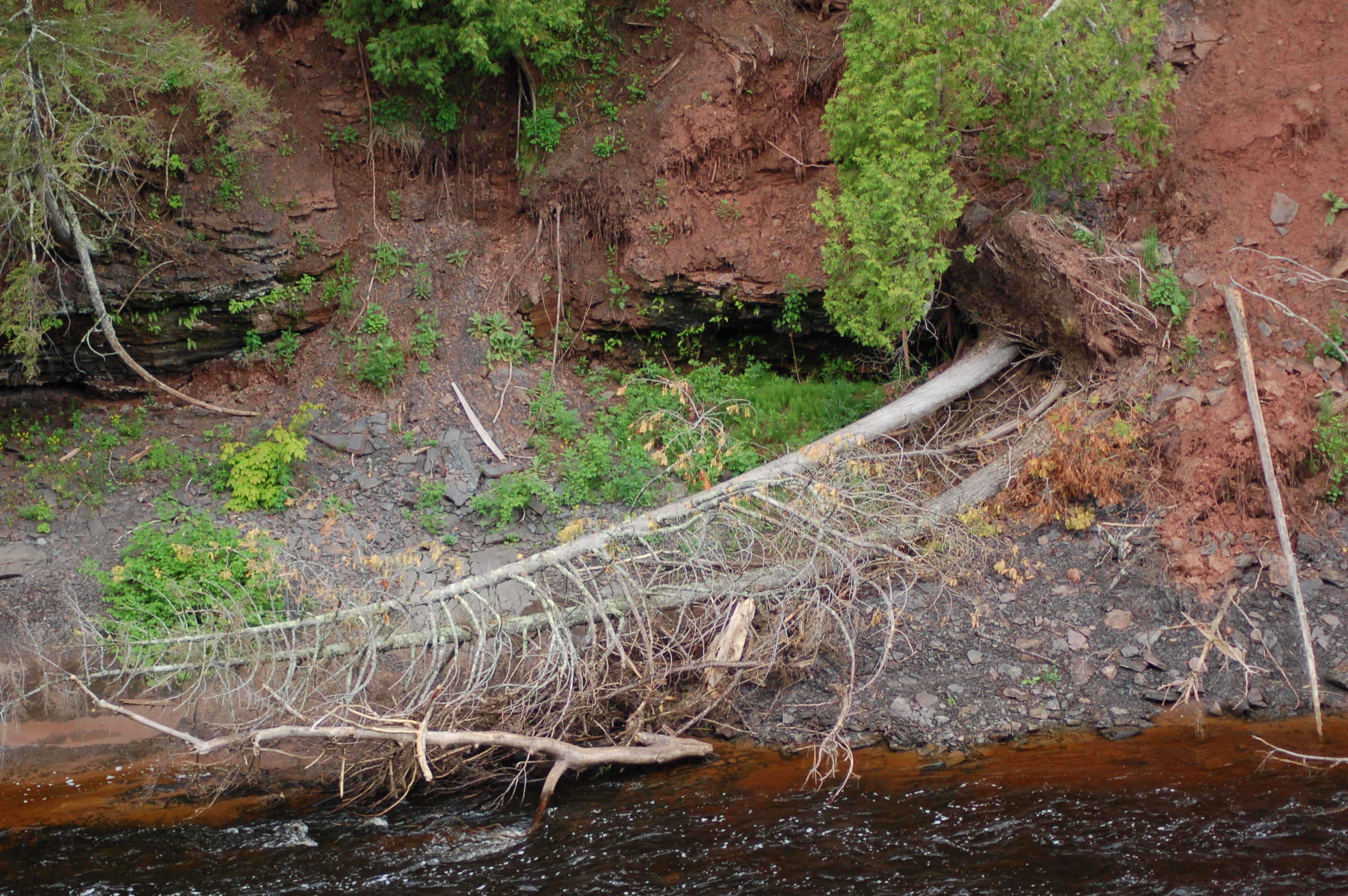
The river is nearly 150 feet wide here, and surrounded by forest on either side. The smaller drops of Manido Falls are directly above Manabezho Falls and Nawadha Falls is just a quarter mile south. From the parking area near the campground, a footpath leads into the woods before a wooden bridge leads across a small gorge. The footpath resumes on the other side and moves through a clearing before meeting the river. From there, signs direct to Manabezho Falls (left) and Manido Falls (right). Taking the left for for Manabezho Falls requires trekking down some stairs to reach an observation deck with an amazing view, as well as a plaque detailing the Ojibway spirit that the falls get their name from. In the spring the river flows strong, and frequently pushes entire trees over the falls:
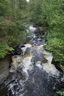
For a longer hike and a different view, follow the path along the river towards Lake Superior. There will be a bridge crossing the river with a few “pothole” falls below:
This hike then continues onto an island in the river before crossing over to the other side and starting the hike along the bank back toward Manabezho Falls. There is no observation deck on this side, so use caution but enjoy this scenic view:
Below I have included a video from one of our visits to this stunning waterfall.
Directions: From M-28 north of Wakefield, head north on CR-519 and follow it about 18 miles, crossing South Boundary Rd. and entering the park. Follow sings to the parking lot for the falls and hiking trails, off to the right past the day-hike lot (campground is off to the left). Trail begins on the east end of the parking lot and is well-signed and easy to follow.
Be prepared for: bugs, bugs, bugs. Possible wet terrain, lots of steps and some steep sections. Cliff-side hiking if you make the complete loop on both sides.