
Sandstone Falls – Black River Scenic Byway, Gogebic County

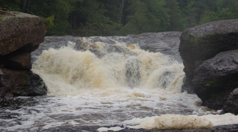
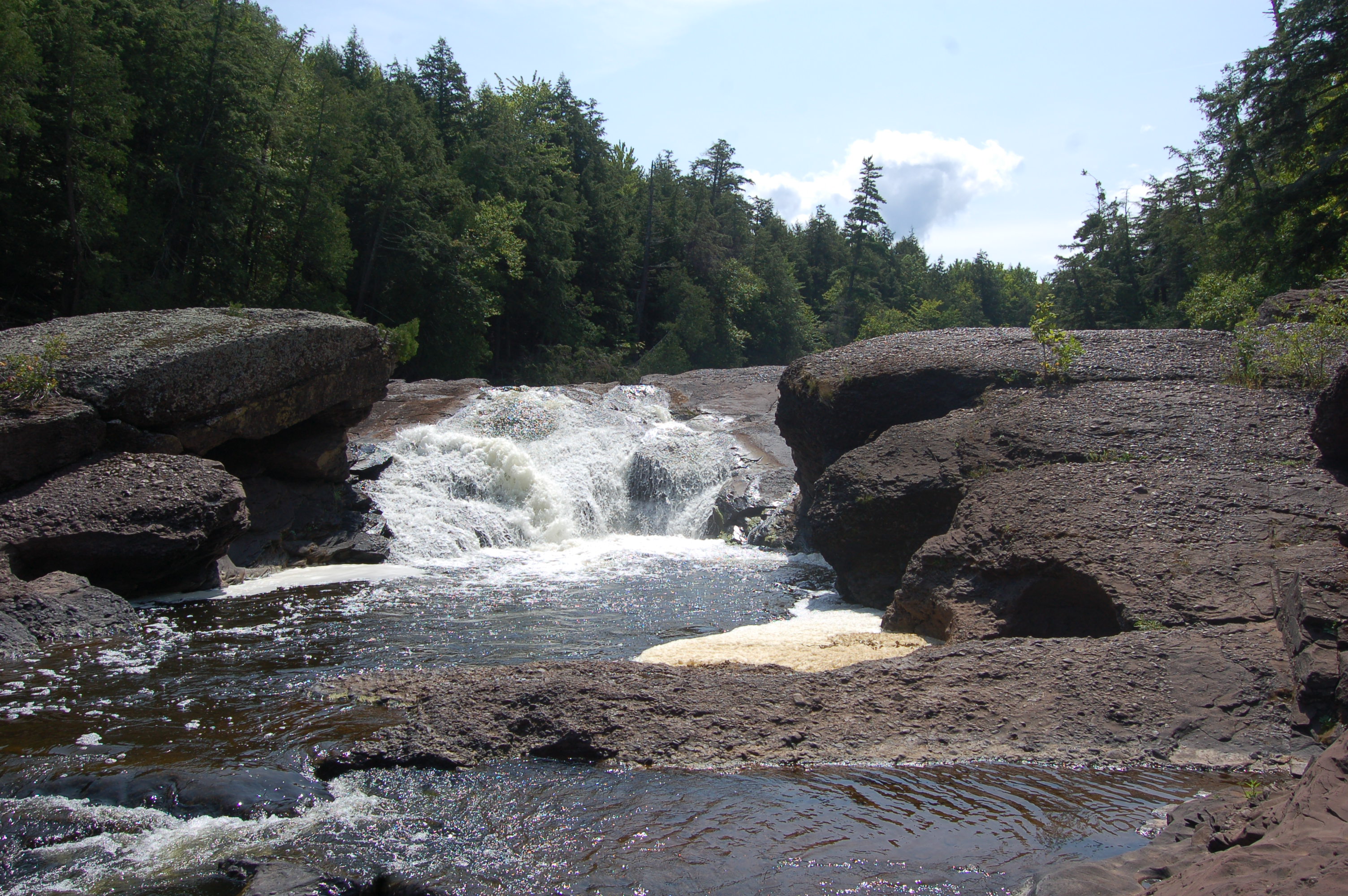
One of the most beautiful stretches of road in the entire Upper Peninsula can be found in Gogebic County, where CR-513 (Black River Rd.) parallels the Black River for 14 miles before it ends at Lake Superior. Five major waterfalls help make a brief stretch of this road especially memorable, rivaling the river scenery of any other location in the state. Sandstone Falls is the second-to-last drop before the river mouth, and at 25 feet it is also one of the tallest.
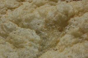
At 1/4 mile, the hike to Sandstone Falls is one of the shortest on the Black River, and it is also one of the least strenuous. There’s a lot of room to move around and explore here depending on water levels, as the river cuts through sandstone rock and creates pools of foam below the falls.
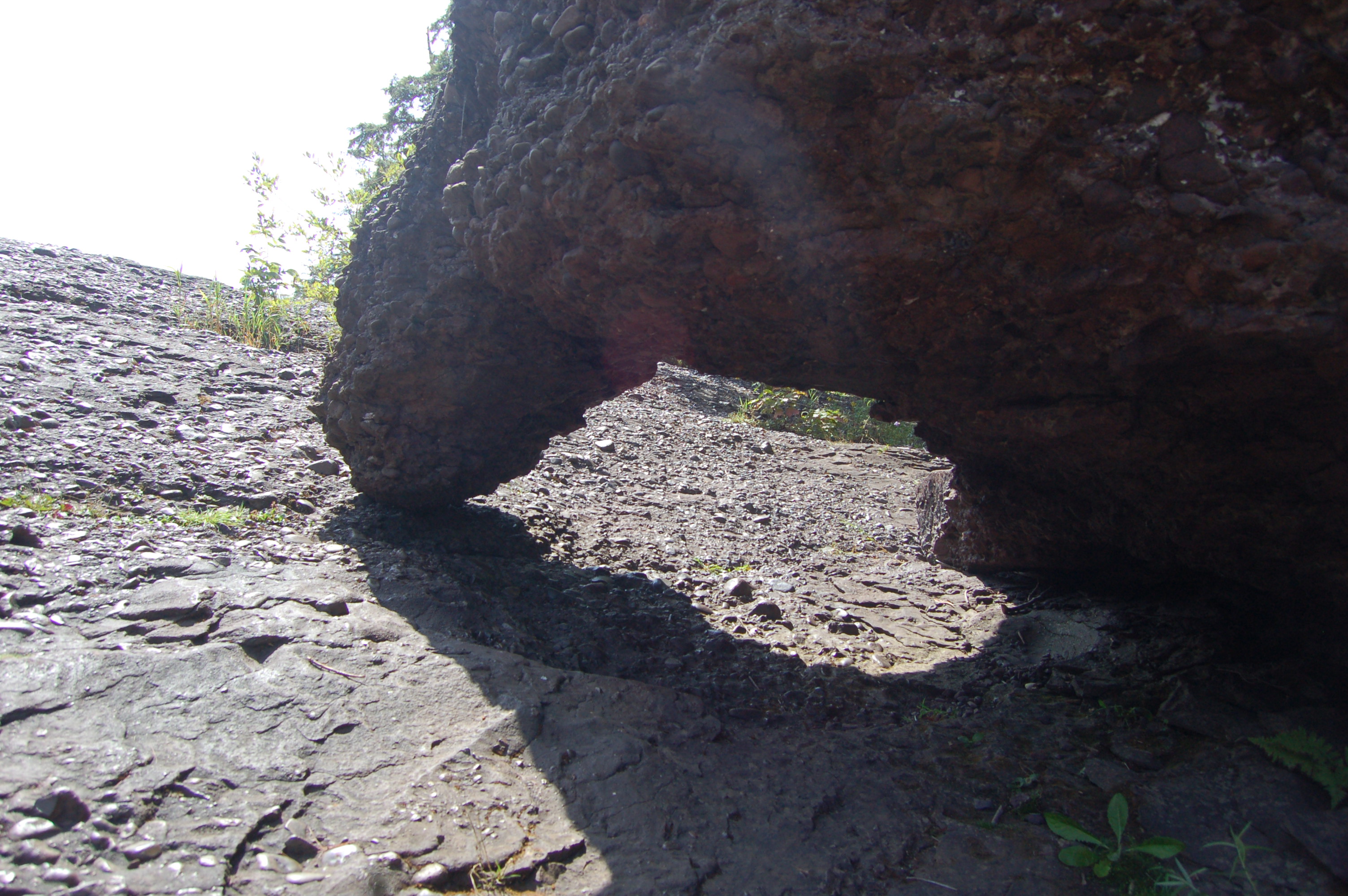
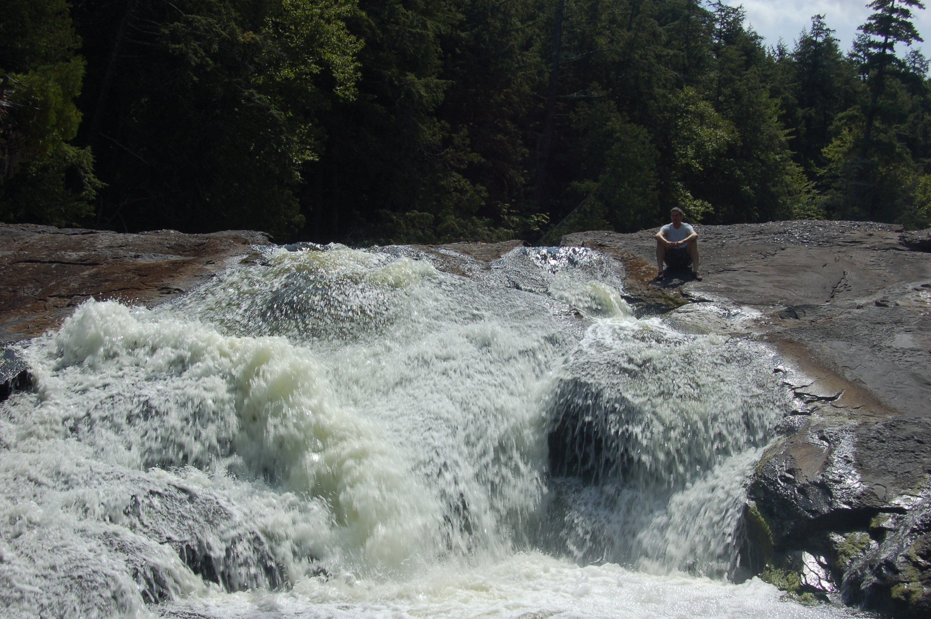
One of the more interesting things to see here is a large rock with an arch that you can crawl under – I’ve always referred to this as the “elephant rock” from seeing a trunk arched down, but I’m sure each visitor sees something a bit different. At low water levels you can get right up next to the falls (with caution), while at high water levels you’ll have to take a more distant view. We’ve seen good flow here in visits in June and okay to moderate flow in August and October visits.
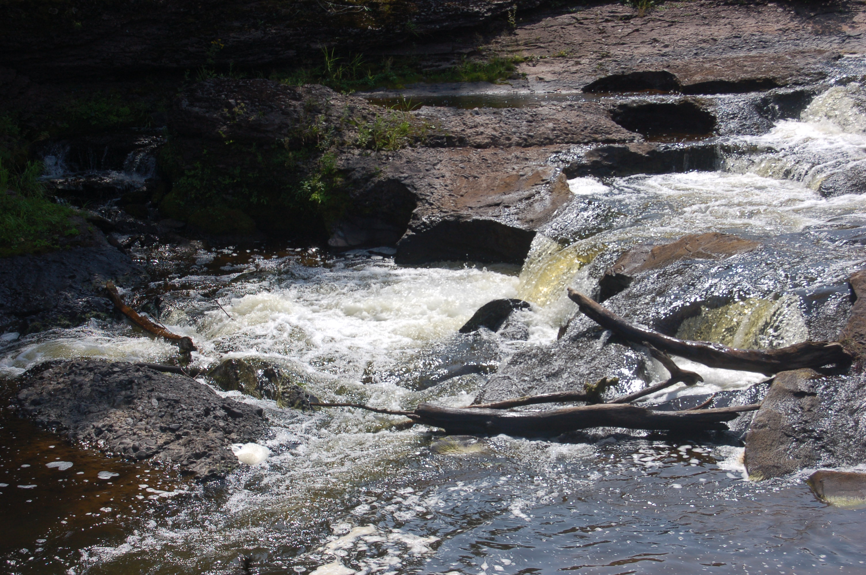
There is a smaller set of falls (around five feet in total drop) just below the main drop, with many spots showing pothole formations and evidence of just how strong this river can be in springtime or after a heavy rain. Each of the five major waterfalls on the Black River has a unique characteristic that separates it from the others, for Sandstone Falls it is the rushing water that barrels through an opening it has made through years of eroding the sandstone rock.
Directions: From the intersection of US-2 and Moore St. in downtown Bessemer, head north on Moore and follow it as it winds and becomes Black River Rd./CR-513. This road will lead to all five of the scenic waterfalls, as well as Copper Peak ski flying hill. The road dead ends at Lake Superior. An alternative route is to take Powderhorn Rd. north from its intersection with US-2, and follow it past the ski resort as it winds its way into the woods (as CR-511) before eventually intersecting with CR-513. Take a left there and head north.
Be prepared for: easy to moderate hiking, wet terrain, bugs, use caution near the river