
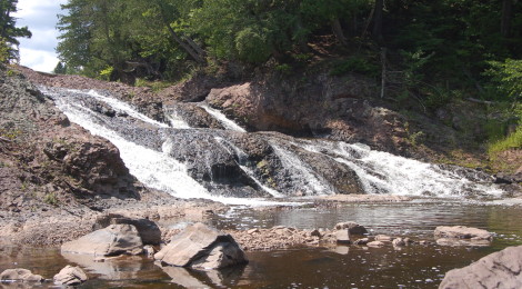
Great Conglomerate Falls – Black River Scenic Byway, Gogebic County

We’ve spent the last four days looking at the spectacular waterfalls on the Black River in Gogebic County, and today our journey on the Black River Scenic Byway comes to a close as we profile Great Conglomerate Falls (sometimes referred to as just Conglomerate Falls).

If you decide to start hiking to these falls in the order they are reached from the south, Great Conglomerate Falls will be your first stop. At 3/4 mile it is also the longest hike, but provides many chances for up-close views once you reach the river.
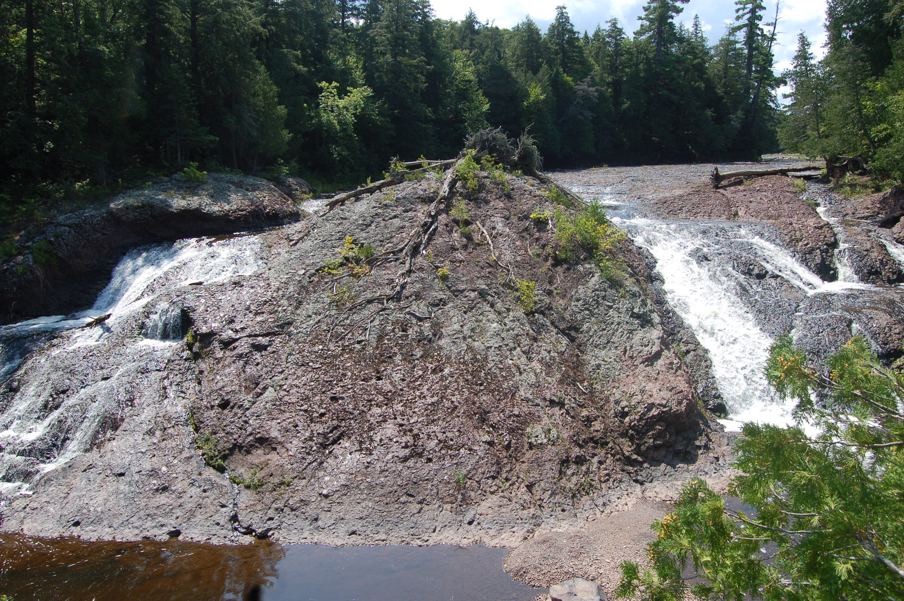
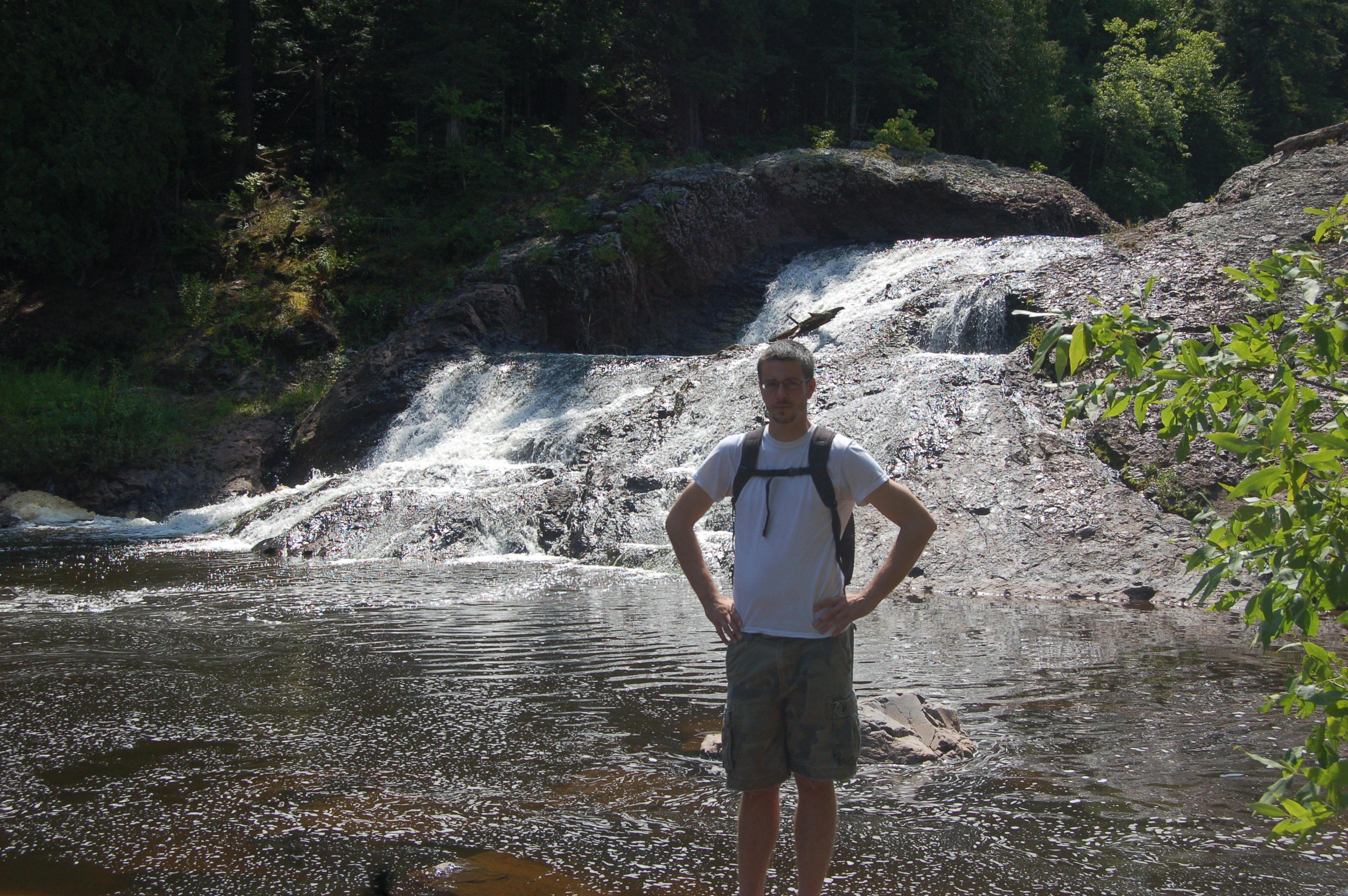
This 20-foot waterfall gets its name from the large piece of conglomerate rock that splits the falls in two. It’s hard to get a full view of the whole thing from the viewing platform due to trees in the area, but we found some decent views by climbing around off to the downstream side of the platform. This is probably the one waterfall of the five where water flow makes a huge difference, and we have yet to see it with a ton of flow on both sides. Below are views of the right side and left side (the one with me in front) to give a better idea of what the whole area has to offer.
Directions: From the intersection of US-2 and Moore St. in downtown Bessemer, head north on Moore and follow it as it winds and becomes Black River Rd./CR-513. This road will lead to all five of the scenic waterfalls, as well as Copper Peak ski flying hill. The road dead ends at Lake Superior. An alternative route is to take Powderhorn Rd. north from its intersection with US-2, and follow it past the ski resort as it winds its way into the woods (as CR-511) before eventually intersecting with CR-513. Take a left there and head north.
Be prepared for: a moderately strenuous hike, possible wet conditions, bugs