
Rainbow Falls – Black River Scenic Byway, Gogebic County
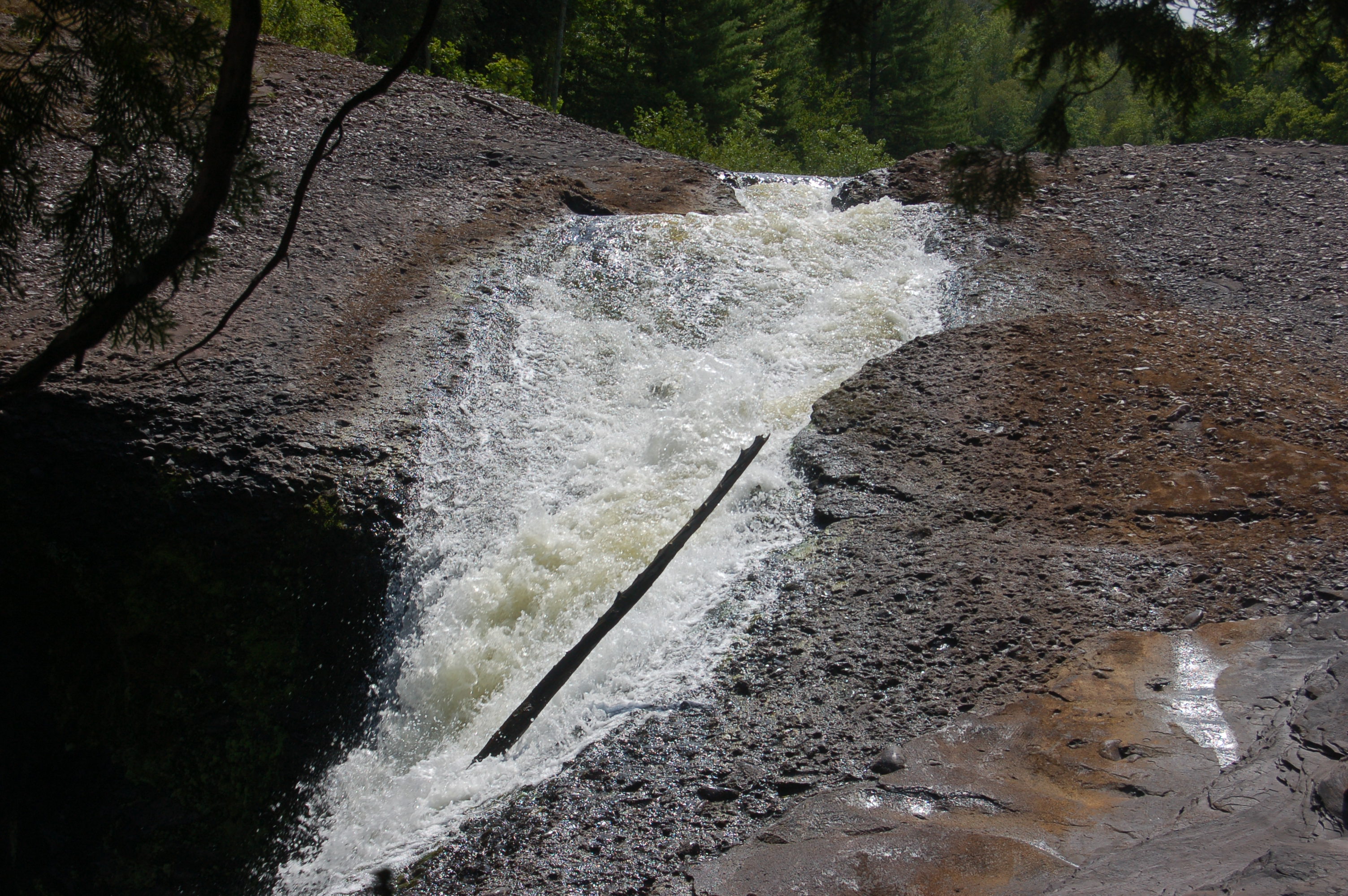
So far we’ve looked at three of the waterfalls on the gorgeous Black River in the Upper Peninsula’s Gogebic County – Sandstone Falls, Gorge Falls and Potawatomi Falls. The final drop of the river before it reaches Lake Superior is also the steepest, as it plunges 45 feet at Rainbow Falls.
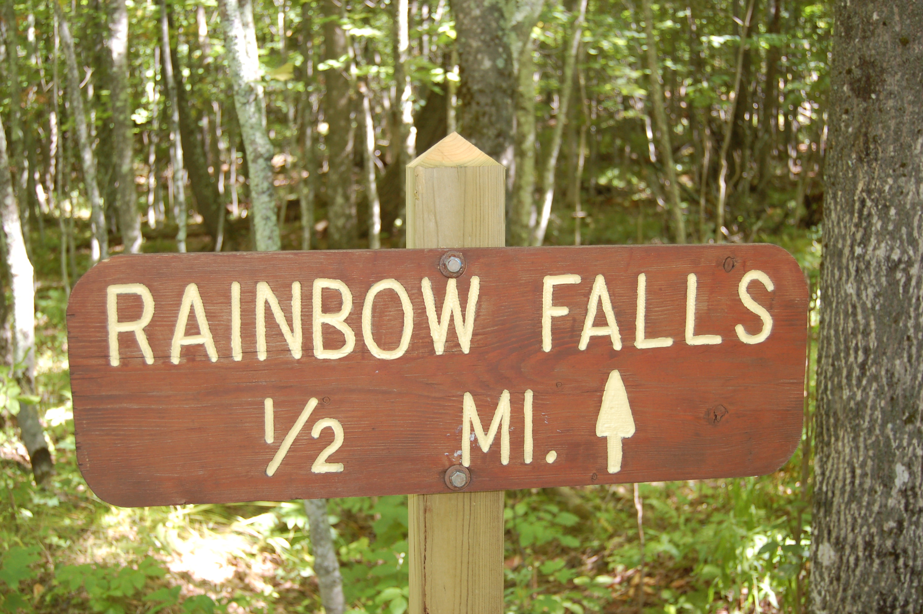
The trail to Rainbow Falls is by far the most strenuous of the five, as it clocks in at a half mile long and features 200 steps to the river and viewing platform. The hike is completely worth it, however, for the views of this amazing waterfall.

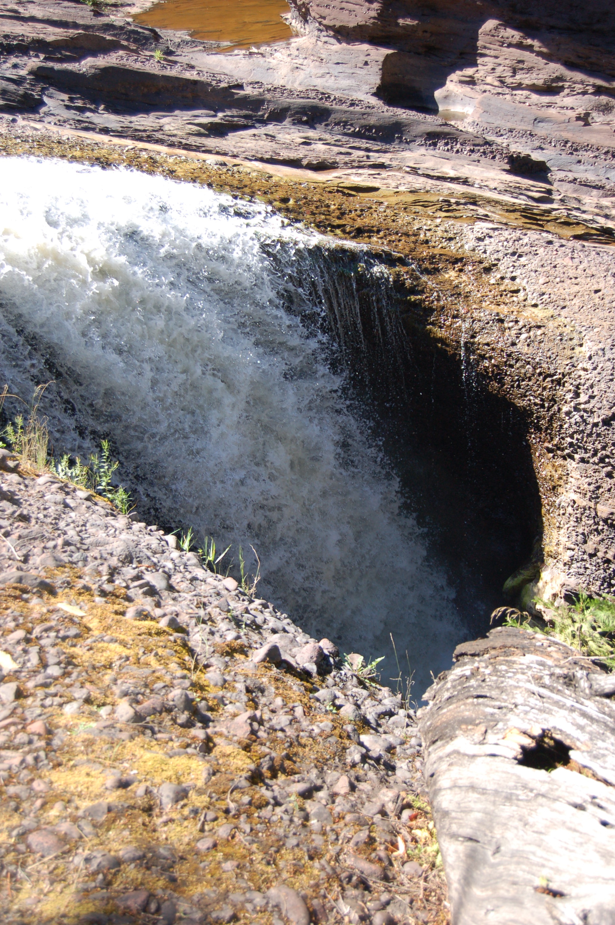
The only downside to the viewing platform at Rainbow Falls is that it doesn’t reach out far enough to provide a full view of the falls. A rock face hides part of this cascade, but there a few options if you’d like to see the whole thing. If water levels are low it may be possible to cross the river above the falls by wading across or jumping a small gap (use extreme caution). The other option involves following Black River Rd. to its end and taking the trail that crosses the river on a suspension bridge and then heads up a mile on the opposite bank.

UPDATE: In June 2016 we hike to Rainbow Falls from the opposite side of the river, beginning at the harbor, crossing the suspension bridge, then continuing for another 3/4 mile. The view from this side was much better, and thanks to recent rainfall we came home with some truly spectacular photos!

The views downriver into the gorge are also something to behold, and with a little bit of care it is possible to get next to the river’s edge here. We saw a father and son fishing below the falls on our most recent visit, which made for the great picture below.

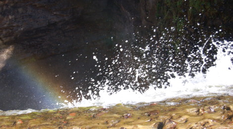
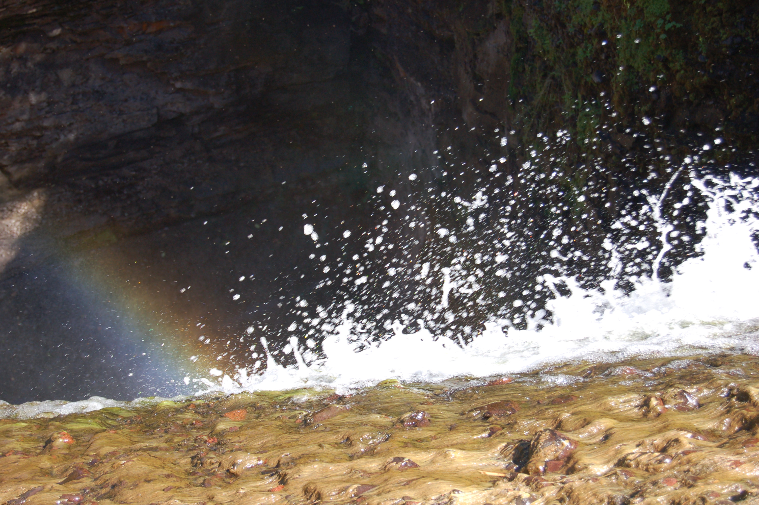
My first visit to the falls found water levels low, which allowed for some exploring in the area above the waterfall. It was quickly evident why these falls got their name:
Directions: From the intersection of US-2 and Moore St. in downtown Bessemer, head north on Moore and follow it as it winds and becomes Black River Rd./CR-513. This road will lead to all five of the scenic waterfalls, as well as Copper Peak ski flying hill. The road dead ends at Lake Superior. An alternative route is to take Powderhorn Rd. north from its intersection with US-2, and follow it past the ski resort as it winds its way into the woods (as CR-511) before eventually intersecting with CR-513. Take a left there and head north.
Be prepared for: a steep, strenuous hike with lots of steps. Use extreme caution exploring above or below the falls.