
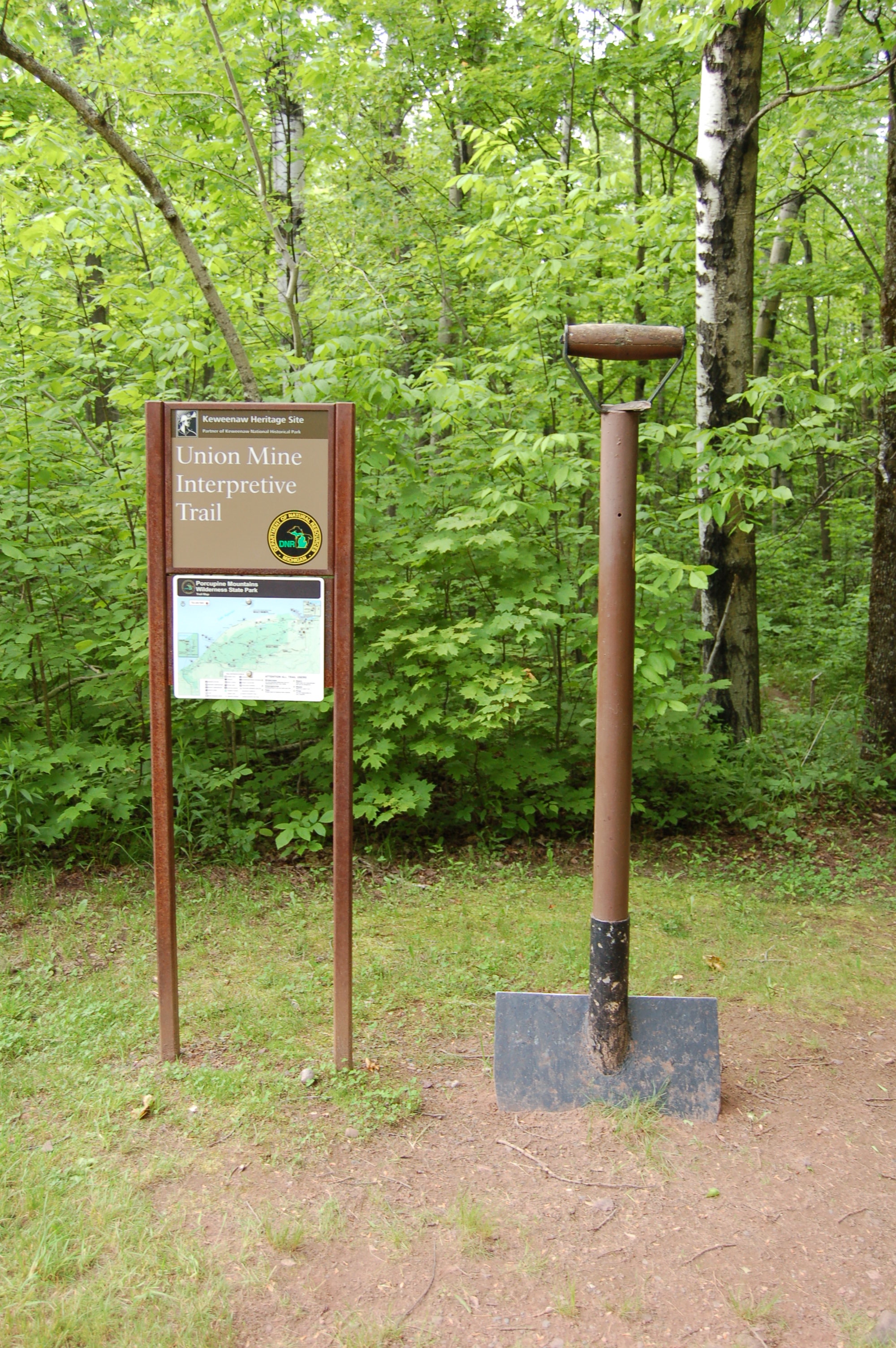
Michigan Trail Tuesday: Union Mine Trail, Porcupine Mountains Wilderness State Park
Michigan Trail Tuesdays is a new feature that will showcase a different trail or trail segment each week. The Mitten State is home to thousands of miles of trails, including the new Iron Belle Trail that runs from Detroit in the southeast to Ironwood in the western Upper Peninsula.
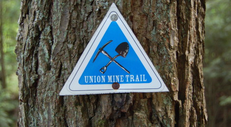
Michigan’s Porcupine Mountains Wilderness State Park is home to more than 80 miles of hiking trails that visit Lake Superior, backcountry waterfalls, mine ruins, river, lakes, streams, and mountains. The Union Mine Trail is a one-mile loop trail that makes for a perfect introductory hike for visitors to the park.
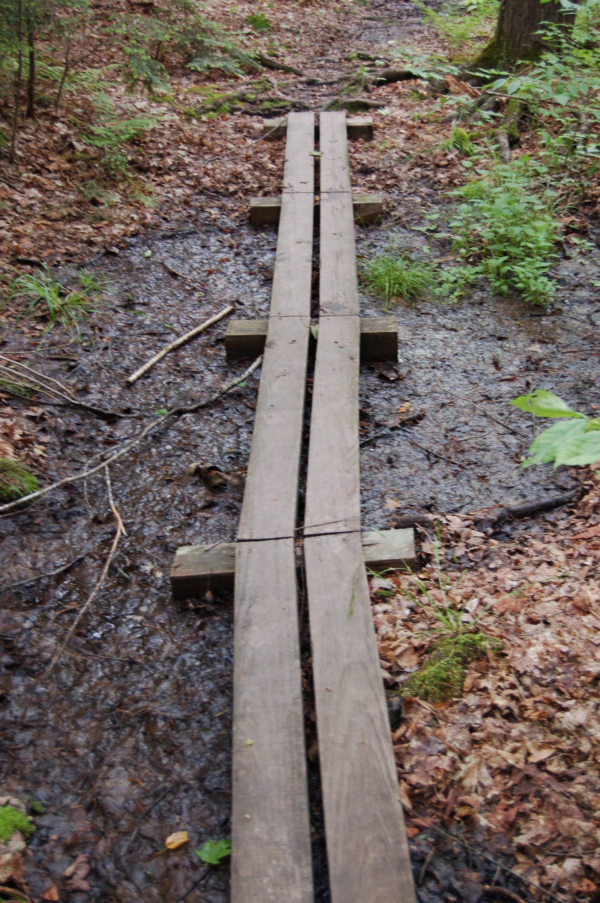
The trail is not incredibly difficult, but it does feature enough elevation changes to make the journey a moderately challenging one. Boardwalks are in place for areas that get wet or swampy. Interpretive signs recreate entries from a journal of miner William W. Spalding, who settled here in the 1840s. This was a tough place to try and survive at that time, and his entries detail the toils of everyday life as well as early efforts to mine copper.
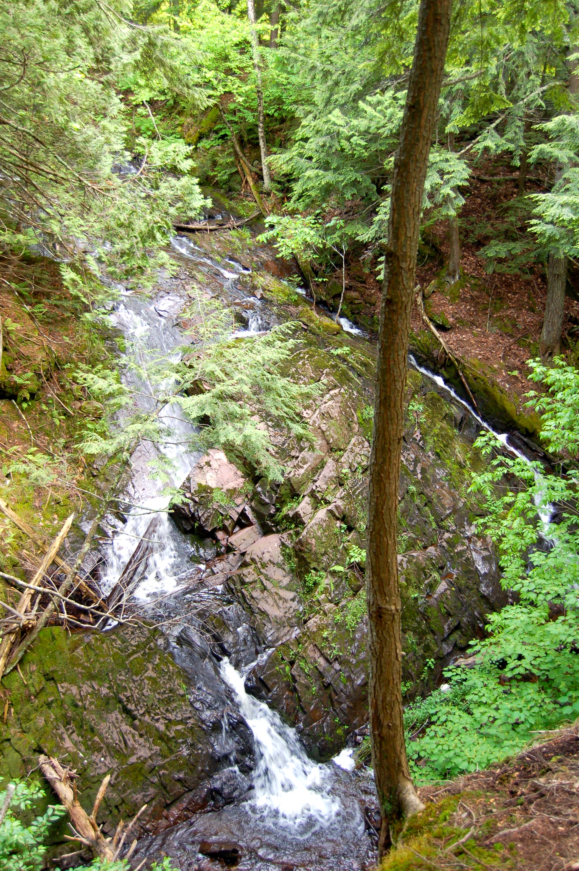
The trail also runs next to several beautiful waterfalls. We featured the Little Union Gorge Falls in an earlier post; this trail runs past those and many other unnamed falls on the Union River. These falls are best viewed in the spring or after a heavy rain, but the trade off is that trail conditions will then be a bit muddy and the mosquitos will be thick.

The interpretive signs include information about Copper, Trap Rock, James K. Paul (founding father of Ontonagon), Water Power, The First Shafts at Union Mine, the Nonesuch Road, the Boston & North America Mining Co., the No. 3 & No. 4 Shafts (with map), Spalding’s eventual departure from the area and more. A sample: “April 29, 1846 – Explored, found a vein five or six inches in width full of native copper on this location.” The parking area and trailhead can be found on the west side of South Boundary Rd., a few miles south of the visitor center and the 107th Engineers Memorial Highway. The trail winds through the woods and alongside the river, crosses South Boundary Rd., continues on through more woods and past more ruins, then re-crosses the road and leads back to the parking area. It is well-worn and easy to follow.
[slideshow_deploy id=’10059′]