
Michigan Trail Tuesday: North Country Trail at Fallasburg Park, Lowell
Michigan Trail Tuesdays is a new feature that will showcase a different trail or trail segment each week. The Mitten State is home to thousands of miles of trails, including the new Iron Belle Trail that runs from Detroit in the southeast to Ironwood in the western Upper Peninsula.
We’re fortunate to live close to several amazing segments of the North Country Trail, and we’ve been putting in a lot of miles lately trying to get our #Hike100NCT patches. One of our favorite hikes so far has been the NCT segment that runs through Fallasburg Park north of Lowell. It features a historic covered bridge, scenic views of the Flat River, a well-maintained and easy to follow trail, and a great mix of terrain and difficulty. The trail passes by a popular disc golf course, and there is a picnic area beside the river. Below we will detail the route we took and describe trail conditions. Be sure to stop by the North Country Trail Association national headquarters at 229 E. Main St. in downtown Lowell for more information and trail maps.
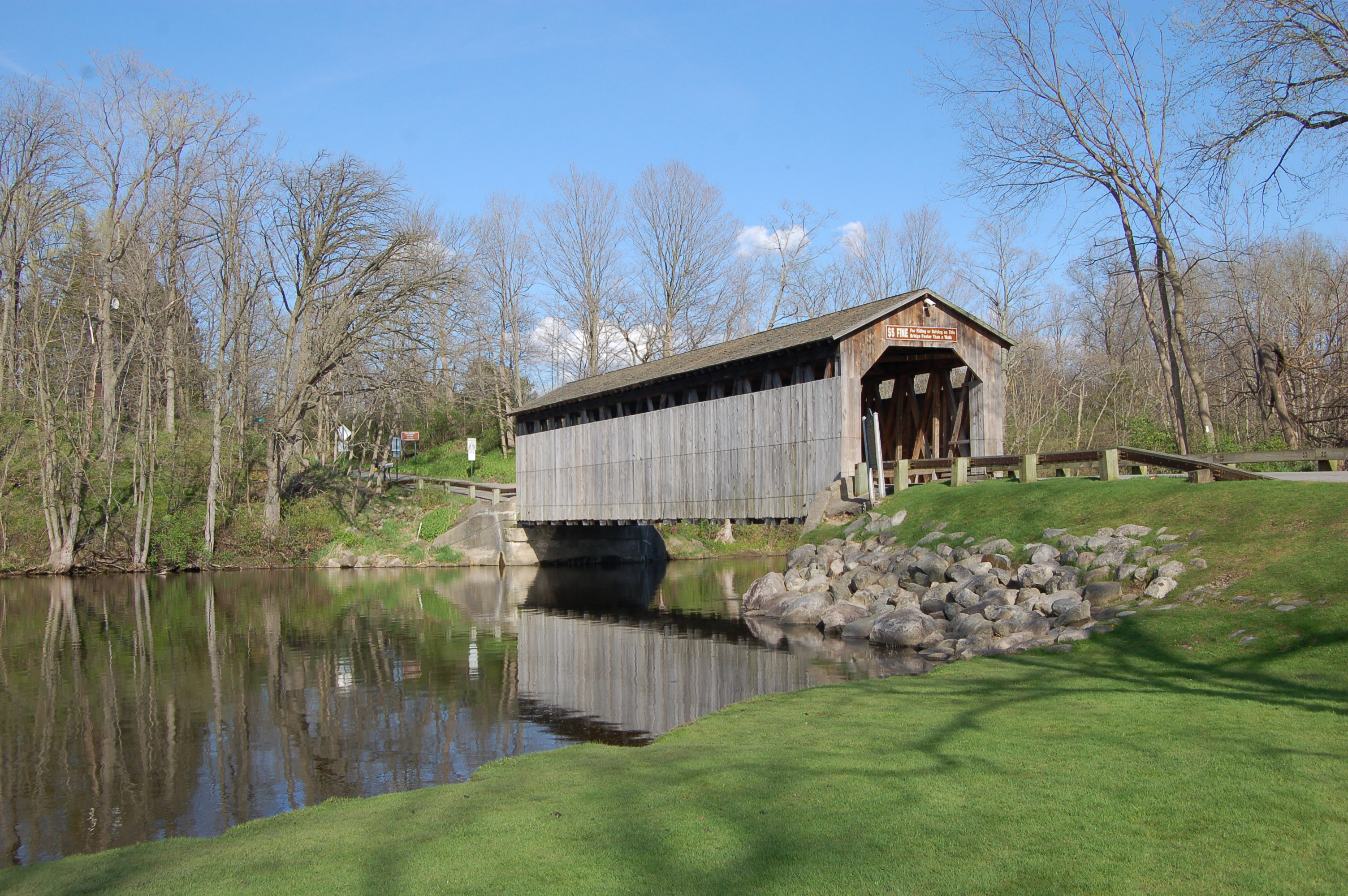
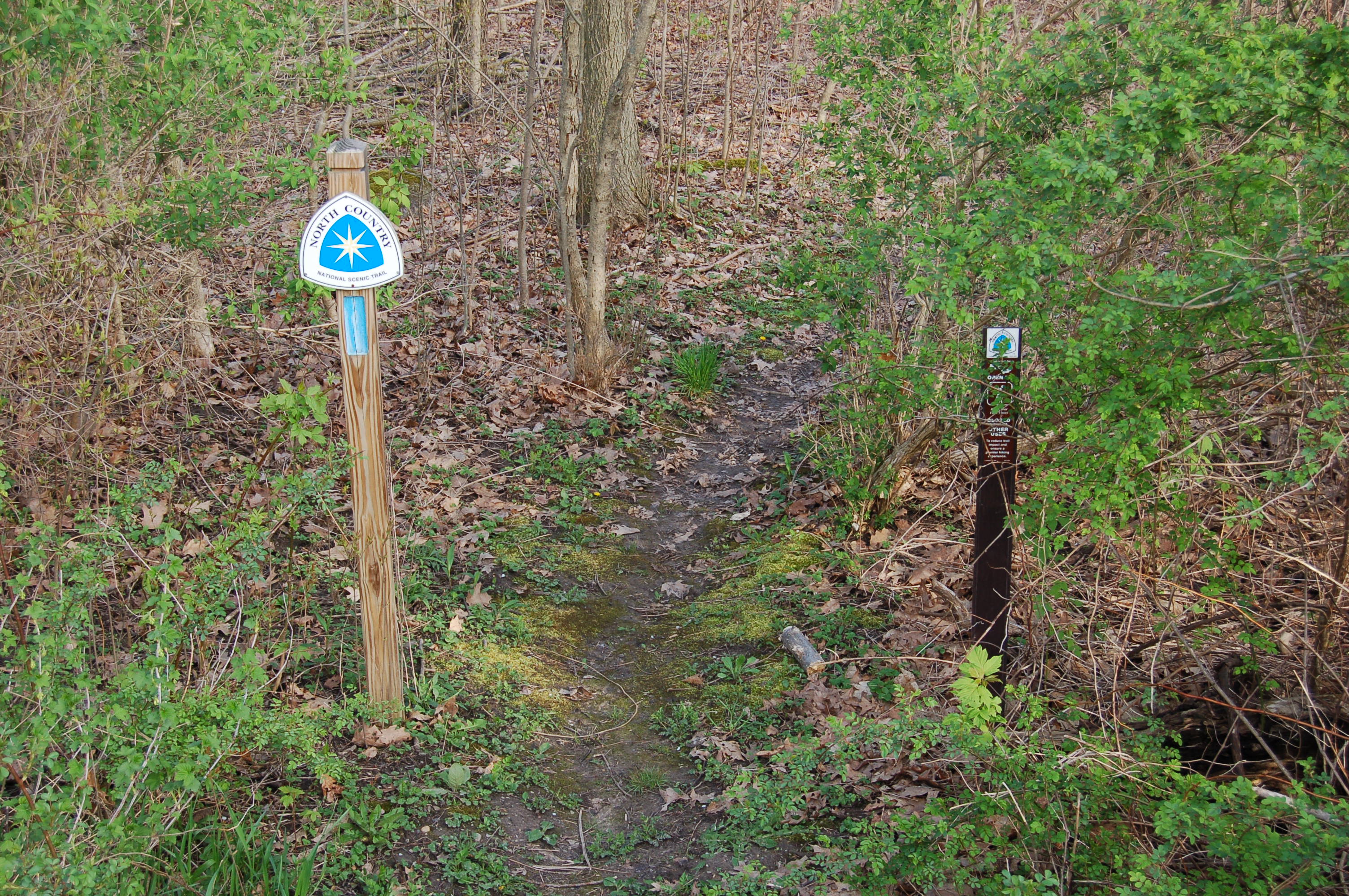
We parked in the small parking lot near the Fallasburg Covered Bridge. To get here from Lowell head north on Lincoln Lake Ave., then turn right on Fallasburg Park Dr. When the road forks, take another right on Covered Bridge Dr. and follow it to the parking area. From here the route starts by crossing the bridge, then walking along the road through the historic district that features the Tower Farm, John W. Fallas House, and several other historic homes. After 0.3 miles you will reach the North Country Trail trailhead, which is at the north end of the intersection of Covered Bridge Rd. and Montcalm Ave.
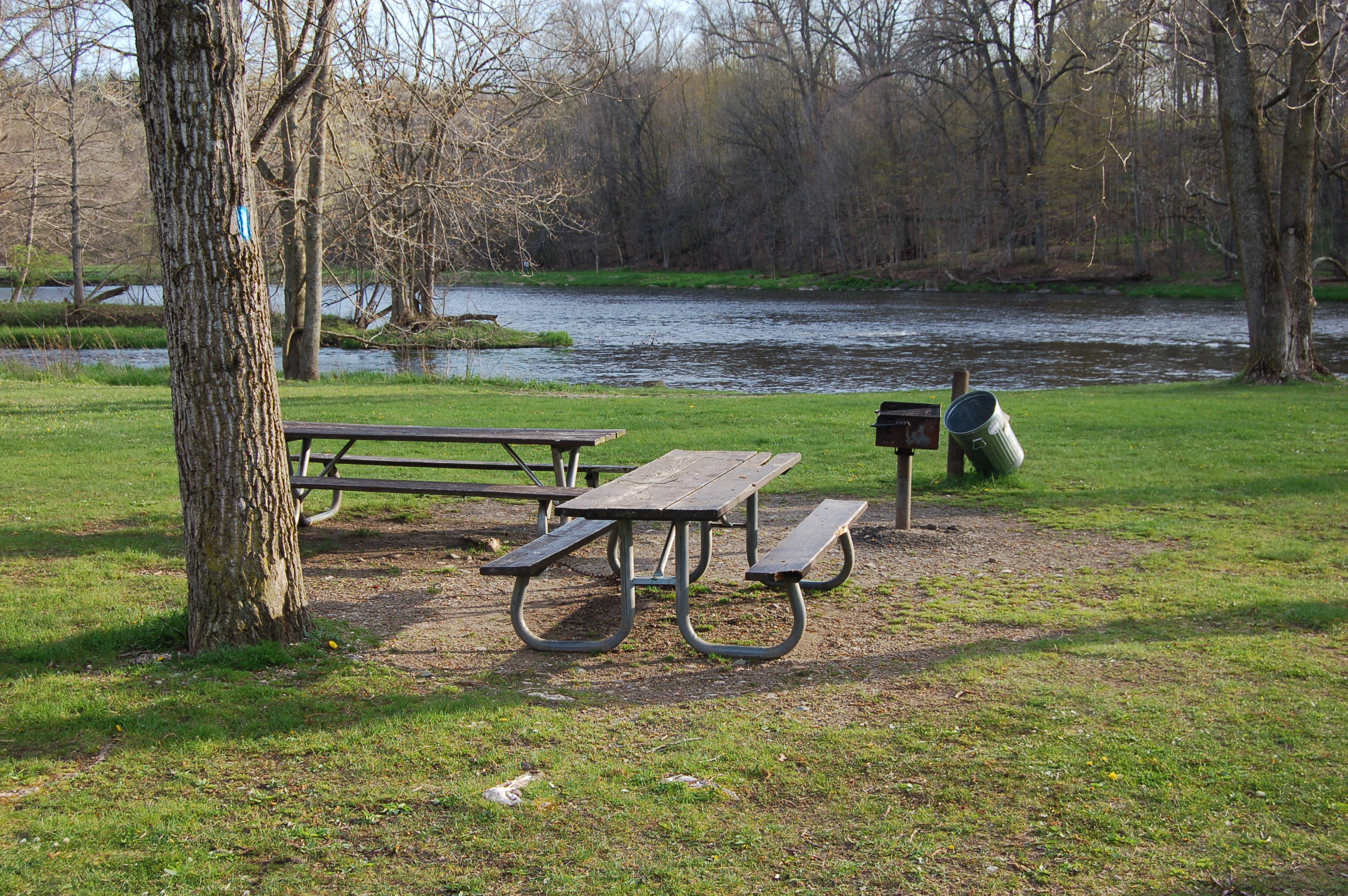
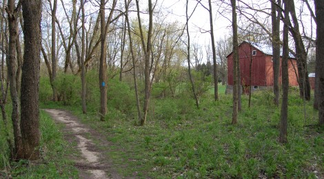
This segment of the trail is 0.8 miles long, well-worn and fairly wide. It passes the disc golf course and follows the Flat River to a picnic area and the parking lot for the disc golf course and trails. The NCT continues on along the river, crossing on a bridge under McPherson St. While the first part of this hike was mostly smooth and level, the second half presents more challenging terrain.

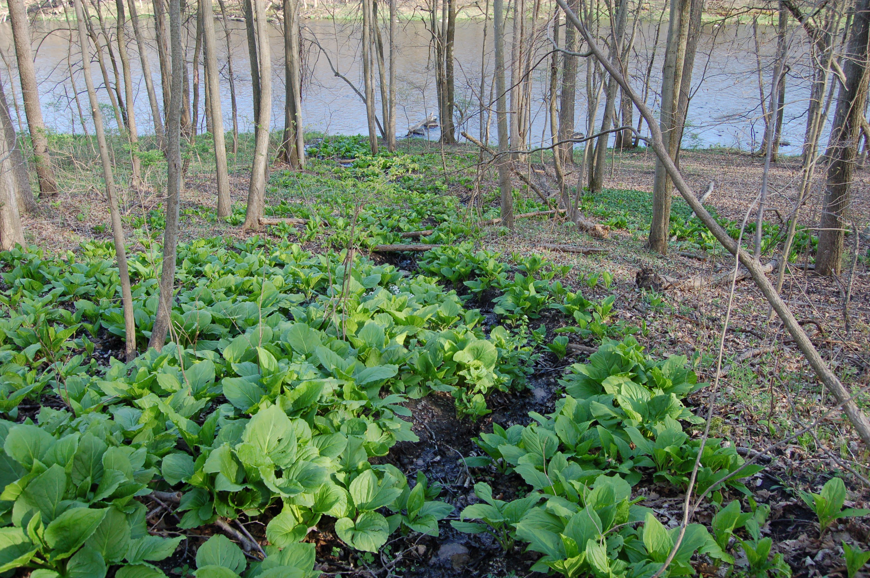
After crossing the river the trail splits to the left and to the right. Take the right fork and keep following alongside the river. After a short distance there is a creek that will need to be crossed – depending on the water level it might be easy to just jump across. There are several larger logs in place that can help make the crossing easier. After the creek the trail climbs a hill where steps have been put in (shown above). The trail levels out for a bit on high ground, before dipping back into the woods and following along the river. The path here is wide enough for single-file hiking with some up-and-down stretches before it eventually turns to the left and up a hill toward Covered Bridge Rd. This segment is 0.9 miles long, and a total hike of 2 miles from the parking area.
We chose to turn around here and backtrack for a total of four miles. This hike gets great reviews from us for being well-maintained, well-signed, scenic, and challenging. I enjoyed learning more about the history of the area, and it’s a safe bet we’ll end up hiking this route a few more times this summer. Enjoy a collection of pictures from our hike in the slideshow below.
[slideshow_deploy id=’8049′]