
Michigan Trail Tuesday: Kal-Haven Trail State Park
Michigan Trail Tuesdays is a new feature that will showcase a different trail or trail segment each week. The Mitten State is home to thousands of miles of trails, including the new Iron Belle Trail that runs from Detroit in the southeast to Ironwood in the western Upper Peninsula.
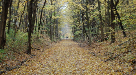
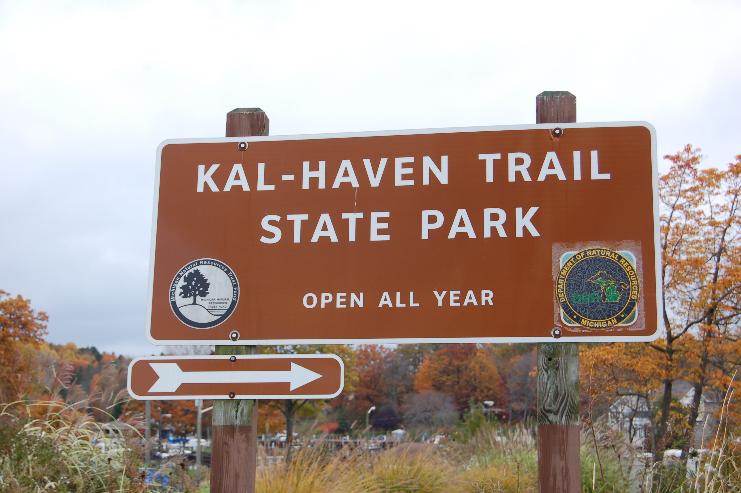
The Kal-Haven Trail State Park features one of southwest Michigan’s premier trails for hiking and bicycling, running more than 33 miles from South Haven to Alamo Township (Kalamazoo) on the former route of the Kalamazoo and South Haven Railroad. The crushed limestone trail leads through woods, alongside and over the river, past meadows and farmland, and it connects to the Kalamazoo River Valley Trail at its east end.
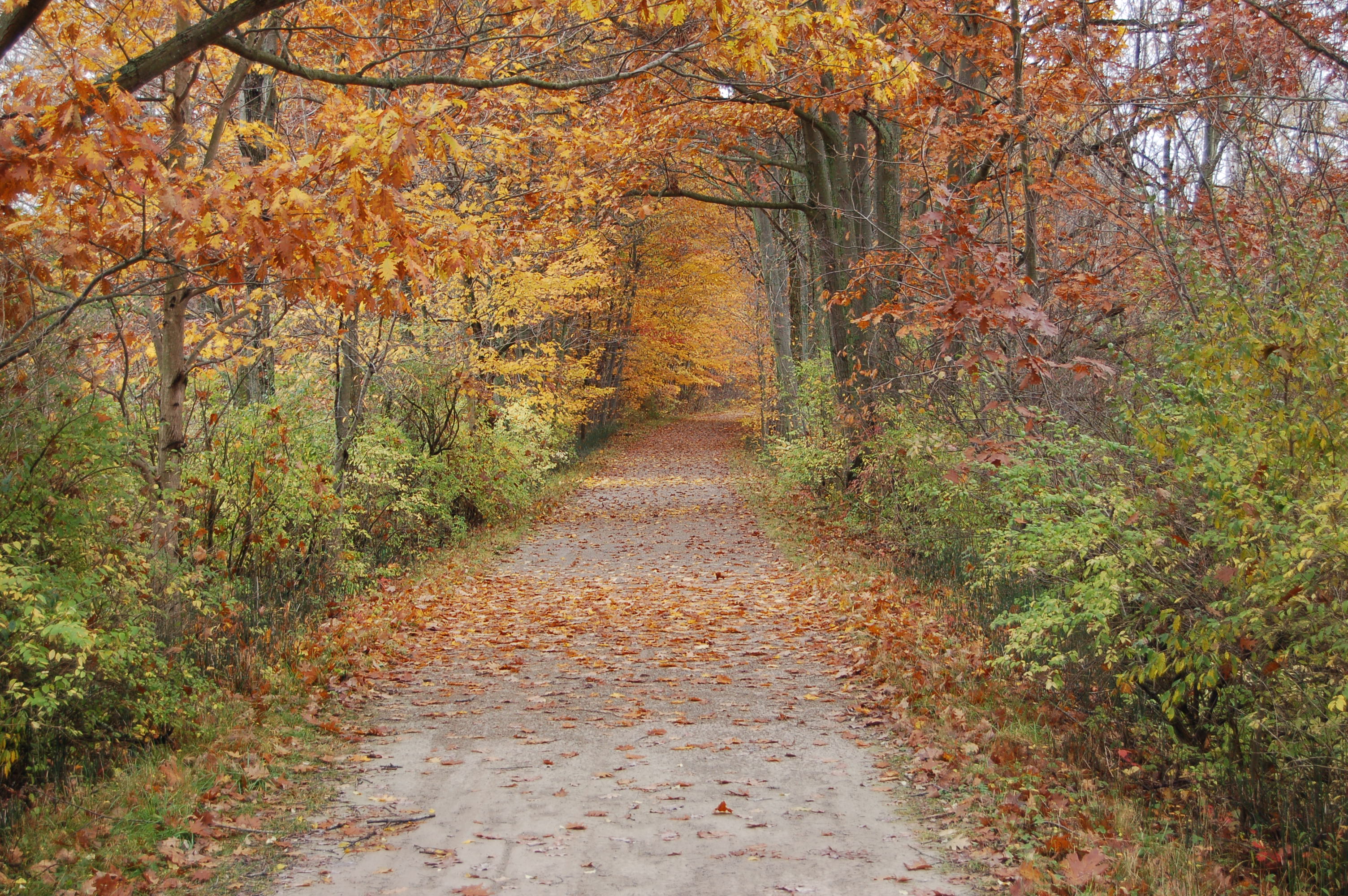
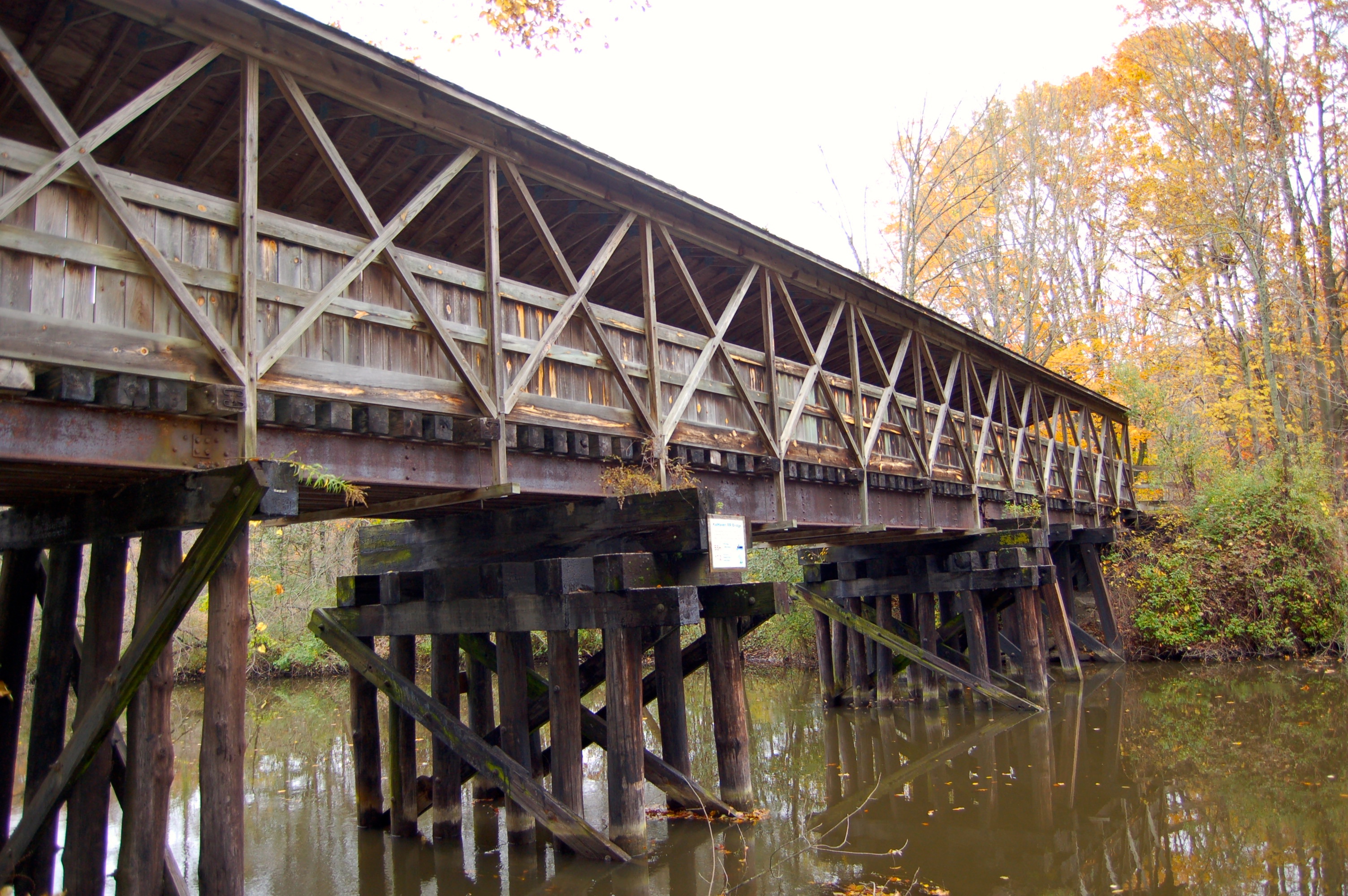
We hiked a portion of this trail starting at the South Haven trailhead. There is a large parking area here, with a picnic pavilion, an office that is sometimes staffed in summer months, and pit toilets. Bridge reconstruction on the Blue Star Highway detours the trail at .3 miles, for a project that will run through June of 2017. After resuming on the other side of the highway, the trail heads into the woods and follows alongside the Black River. After hiking under I-196 and covering nearly a mile you reach one of the highlights of the entire trail: the Donald F. Nichols Covered Bridge. This scenic, 108-foot bridge was rebuilt from a railroad trestle bridge and now carries the trail over the south branch of the Black River. There is also a camelback bridge on the trail in Grand Junction.
Counting the parking lot we started from there are 10 major waypoints on the trail. Each of these stops has some combination of at least one of the following: restroom, drinking fountain, parking area. The trail is open for hiking and bicycling and horseback riding (on a specific 11-mile segment) and in the winter it can be used for snowshoeing, cross country skiing, and even snowmobiling when there is a base of four inches of snow.

To reach the South Haven trailhead, head north on Bailey St. from Phoenix St. (exit 20 from I-196) Follow Bailey St. for .6 miles, heading north through the roundabout and following signs that lead to the parking area. The Kalamazoo trailhead is located off of 10th St., north of W. H Ave. (take the M-43 exit from US-131).
[slideshow_deploy id=’9910′]