

Michigan Trail Tuesday: Clay Cliffs Natural Area, Leelanau Conservancy
Michigan Trail Tuesday is our attempt to showcase a different trail or trail segment each week. The Mitten State is home to thousands of miles of trails, including the new Iron Belle Trail that runs from Detroit in the southeast to Ironwood in the western Upper Peninsula and more miles of the North Country Trail than any other state.
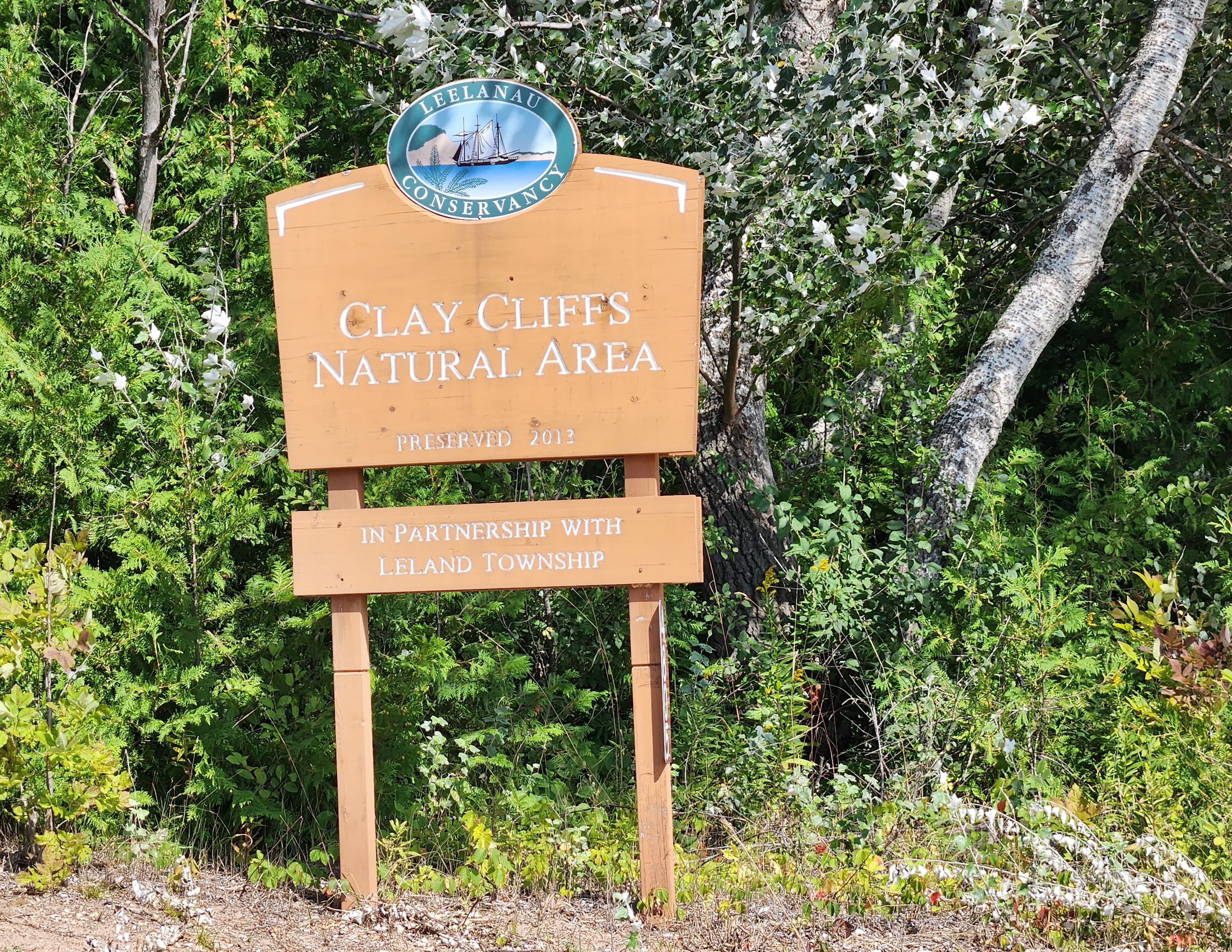
A September visit to Leelanau County gave us the chance to see lighthouses, historical markers, and look for Petoskey stones in Lake Michigan. We also got to explore a few “new to us” Leelanau Conservancy preserves and hike their trails. A few weeks ago we shared pictures and more from our visit to the Houdek Dunes Natural Area, and today we turn our attention to the nearby Clay Cliffs Natural Area. The trail here is scenic and while it does not allow access to the fragile dune cliff it does offer wildlife viewing opportunities and a viewing platform that looks out on Lake Michigan.
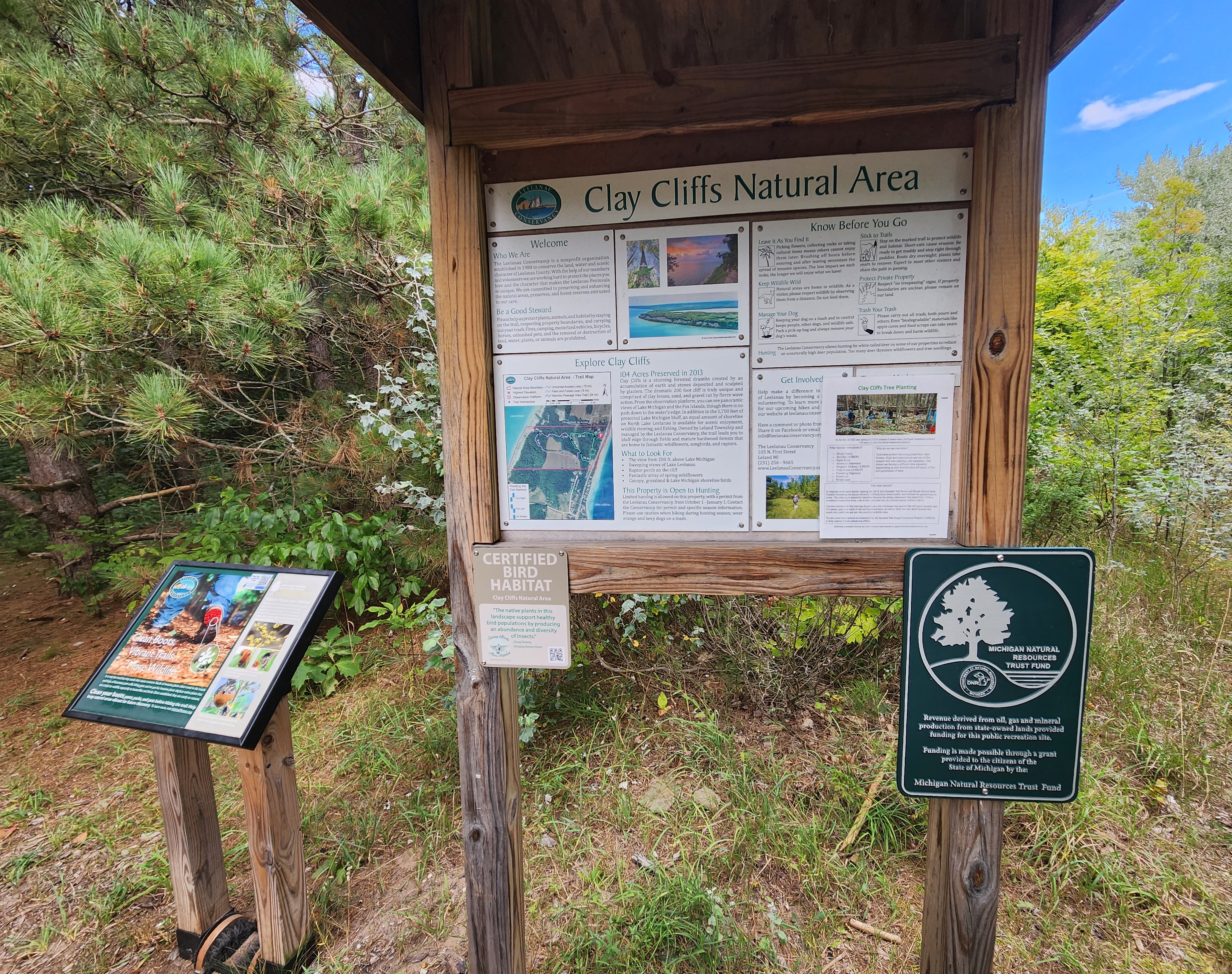
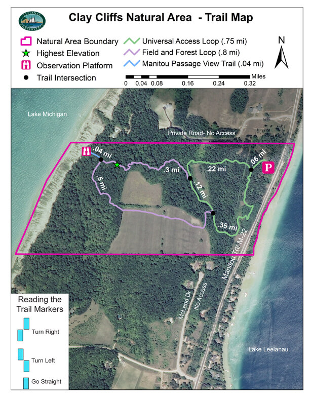
The trail begins from a parking lot that has room for 10-15 vehicles, and there is a map and information sign posted just a few feet from the trailhead. We knew we wanted to see what the view from the Manitou Lookout looked like, so we followed the Universal Access Loop into the woods for .2 miles.
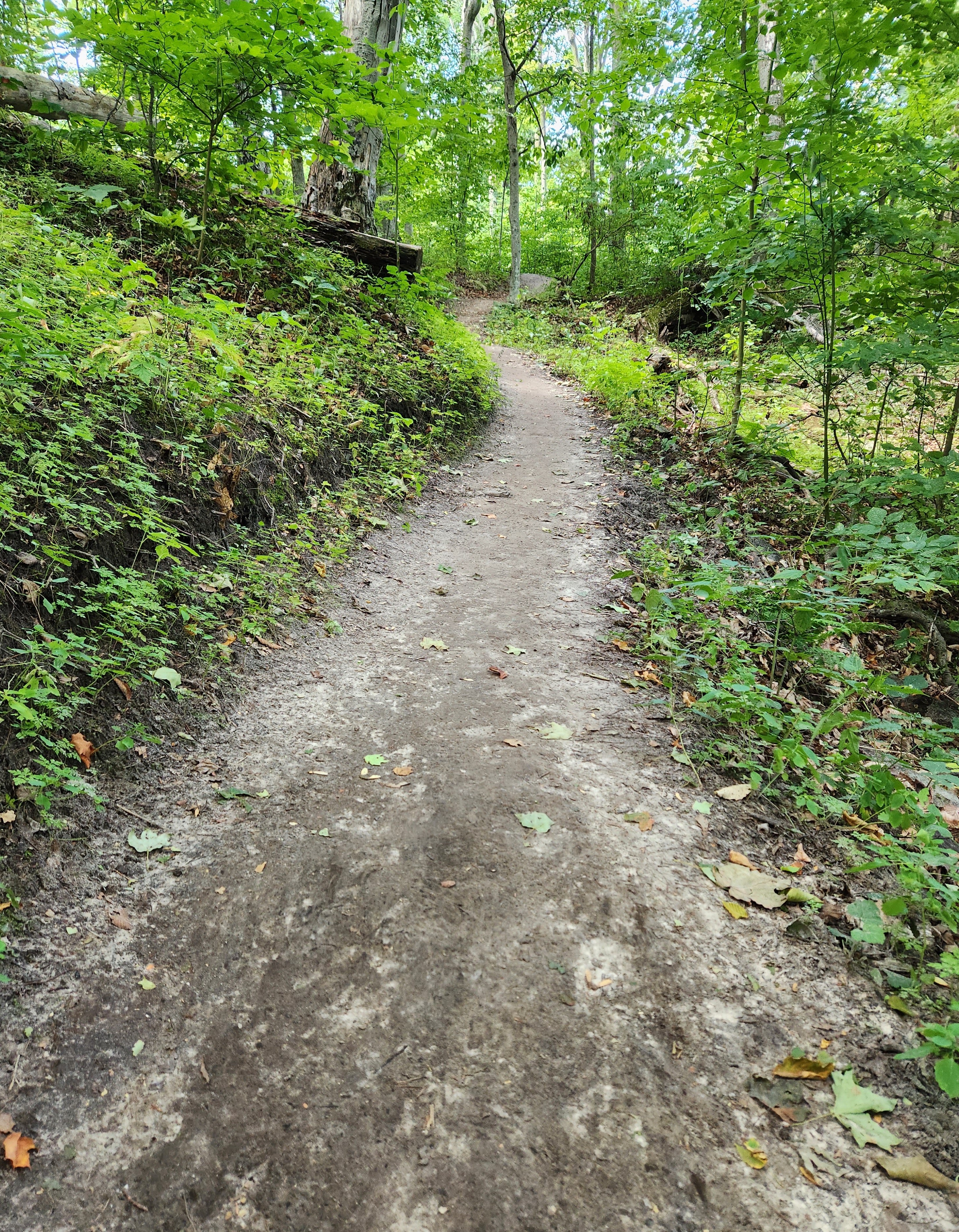
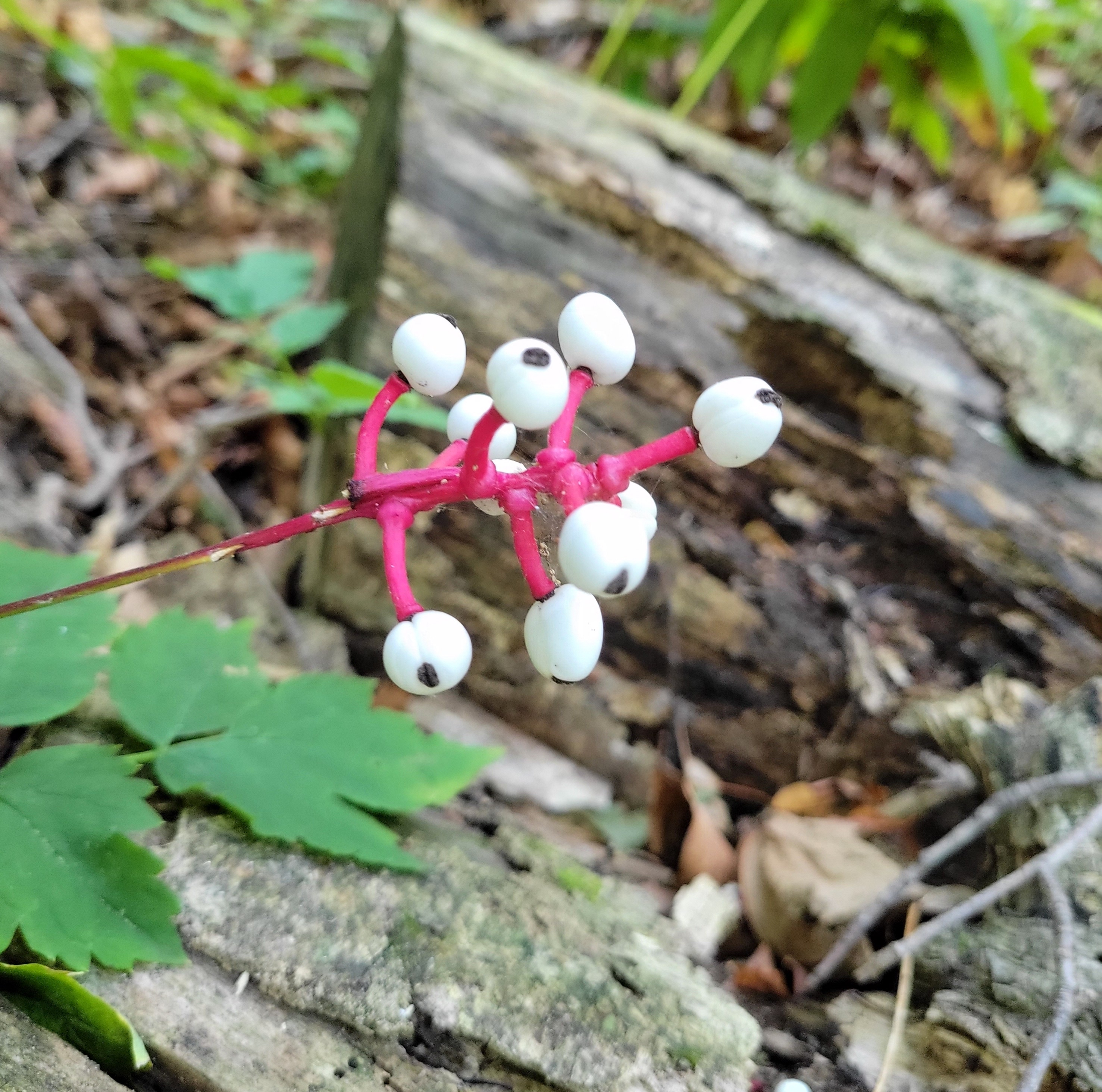
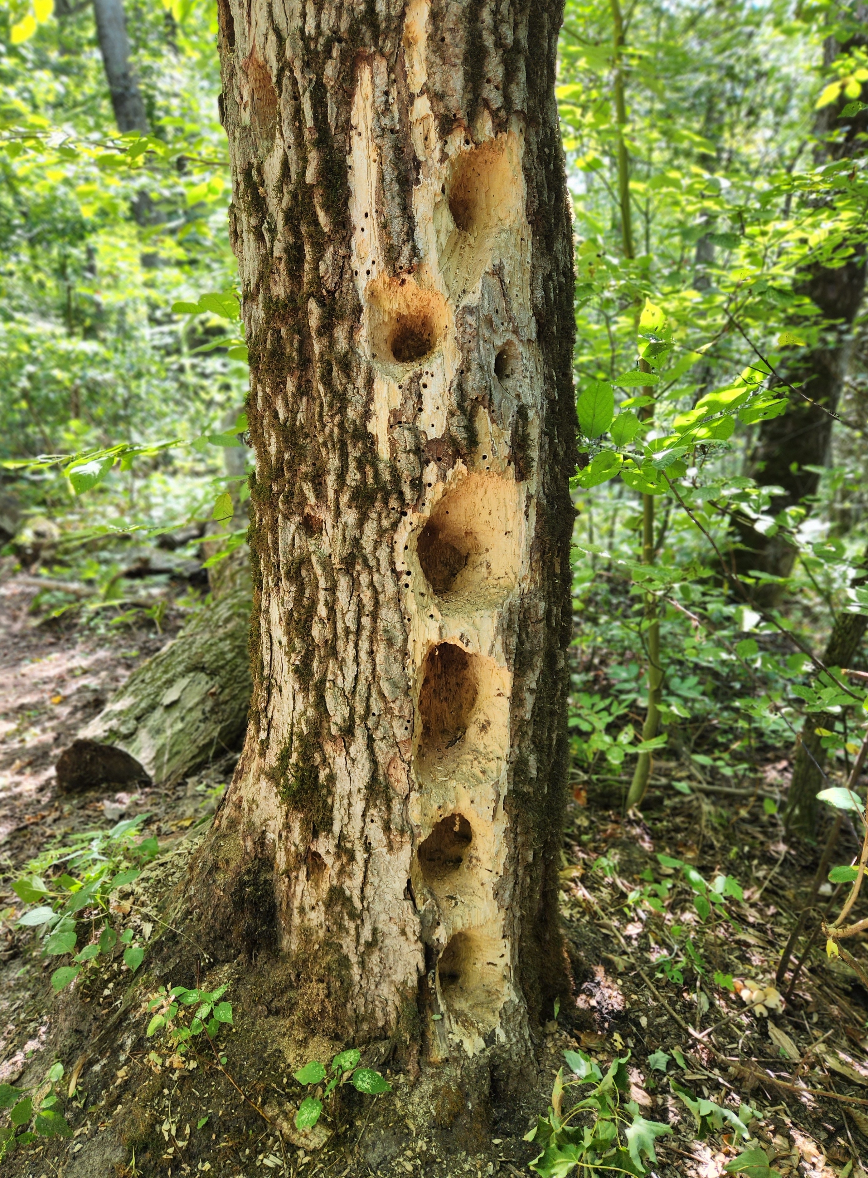
All trail intersections were well-signed, and it wasn’t long before we found ourselves following the Field and Forest Loop for another .3 miles. There were tall, beautiful trees everywhere and lots of evidence of abundant bird life. There was an uphill incline on this loop that made for a good workout and in a short time we had reached this loop’s intersection with the Manitou Passage View Trail.

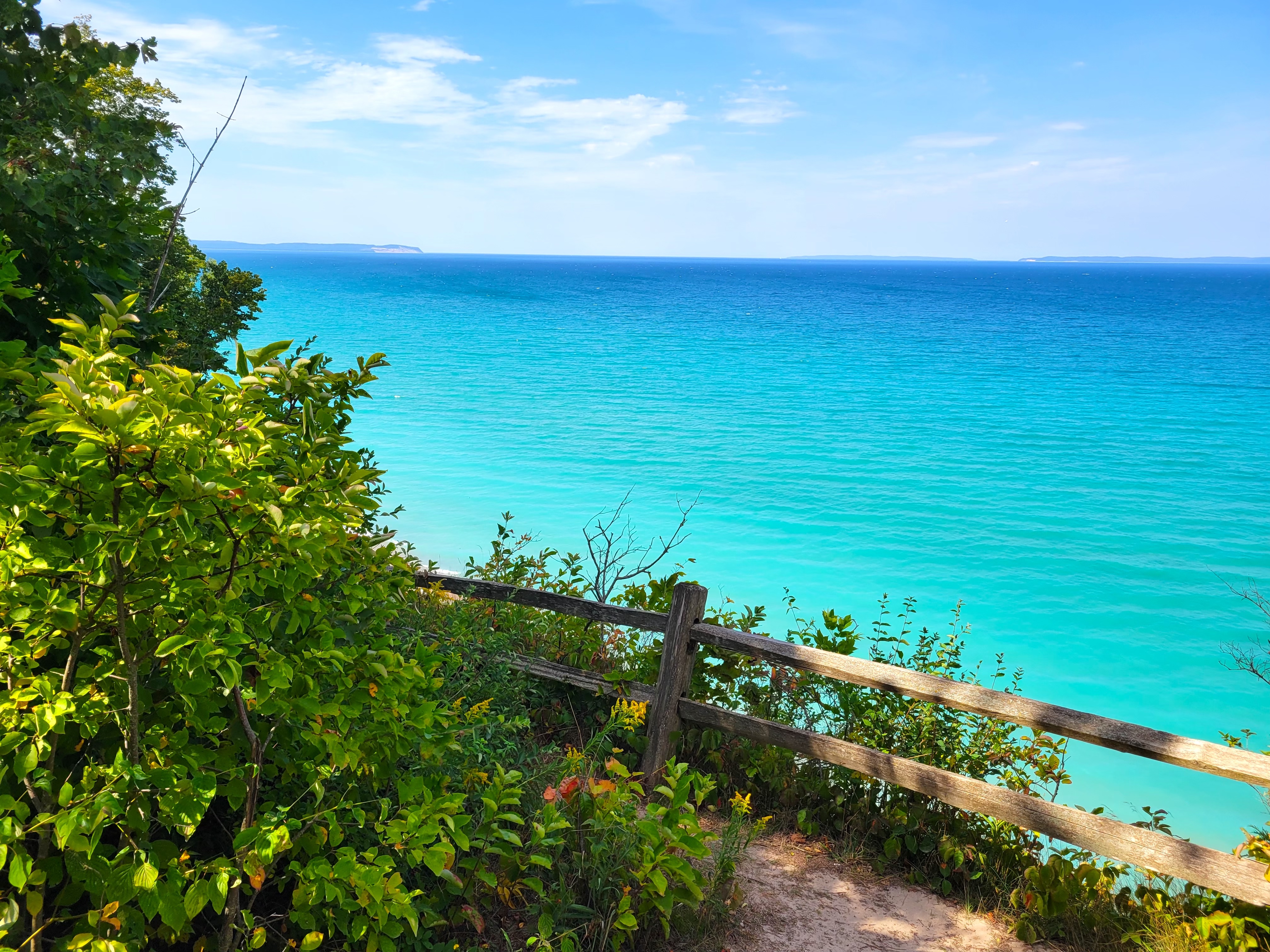
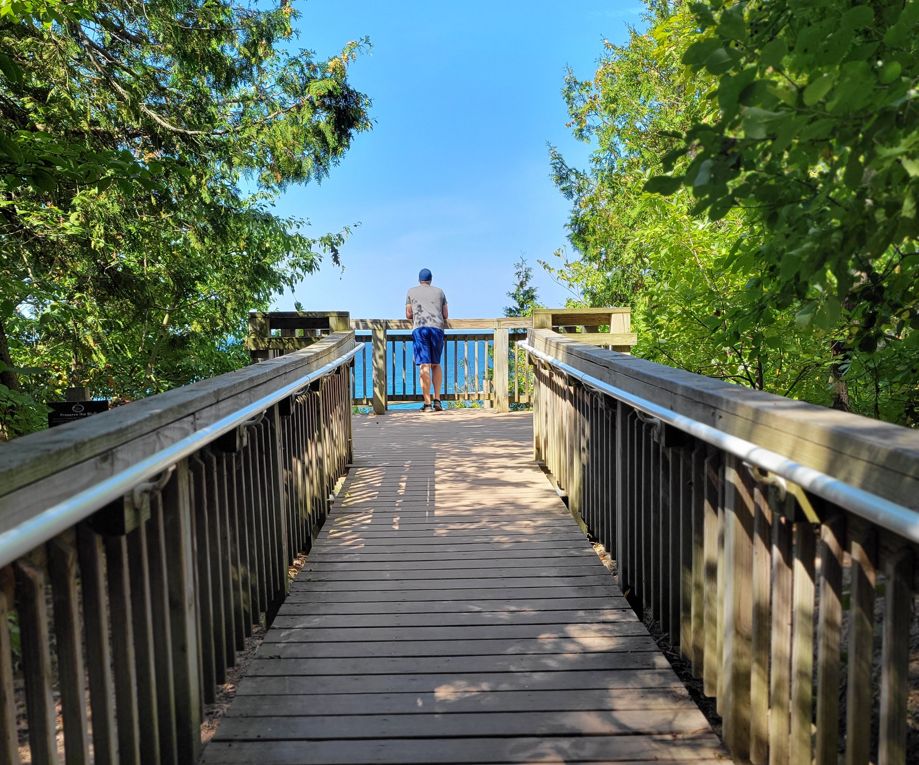
The Manitou Passage View Trail is very short (less than a tenth of a mile) and ends at a viewing platform that offers views of Lake Michigan and the Manitou Passage. It was a bit of a bummer that there are no good views of the actual Clay Cliffs here, but we will make it a goal to see them from the water soon.
We chose to re-trace our route to return to the parking lot, but for those looking for more adventure the Field and Forest Loop is .75 miles in length and it meets back up with the Universal Access Loop for an additional .35 miles before returning to the parking area. This route offers more birdwatching opportunities and views of Lake Leelanau.
The parking area for the Clay Cliffs Natural Area is located on the west side of M-22, a little more than 2 miles north of downtown Leland.