Photo Gallery Friday: Sleeping Bear Dunes National Lakeshore
Photo Gallery Friday is a regular feature on Travel the Mitten that will help showcase photos from places where a few pictures just aren’t enough to show off everything.
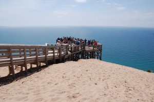
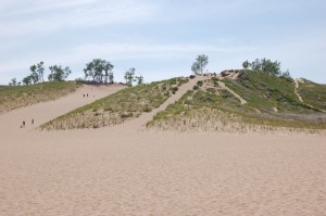
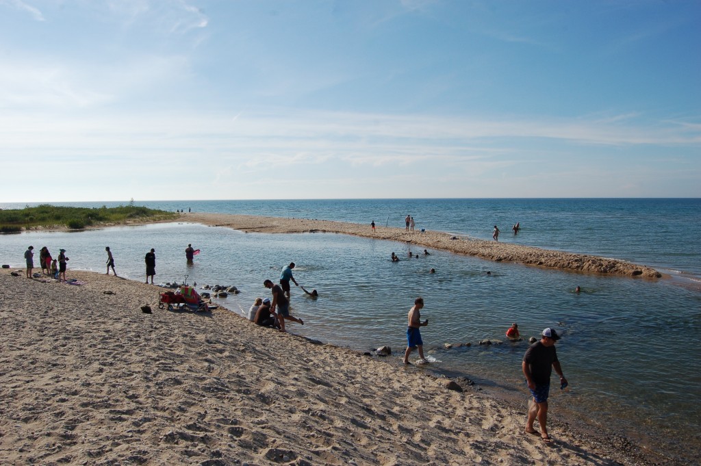
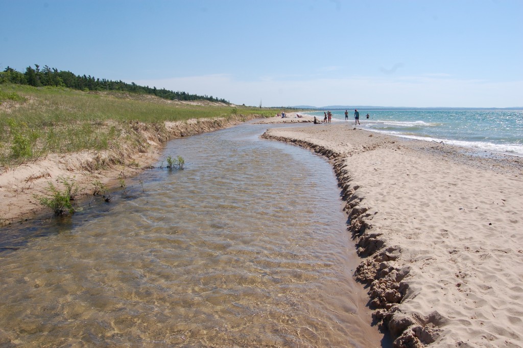
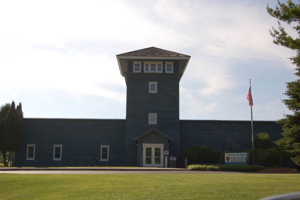
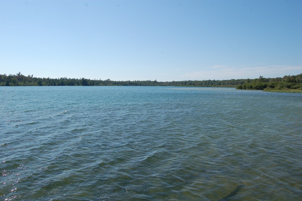
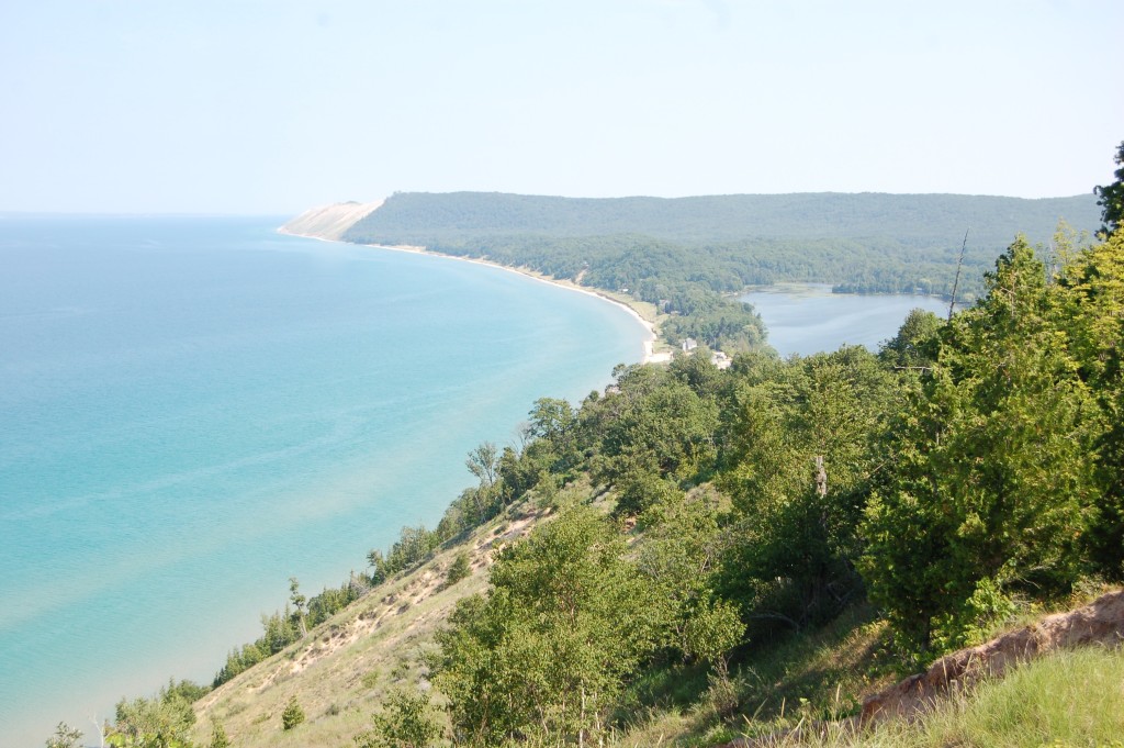
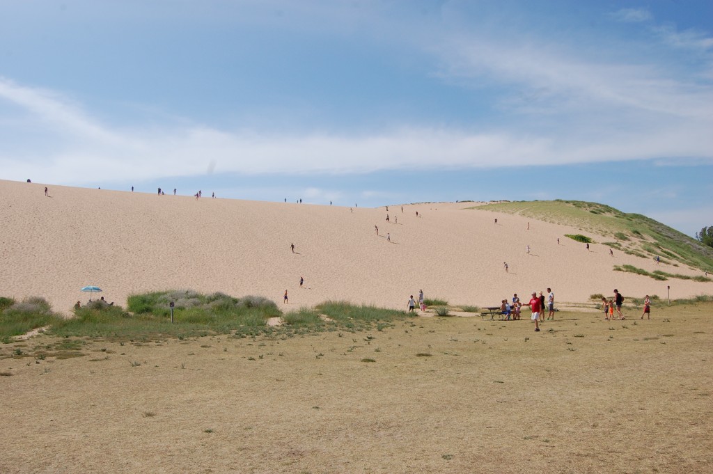
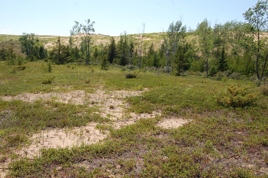
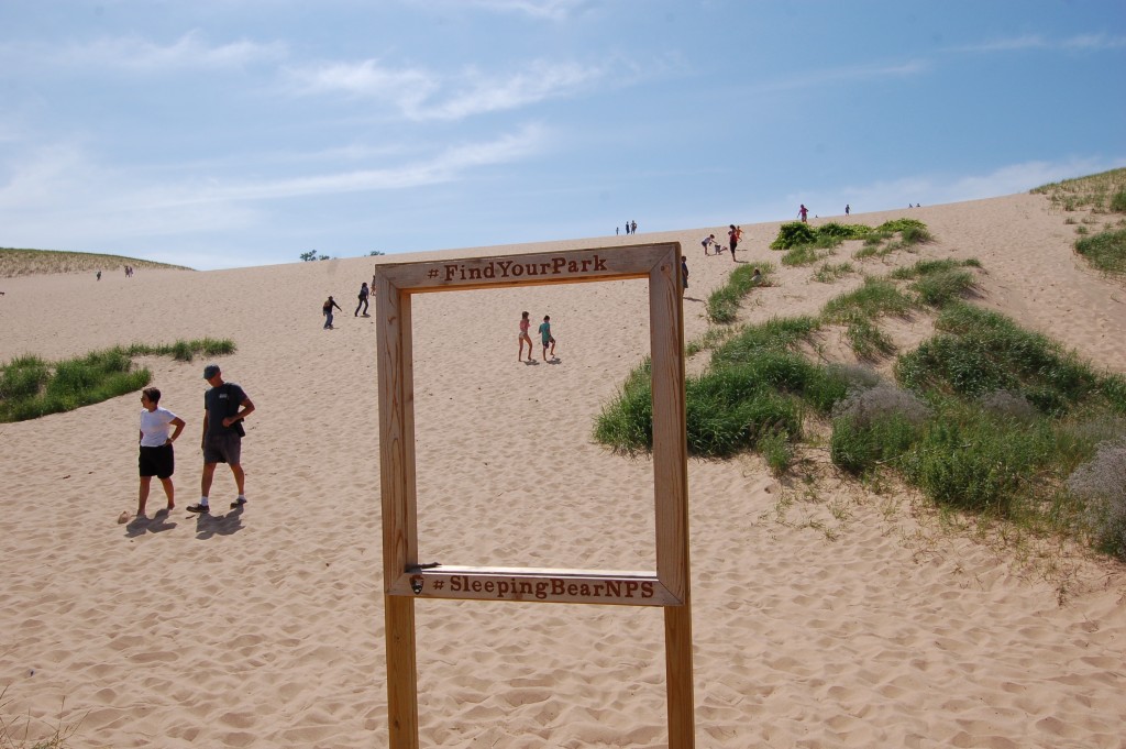
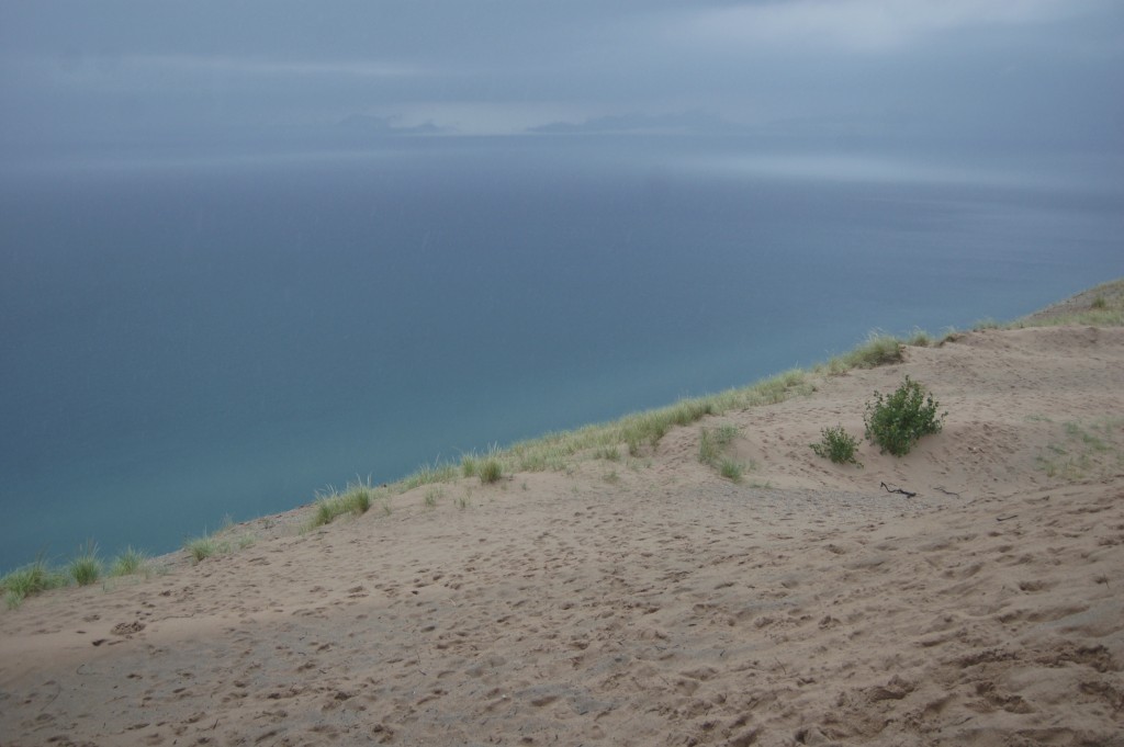
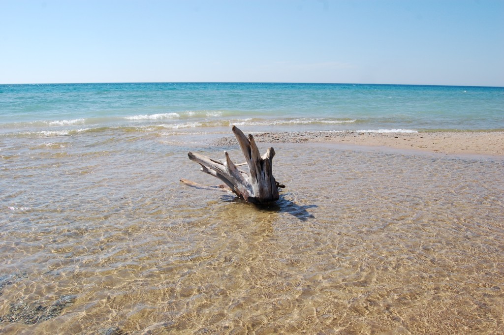
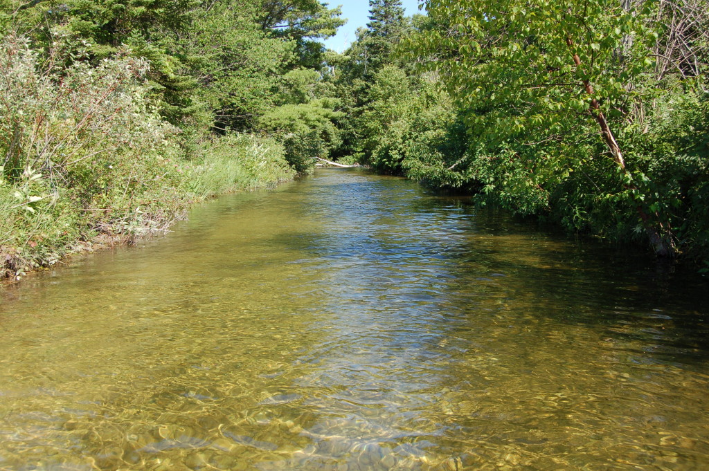
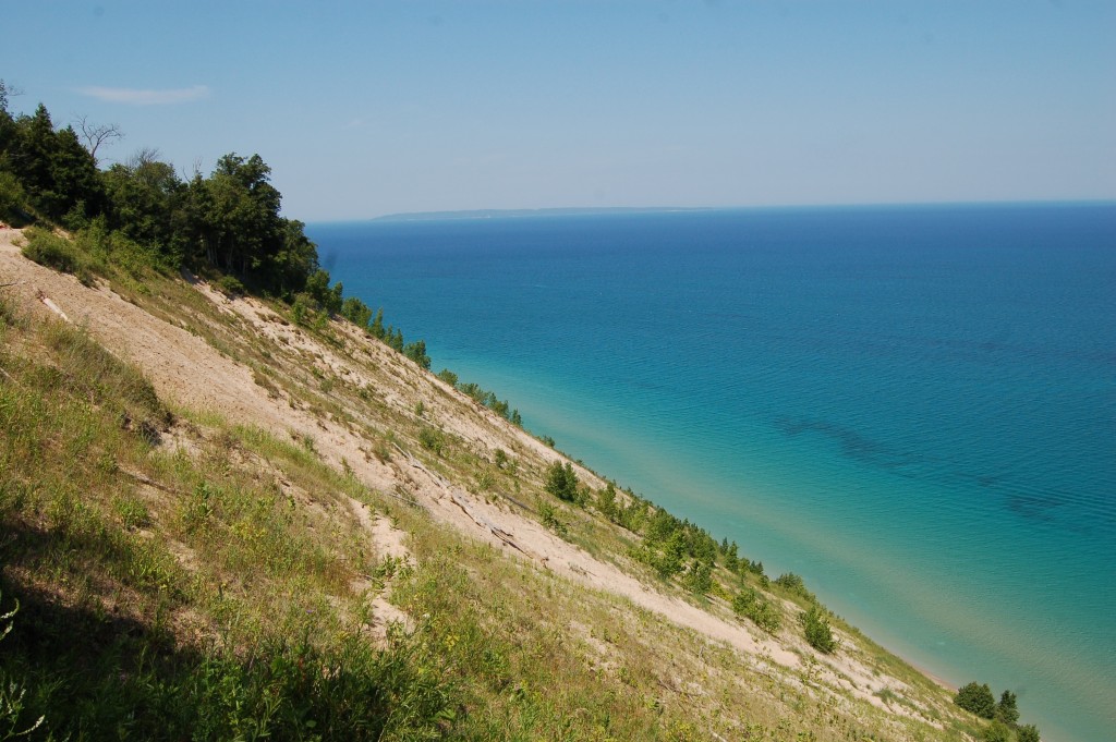
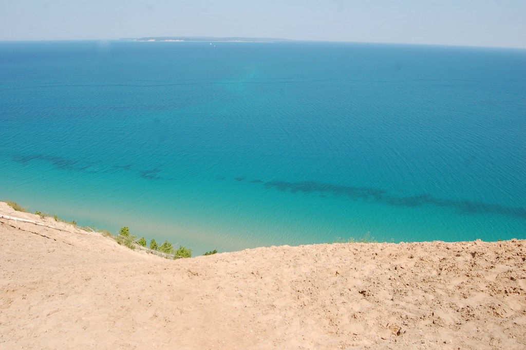
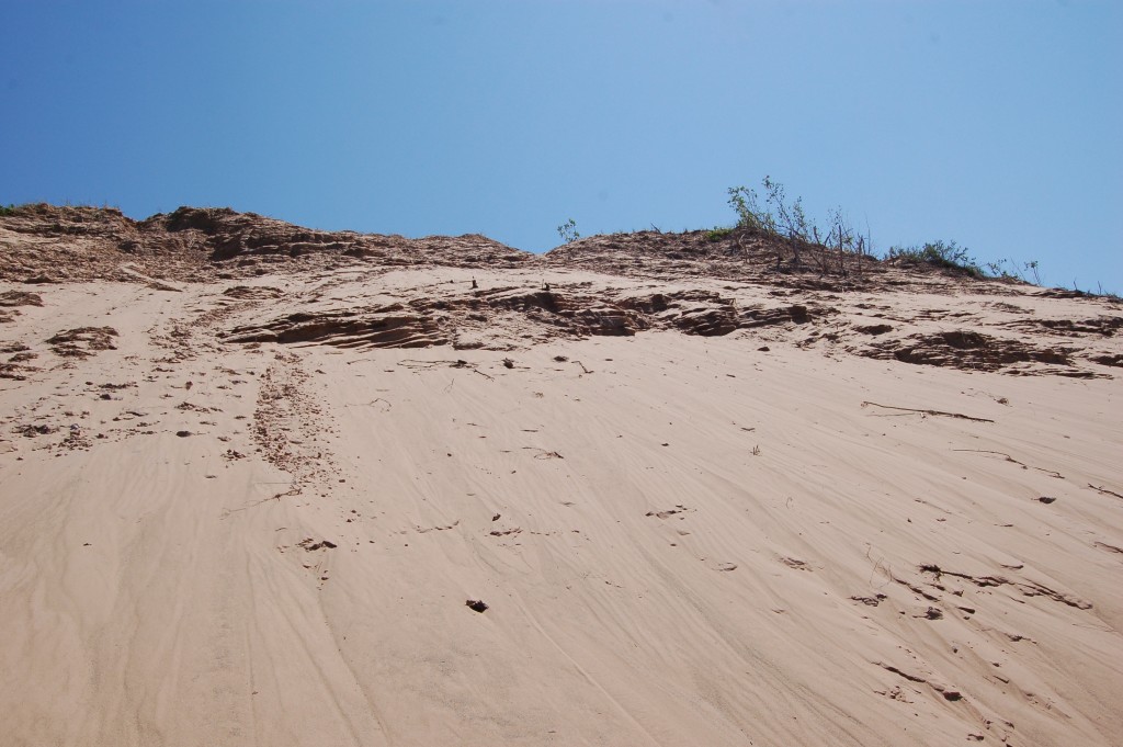
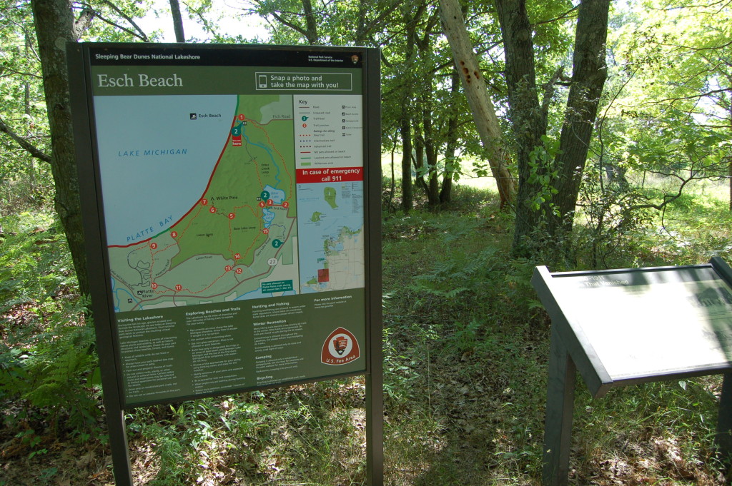
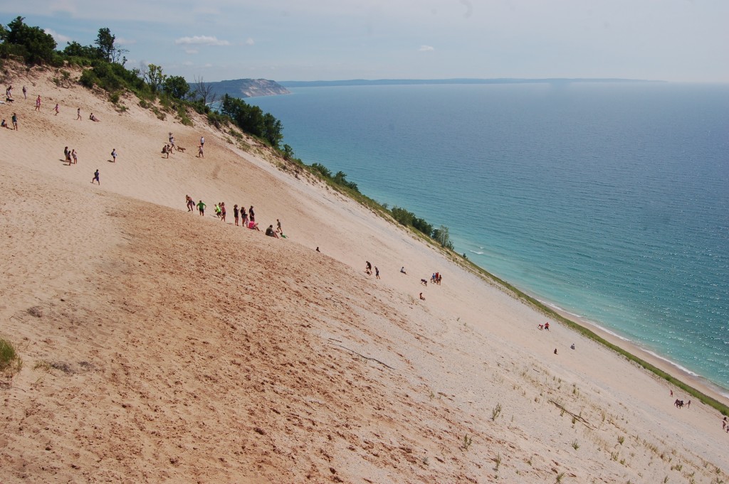
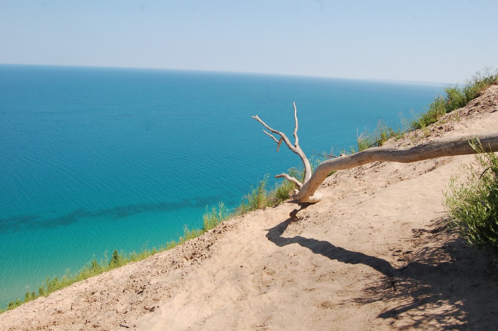
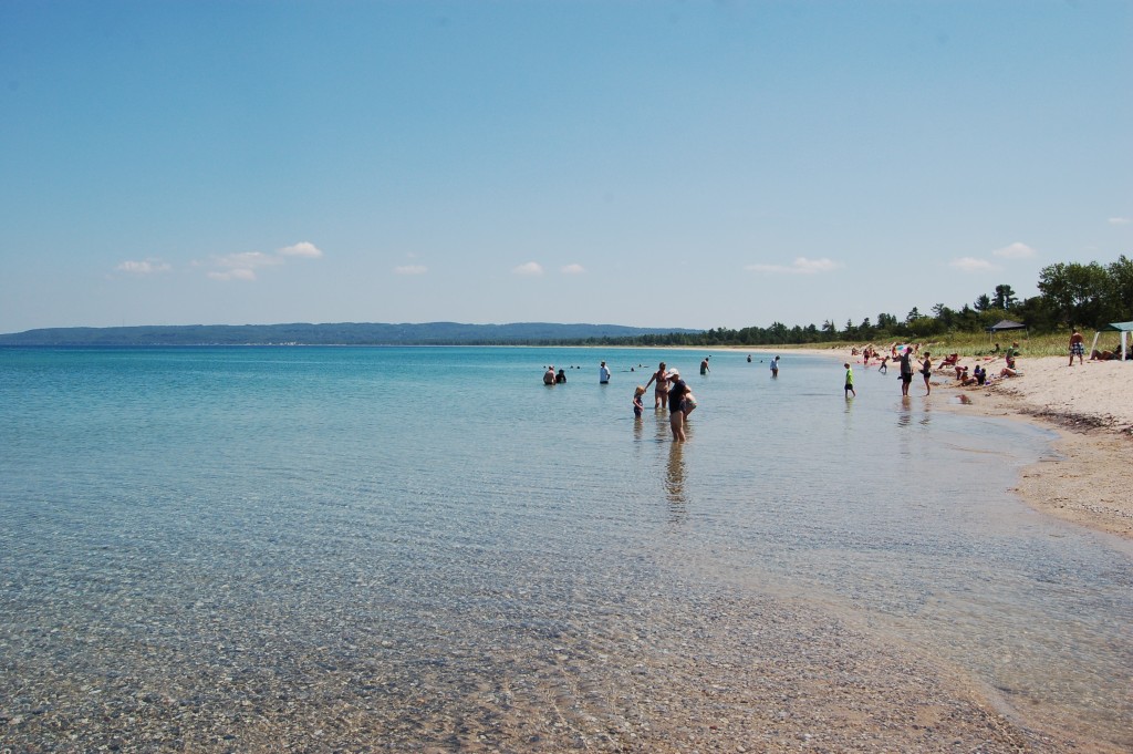
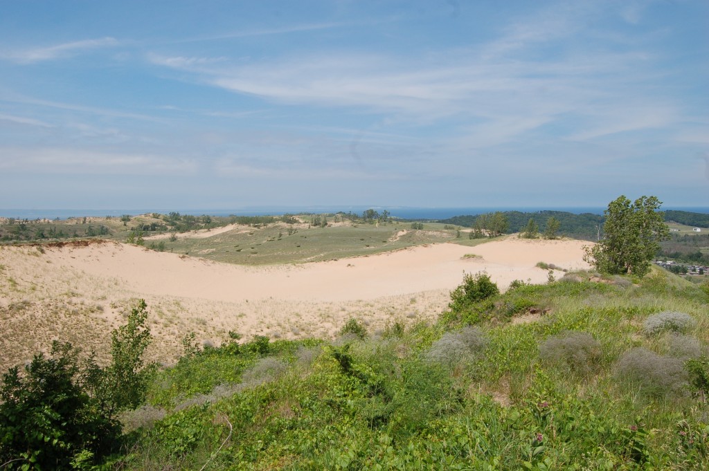
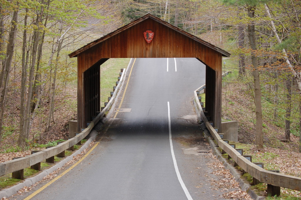
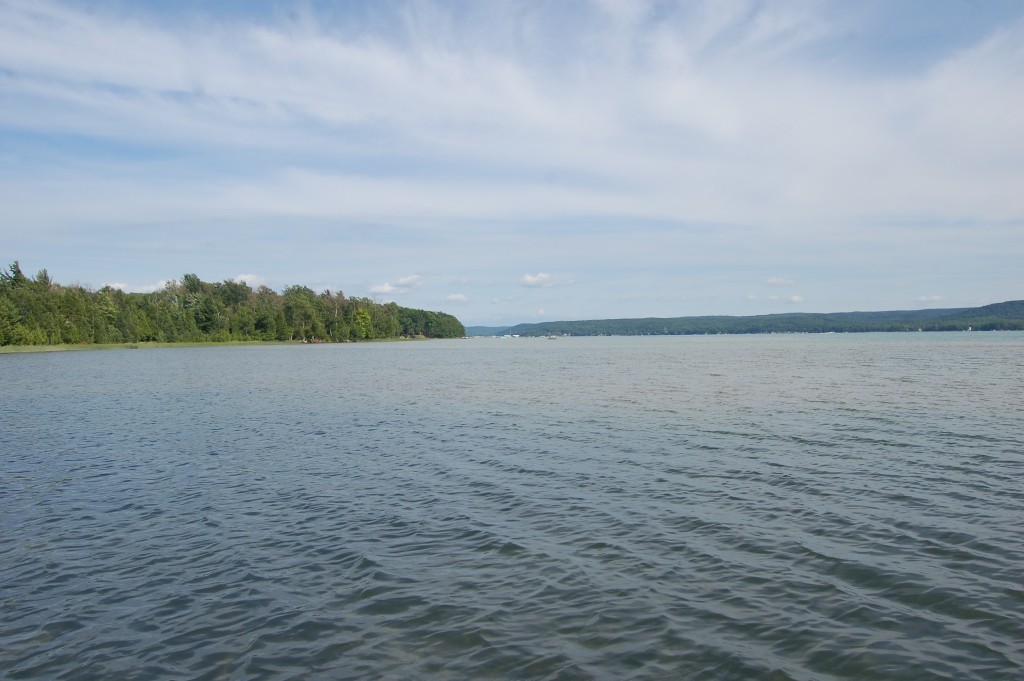
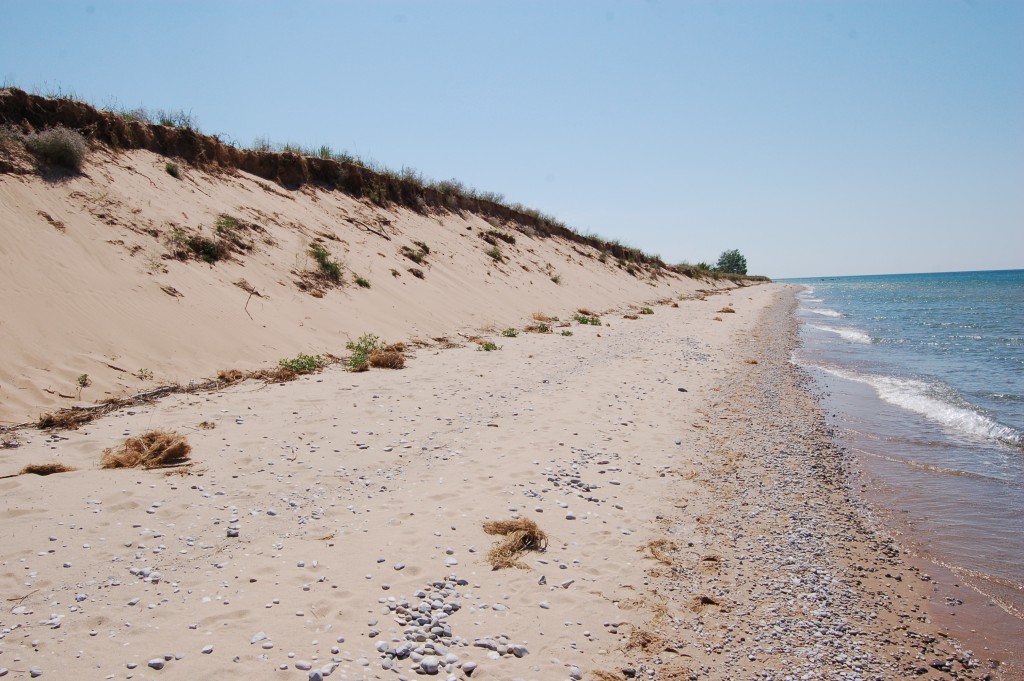
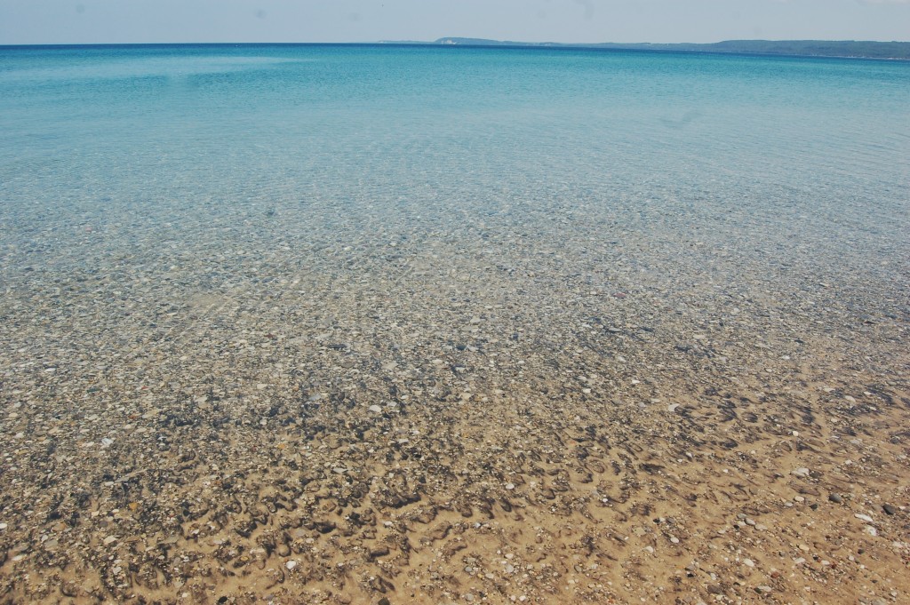
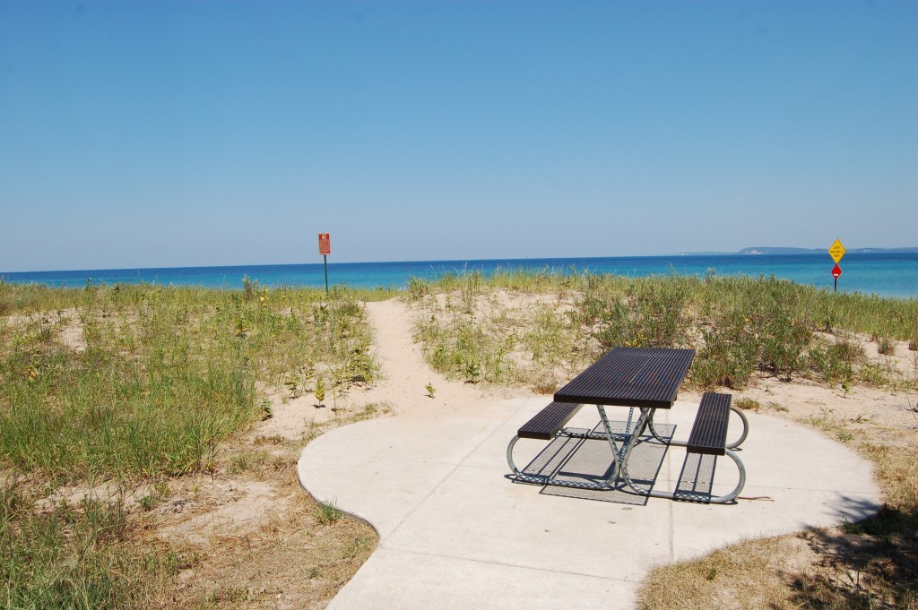
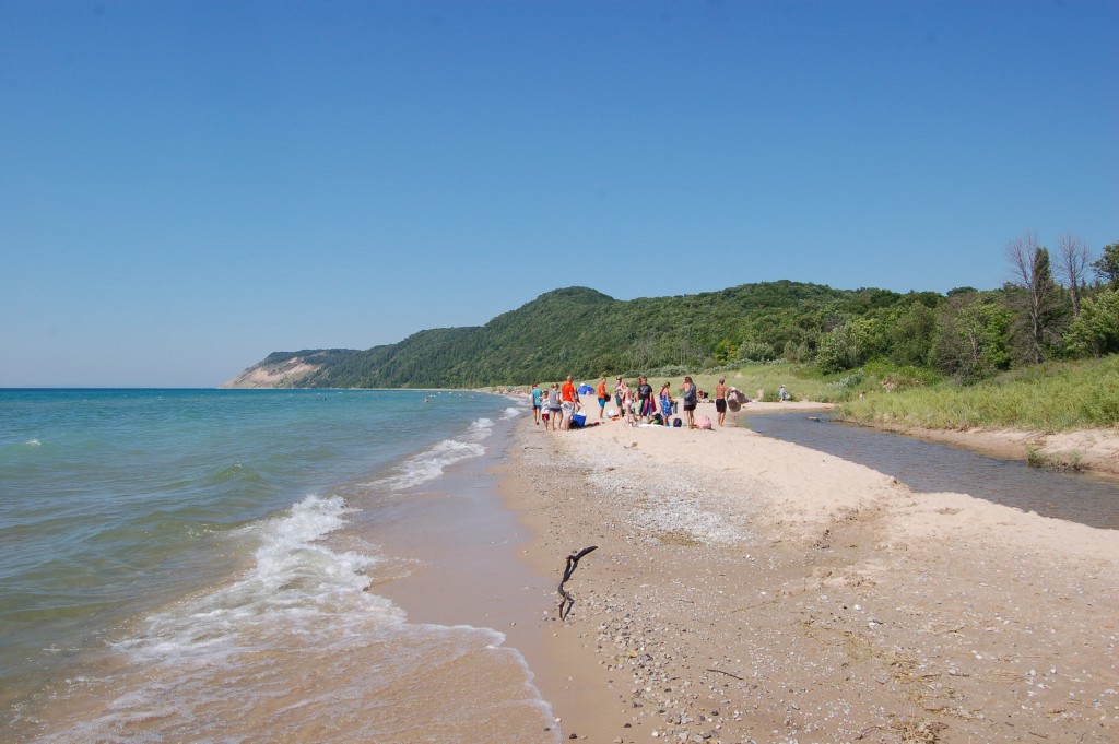
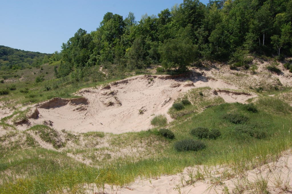
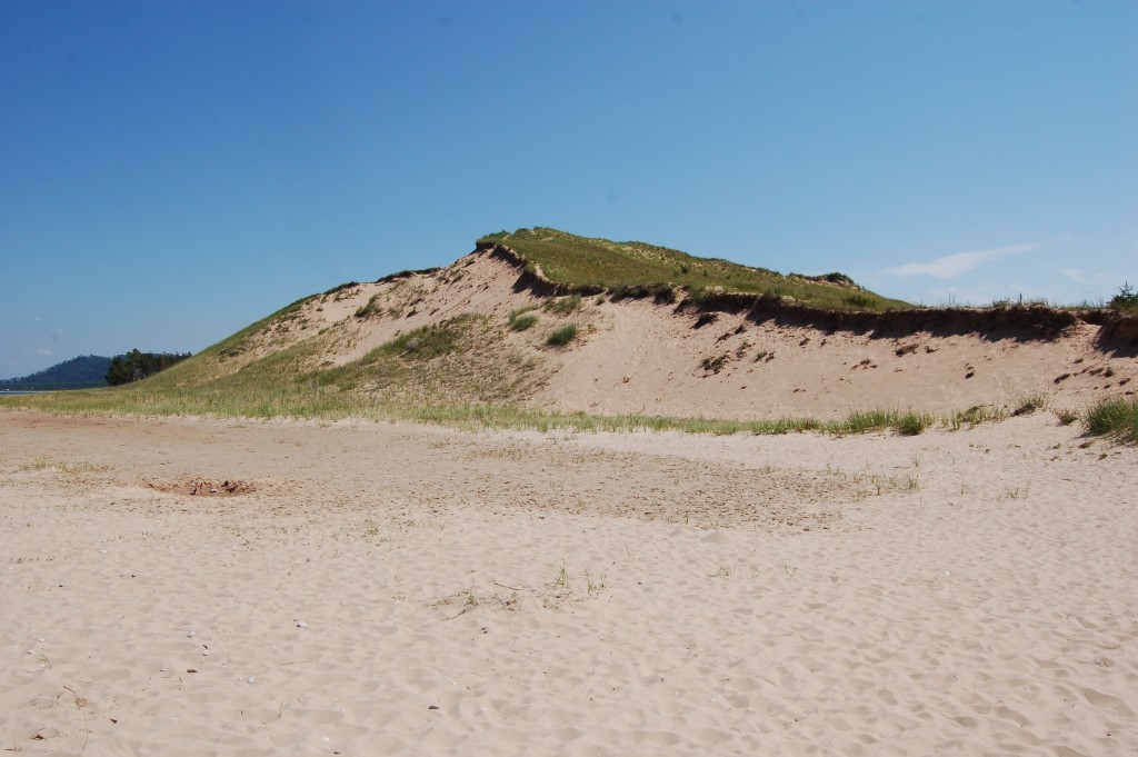
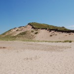
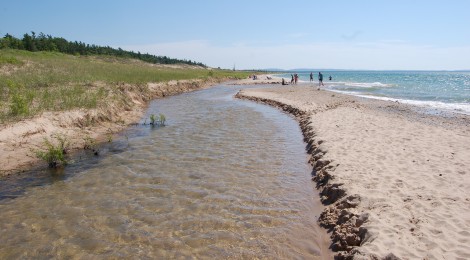
The Sleeping Bear Dunes National Lakeshore is without question one of the most beautiful places in Michigan, featuring 35 miles of coastline on Lake Michigan, two islands, beaches, dune formations and more. We recently shared a list of 22 Things To See At Sleeping Bear Dunes National Lakeshore, and we’ve also featured it on lists of 10 Must-Visit Locations on the Lake Michigan Circle Tour, 10 Amazing Places For Fall Color in the Lower Peninsula, and our 15 favorite places we visited in 2015. While it is possible to visit Sleeping Bear Dunes on a day trip, it takes several days or a week to fully experience everything there is to see and do.
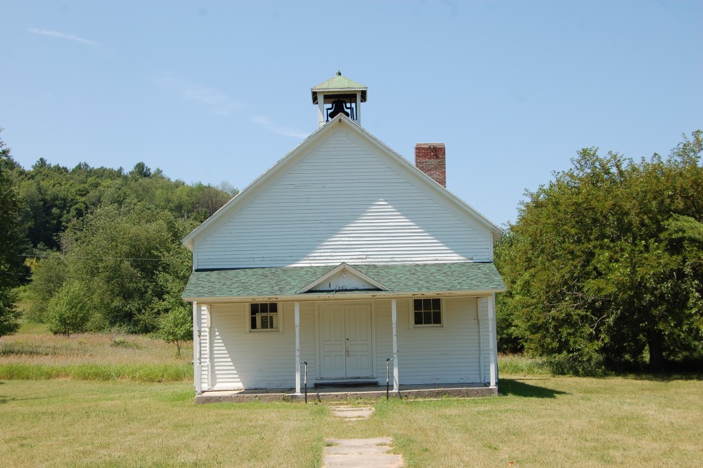
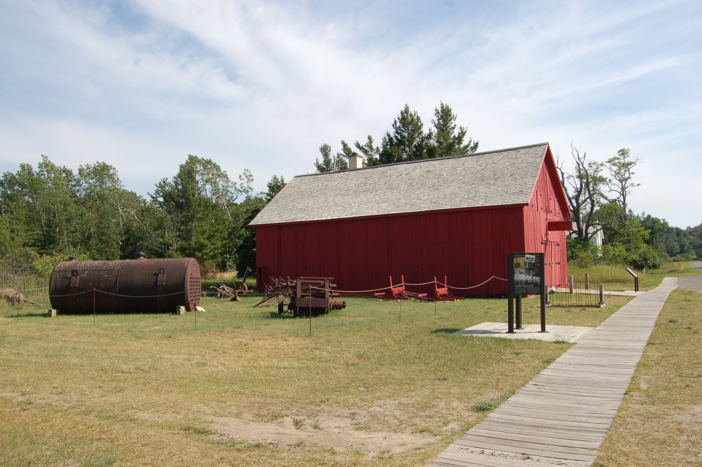
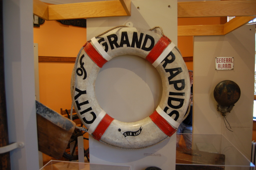
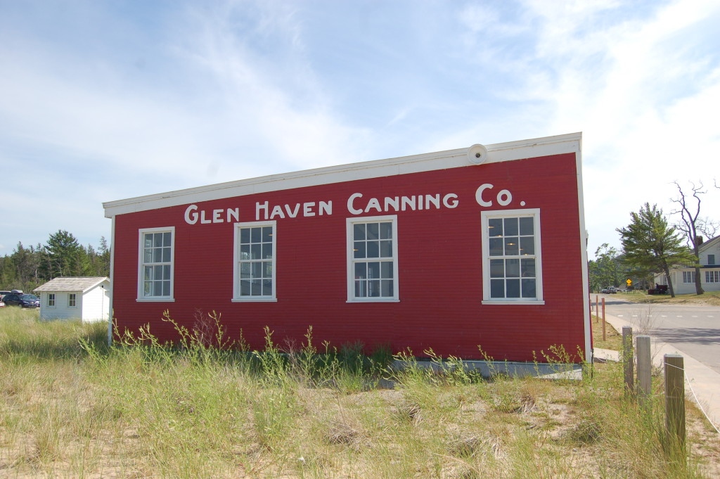
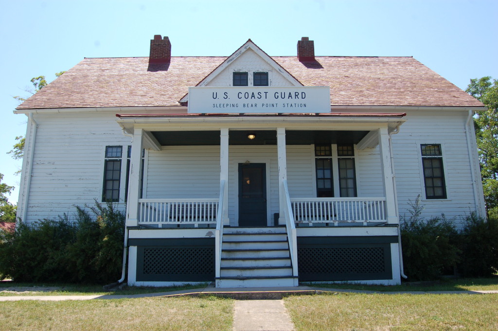
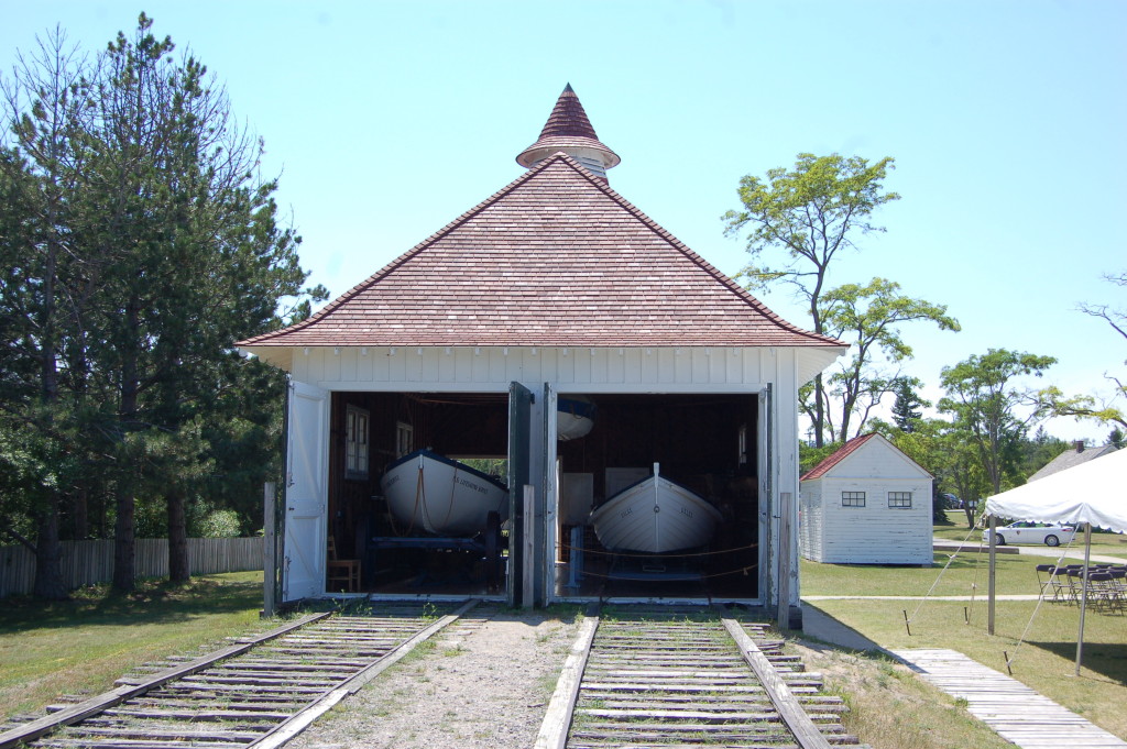
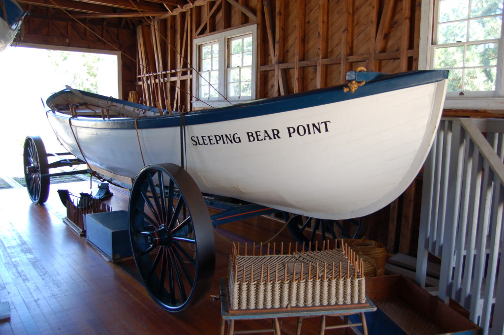
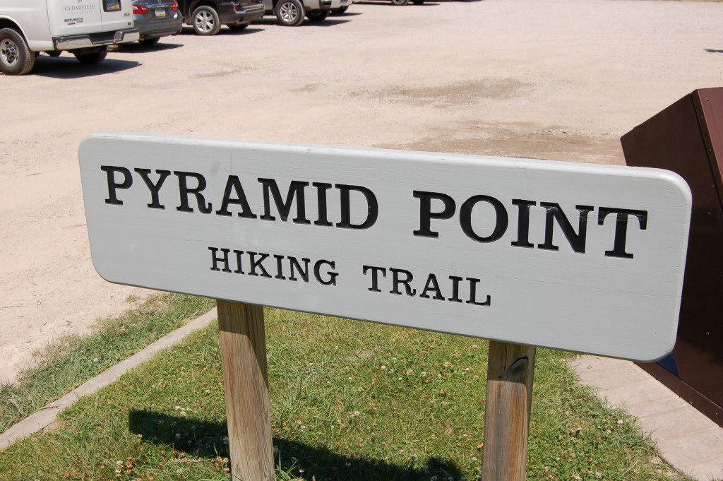
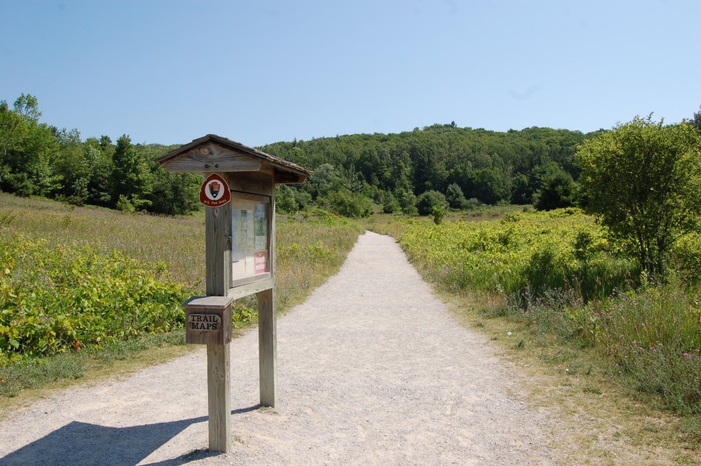
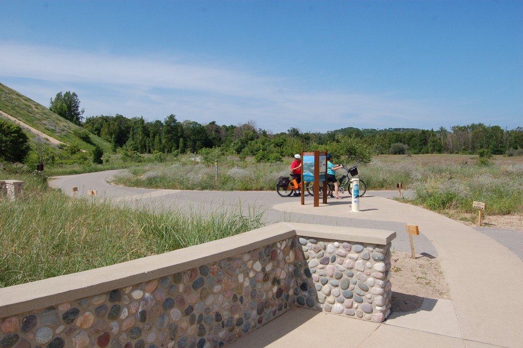
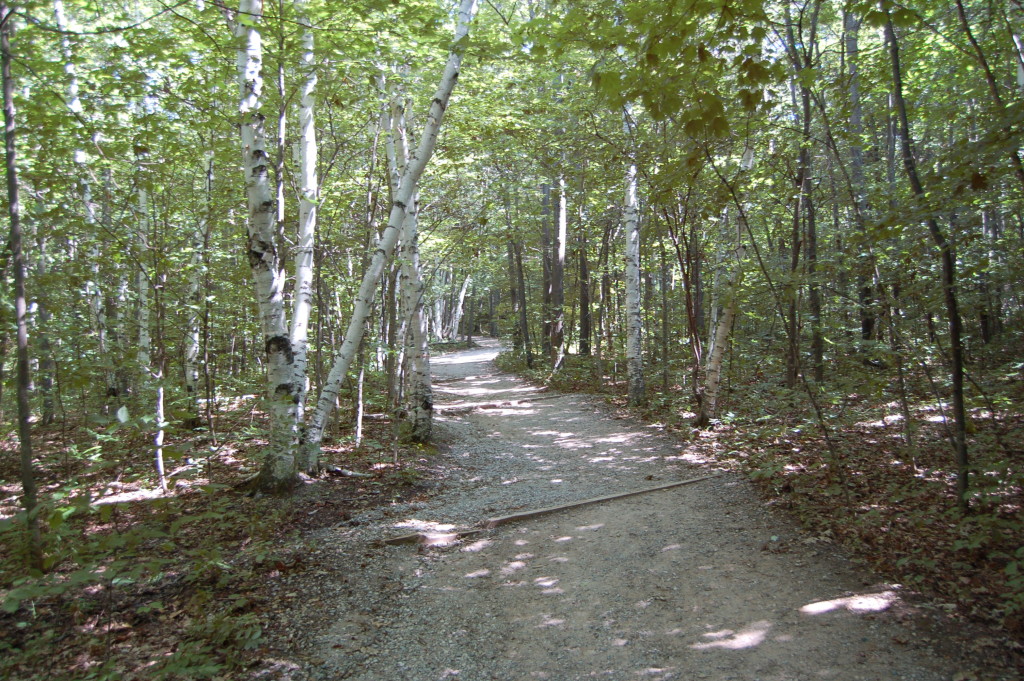
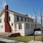
More than a million people visit the Sleeping Bear Dunes National Lakeshore each year, stopping to enjoy the natural features, historical sites, and outdoor recreation opportunities. Hikers can enjoy stunning views from trails like the Empire Bluff Trail and Pyramid Point Trail, while bicyclists can add to their national lakeshore visit by enjoying the Sleeping Bear Heritage Trail (which will eventually be 27 miles long). Historical sites include the Port Oneida Historic Farm District, Glen Haven Historic Village and Sleeping Bear Point Coast Guard Maritime Museum.
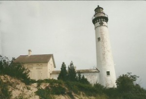
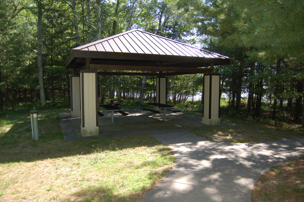
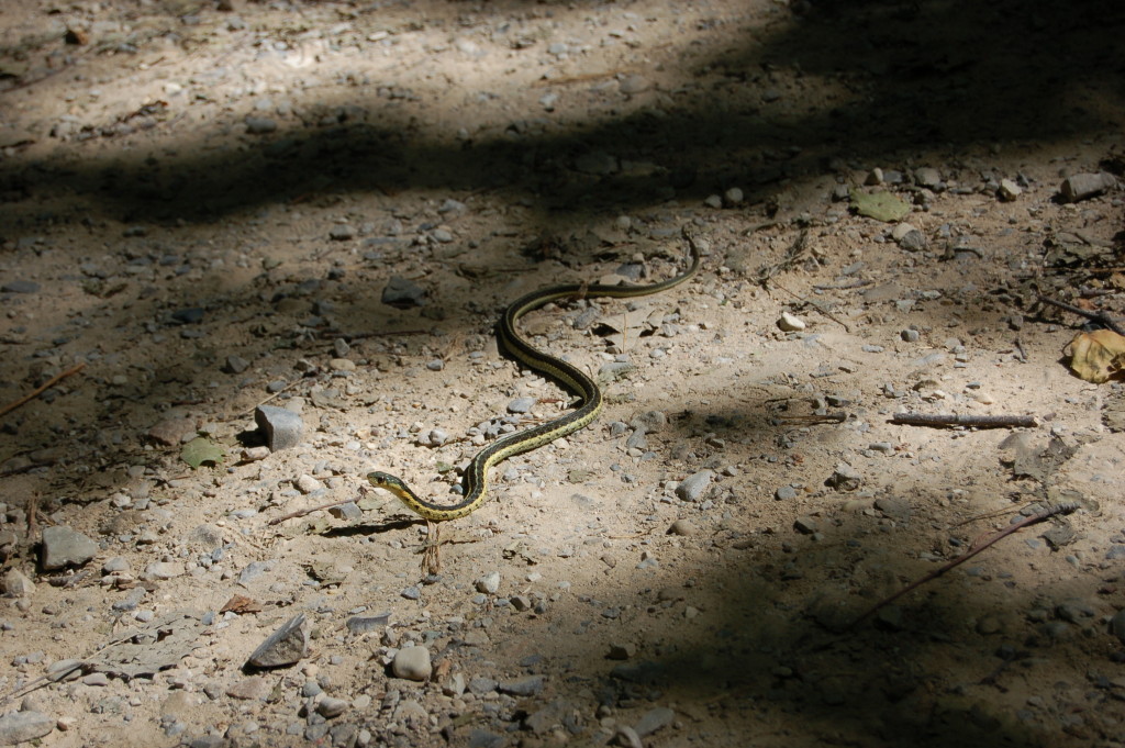
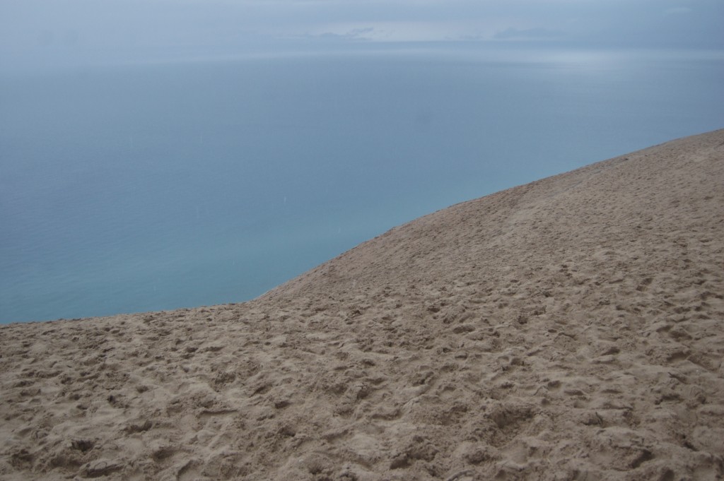
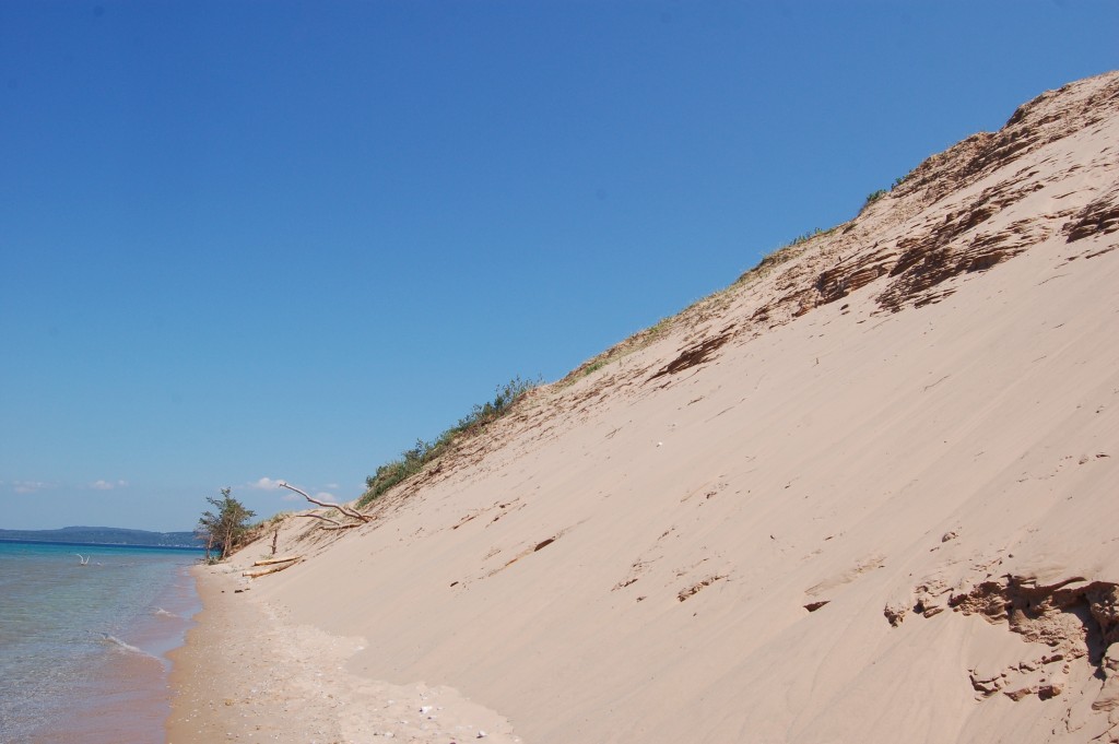
South Manitou Island is home to a historic lighthouse, some of the world’s oldest and largest Northwest white cedar trees, the wreck of the Francisco Morazan, two campgrounds and miles of hiking trails. North Manitou Island features rustic backcountry camping, remnants of old farms, hiking trails, wildlife viewing opportunities and more. Both islands can be reached by taking a ferry from Leland, find out more at http://manitoutransit.com/. Enjoy this collection of some of our favorite pictures from the Sleeping Bear Dunes National Lakeshore!

