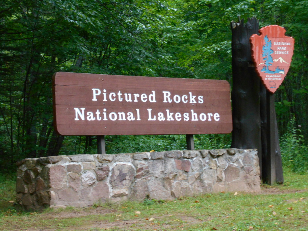
Photo Gallery Friday: Pictured Rocks National Lakeshore

Photo Gallery Friday is a regular feature on Travel the Mitten that will help showcase photos from places where one post just isn’t enough to show off everything.
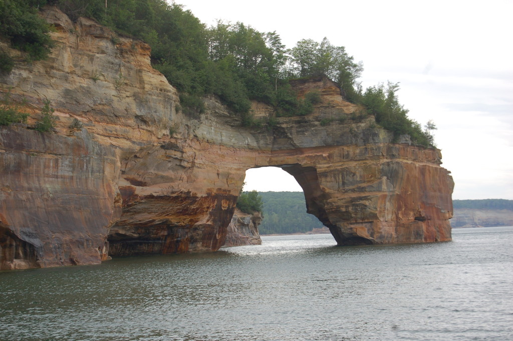
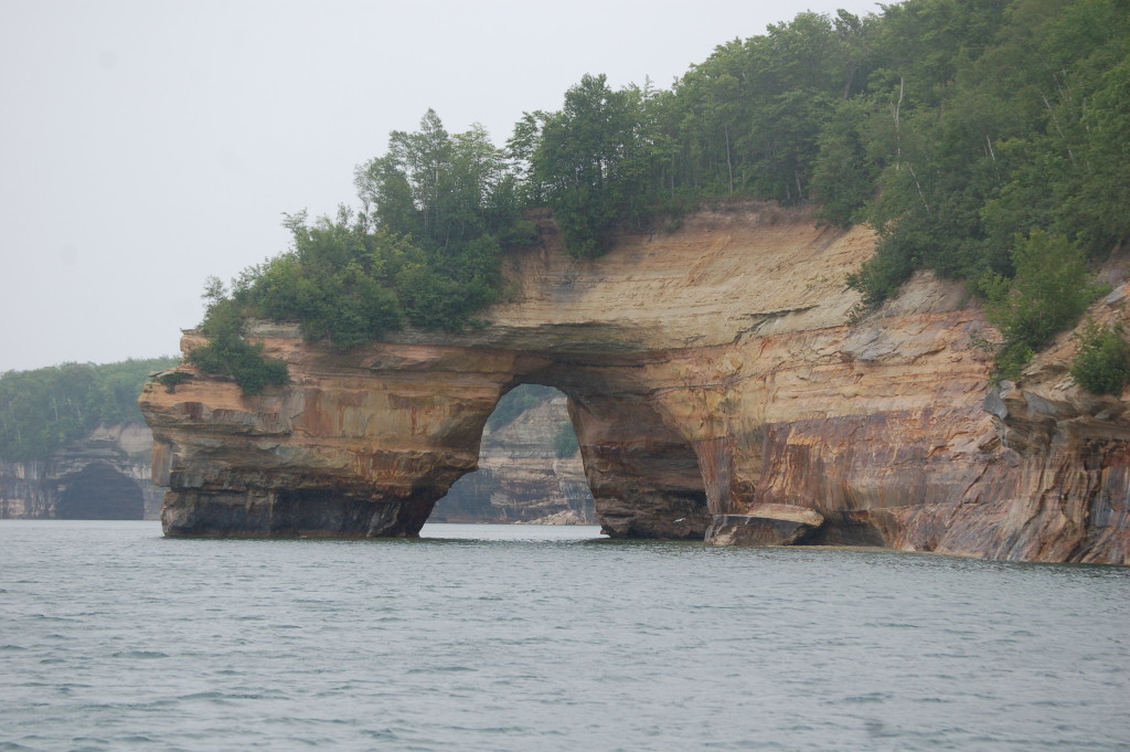
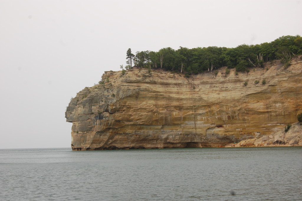
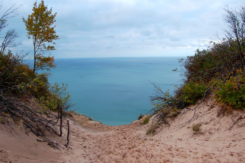
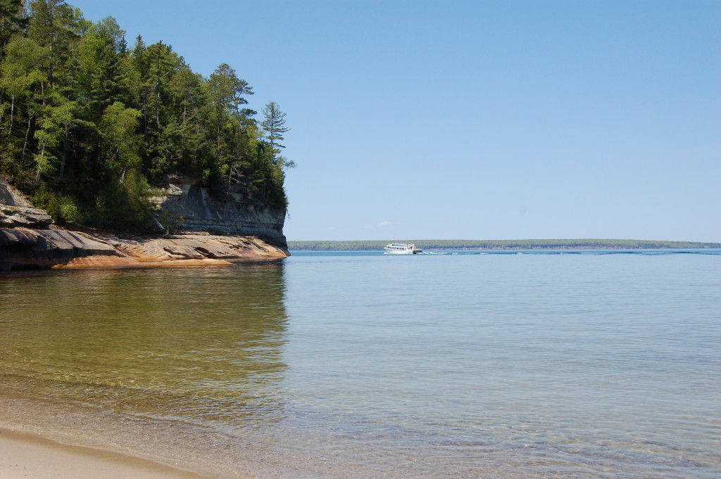
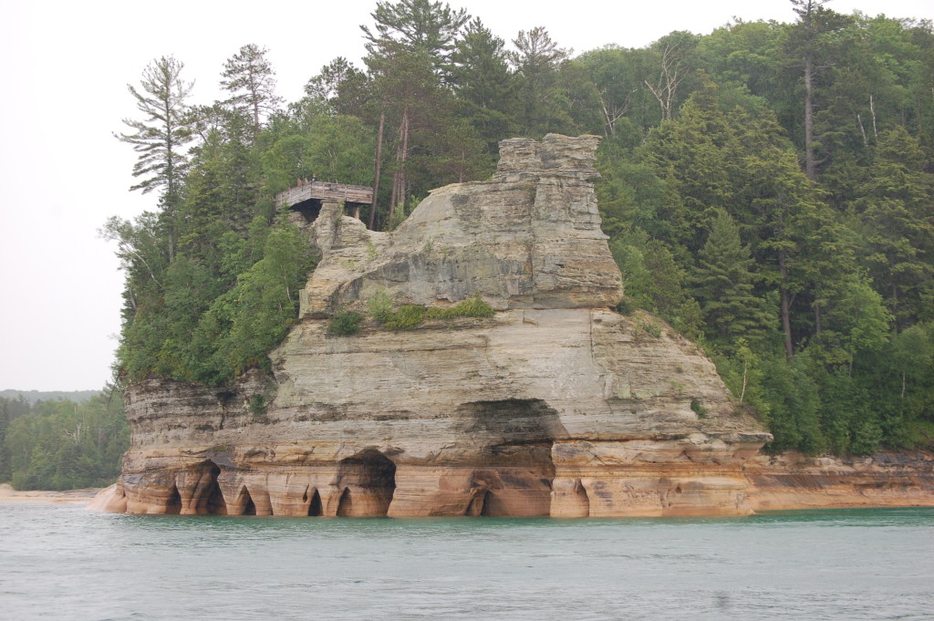
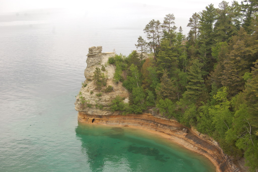
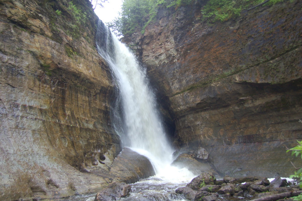
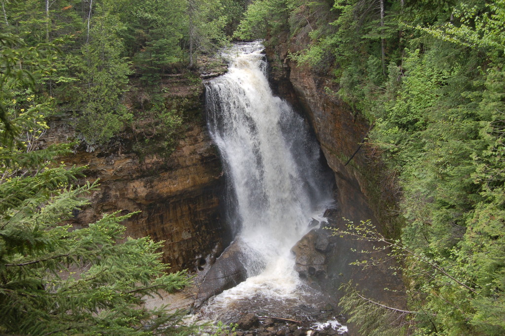
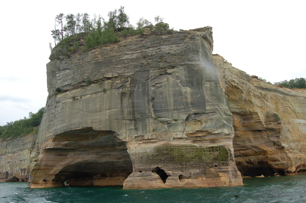
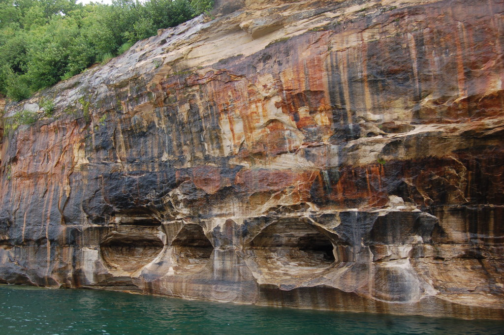
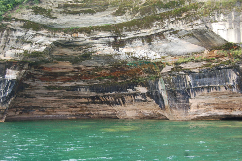
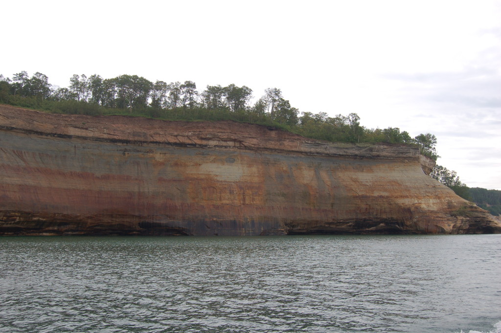
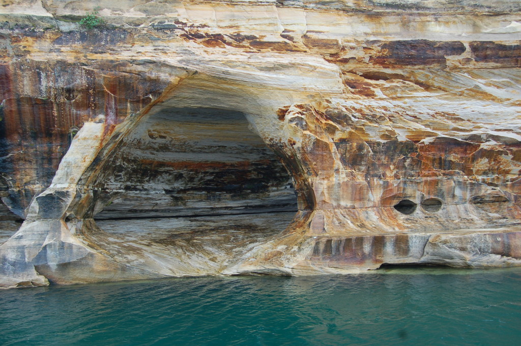
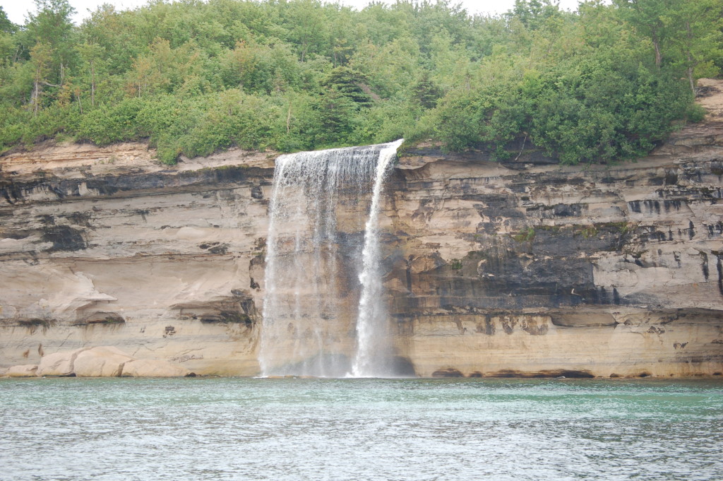
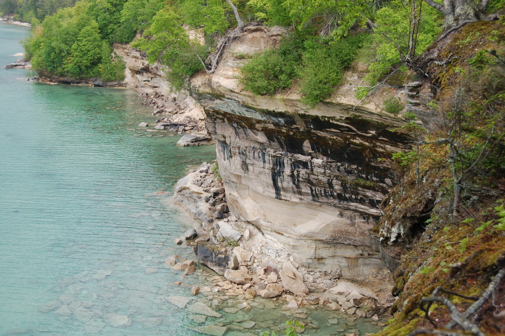
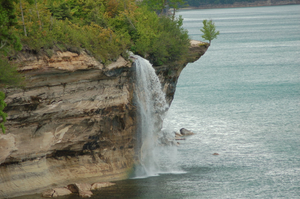
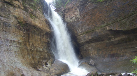
Pictured Rocks National Lakeshore is one of our favorite places in Michigan. With miles of hiking trails, scenic cliffs, plentiful waterfalls and more this is one of the most beautiful stretches of shoreline on Lake Superior. Nearly half a million visitors each year explore this pristine wilderness in a variety of ways: hiking and camping, kayaking, or from the Pictured Rocks Boat Tour or Glass Bottom Shipwreck Tours cruises. Each way to experience the lakeshore provides a different vantage point of some of Michigan’s most amazing natural rock formations, tallest waterfalls, and old, historic lighthouses.
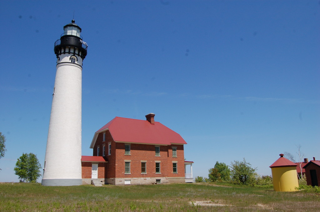
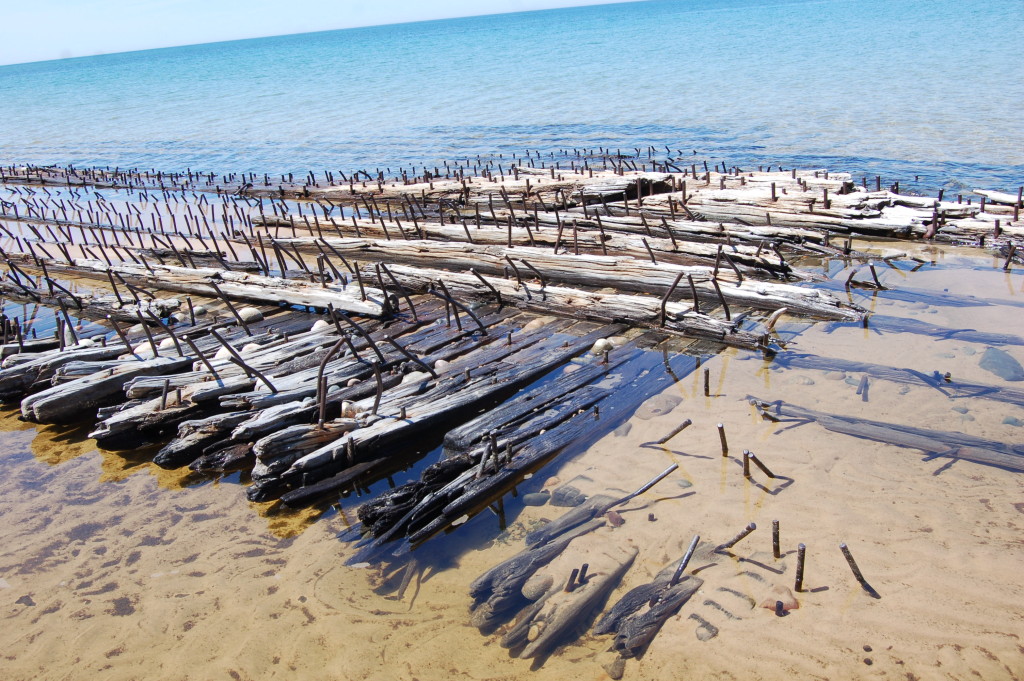
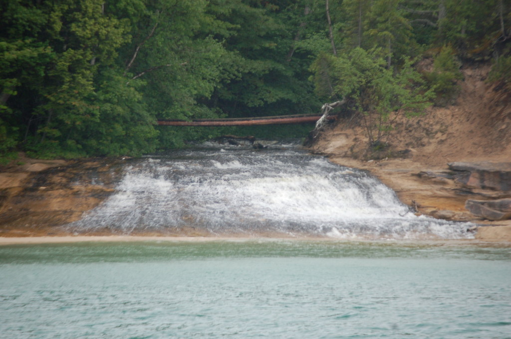
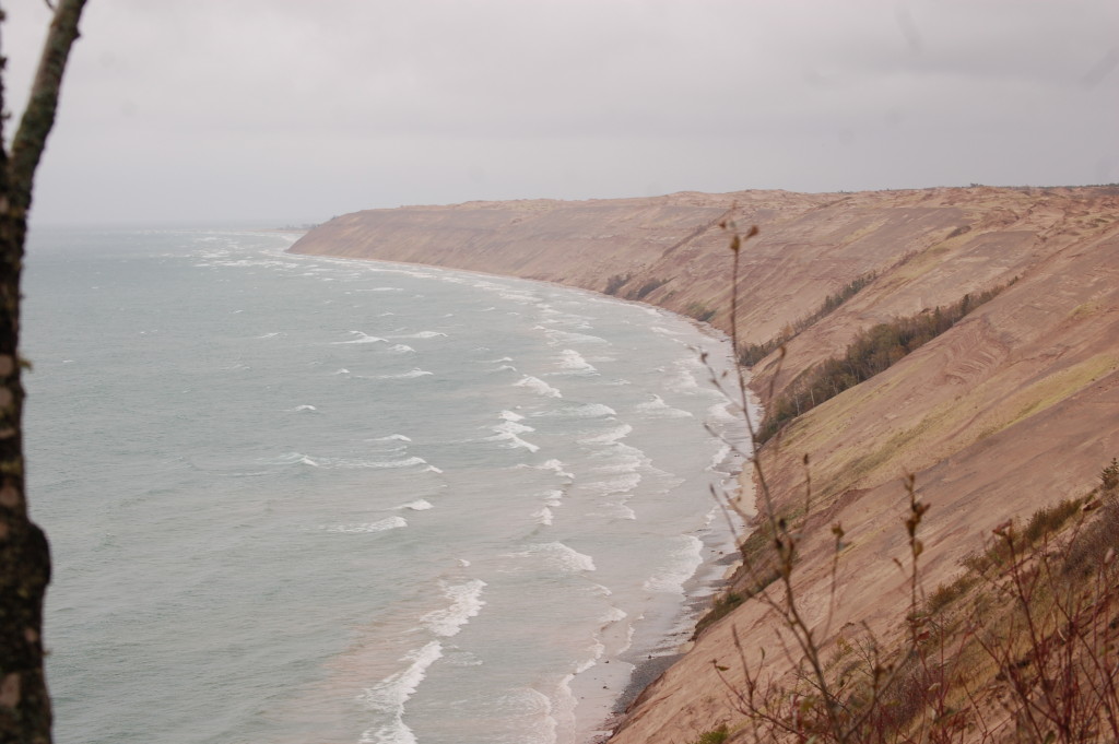
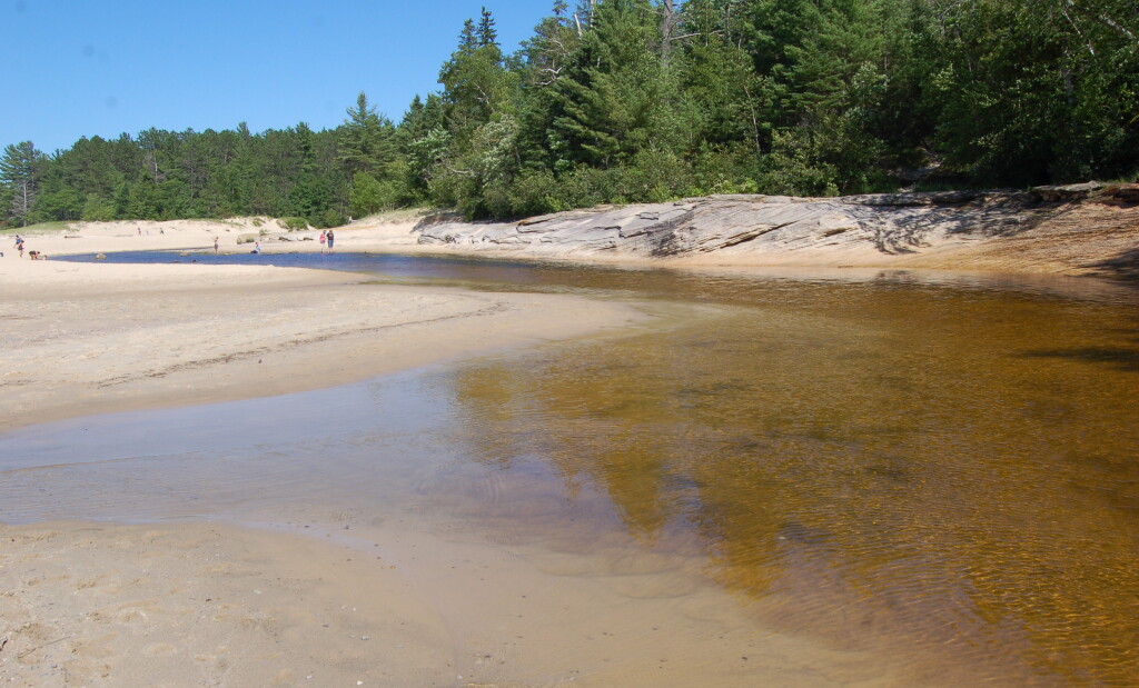
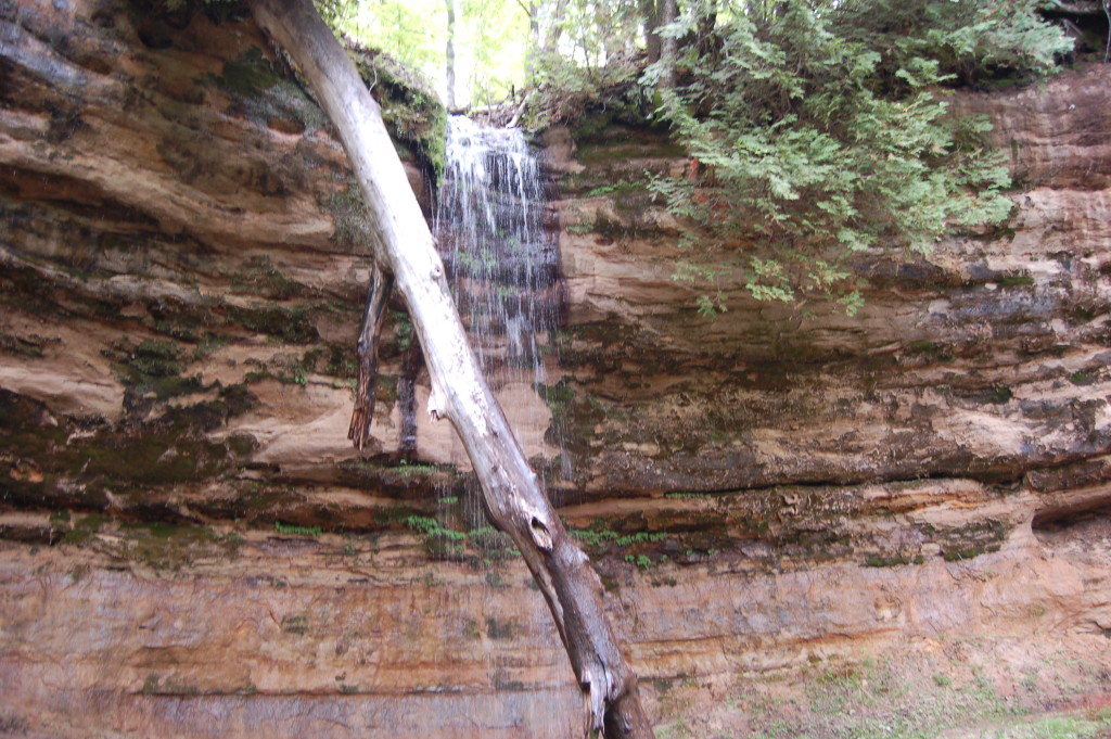
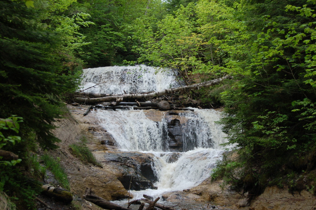
The Au Sable Lighthouses, shown above, can be reached by a short hike. Along the way several shipwrecks are visible in the shallow Lake Superior water, and once you reach the lighthouse you’ll find it open for climbing the tower (seasonally). Other day hikes lead to Chapel Falls, Miners Falls, Mosquito Falls, Spray Falls and more. Munising Falls is located within the city limits, and Sand Point’s beach and warmer water is just down the road. The Grand Sable Dunes and Sable Falls lie on the east end of the national lakeshore near Grand Marais. Whether you’re looking to visit for a day or a week, there’s something for everyone here as you can see.
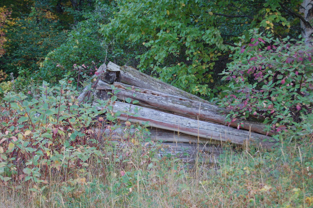
Enjoy this look at some of our favorite pictures, and feel free to share your favorite places in Pictured Rocks below in the comments.