

Superior Falls on the Montreal River – Gogebic County

One of several beautiful falls on the Montreal River (which forms the border between Michigan and Wisconsin), and one of two that access to has been recently improved by XCel Energy, Superior Falls is a roaring gem reached by a short semi-difficult hike.

The first time, I visited Superior Falls (and according to the Penrose directions), it was viewed from an observation area near the top of the power station, providing a stunning and distant view of the falls. Below is a recent photo from a visit in August of 2015:
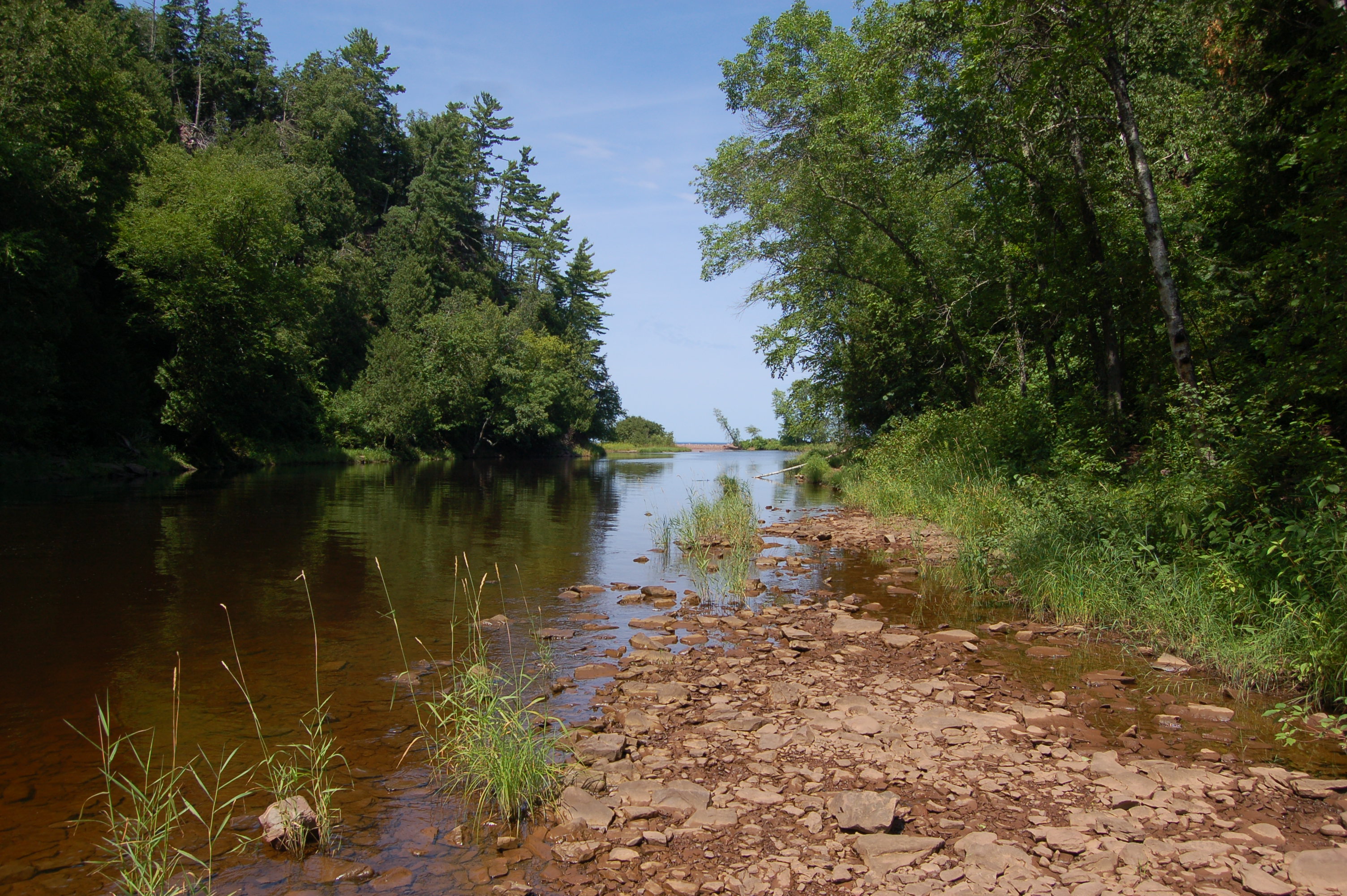
On our return visits dating back to 2012, we found that a path leading to the base of the falls was open, providing an amazing view of the cliffs along the Lake Superior shoreline:

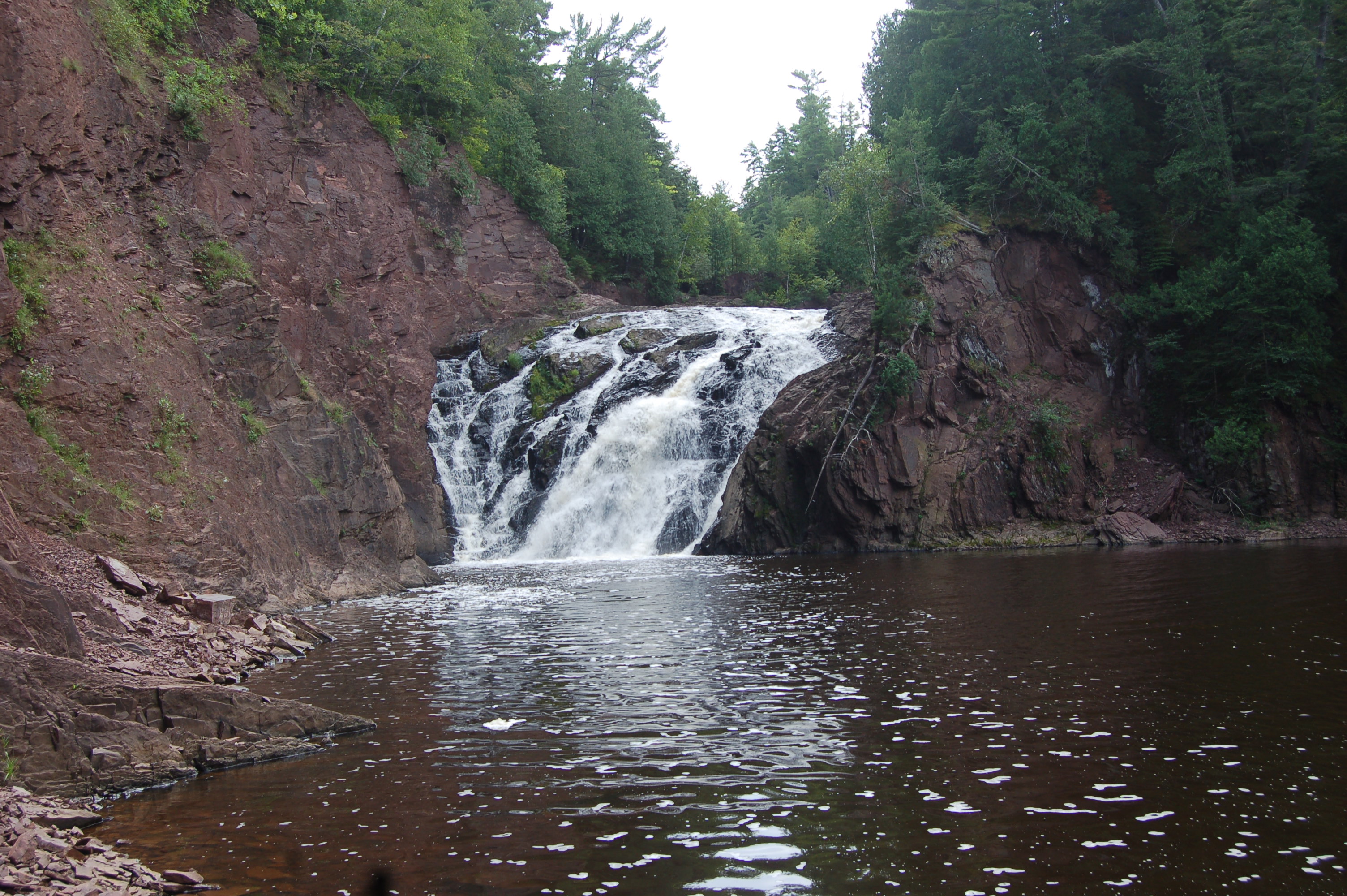
From here the path turns in and follows the river, mostly a well-worn flat path. It passes a powerhouse, then becomes more narrow as it gets rocky – the first view of the falls is great:

Getting in closer requires climbing on some rocks and following a curved shoreline of very loose rock – watch your footing, but the reward will be worth it.

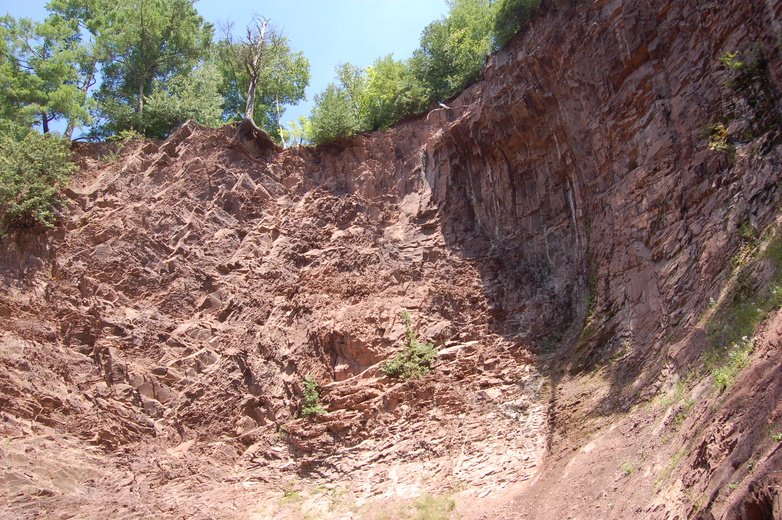
Up close, it is easy to see how the falls make their way down the cliff, dropping about 40 feet. A dam upstream strips them of much of their former power, at some point this river would have been a lot higher!

A big thanks to XCel Energy for keeping access to these falls open – we need more companies like them! This is a great spot to hang out for awhile, and we’ve even managed to spot some wildlife here like a juvenile bald eagle and the family of mergansers shown below:

Directions: From Ironwood, take US-2 west into Wisconsin and head north on Hwy. 122. Follow it north for a little over four miles, crossing back into Michigan. Look for a gravel road on the left marked with a sign for the falls shortly after crossing the river.
Be prepared for: steep hike, possible wet/uneven terrain.